

The Challenge With Seeing Floods
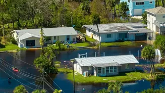
Traditionally, monitoring floods has been a ground-level effort. River gauges measure rising water levels, and weather reports predict heavy rainfall. While essential, these methods have limitations. Gauges only provide data for specific points along
a river, and by the time visual confirmation of a flood arrives, it's often too late for proactive measures. The very weather that causes floods—thick clouds and relentless rain—also blinds conventional optical satellites, which work like a camera and need a clear view. This means that during the most critical moments of a deluge, authorities are often left working with incomplete information, slowing down rescue and relief efforts.
A New Eye in the Sky: Synthetic Aperture Radar
The game-changer is a technology called Synthetic Aperture Radar, or SAR. Unlike optical satellites, SAR doesn't take pictures with light. Instead, it sends out its own microwave signals towards the Earth's surface and measures the signals that bounce back. This allows it to 'see' day or night, and most importantly, it can penetrate clouds, smoke, and haze. When these radar signals hit a smooth surface like floodwater, they reflect away from the satellite, creating a dark signature in the data. In contrast, rougher, dry land scatters the signal back. By comparing images taken before and during a flood, scientists can instantly create detailed maps showing the exact extent of the inundation.
From Raw Data to Actionable Intelligence
Having this data is one thing; making it useful is another. When a flood event occurs, space agencies like the Indian Space Research Organisation (ISRO) task their satellites to capture images of the affected area. Advanced algorithms then process this data in near-real time to generate flood extent maps. These maps distinguish between existing rivers or lakes and newly flooded land. They can even be combined with terrain models to estimate floodwater depth. This information is then disseminated through portals like ISRO's National Database for Emergency Management (NDEM) to national and state disaster management authorities, equipping them with a clear, shared picture of the evolving situation on the ground.
Transforming Disaster Response in India
For a country as vast and flood-prone as India, this technology is transformative. During major floods, ISRO provides a continuous stream of maps and data to response agencies. For example, in 2023, 14 states in India witnessed major floods, and ISRO disseminated around 260 inundation maps and other products to help manage the crises. This intelligence allows responders to prioritise resources, identify cut-off villages, plan helicopter rescue operations, and direct aid to the hardest-hit areas with unprecedented speed and accuracy. It shifts the entire approach from being purely reactive to proactively anticipating a flood's path and impact.
The Future is Collaborative: The NISAR Mission
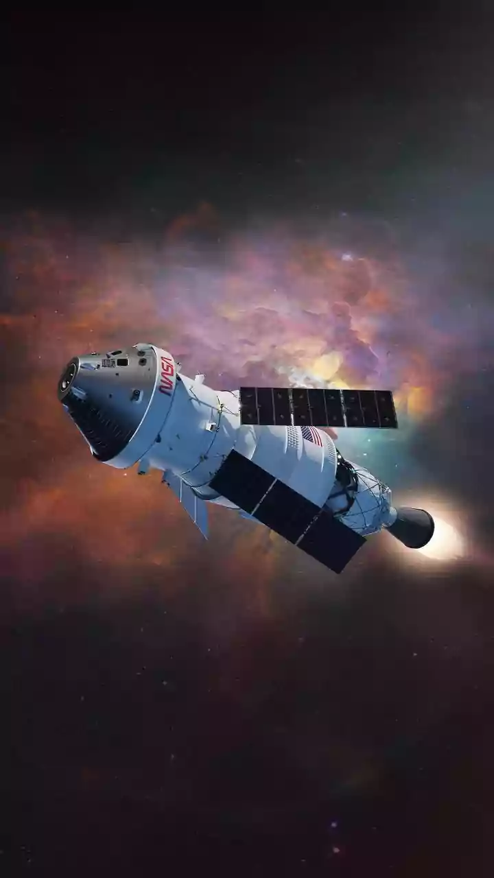
The future of satellite flood tracking is even more promising. A major upcoming project is the NASA-ISRO Synthetic Aperture Radar (NISAR) mission. This joint effort will launch a sophisticated satellite that will scan nearly all of Earth's land and ice twice every 12 days. Its advanced radar will be able to detect changes in water levels, see flooding beneath forest canopies, and provide a reliable, all-weather stream of data. This will not only enhance flood forecasting but also support long-term damage assessment, infrastructure monitoring, and studies on the impacts of climate change.