


An Eye in the Sky Like No Other
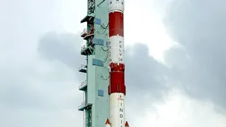
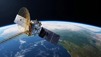
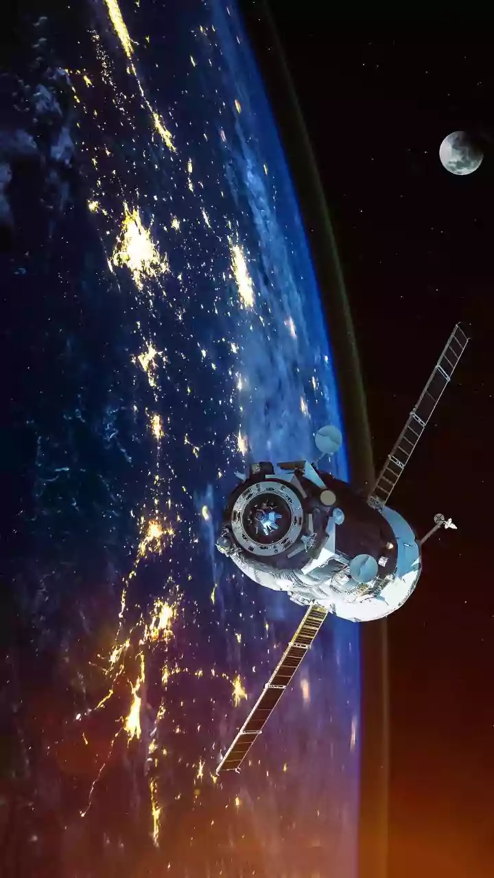
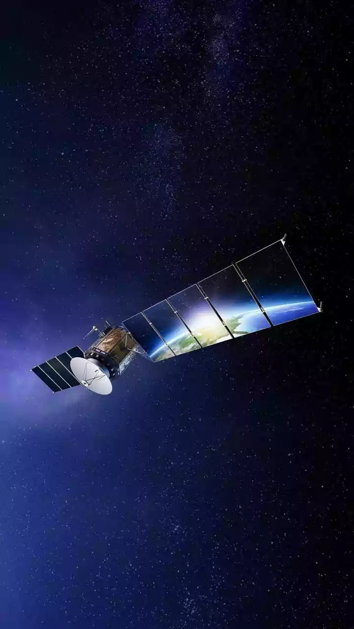
The NISAR (NASA-ISRO Synthetic Aperture Radar) mission is a landmark collaboration in space. Launched in July 2025, the satellite is equipped with sophisticated radar technology designed to map our planet in incredible detail. Circling the Earth at an altitude
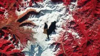
of 747 kilometres, it revisits nearly every spot on the globe every 12 days. This regular, predictable rhythm allows scientists to build a time-lapse picture of the Earth's surface, tracking subtle changes with a precision of less than a centimetre. Unlike optical satellites that are essentially cameras in space, NISAR doesn't need sunlight and can see straight through clouds and rain, making it an all-weather, day-and-night sentinel for India's environment. This capability is crucial for monitoring changes during the monsoon season or in persistently cloudy regions.
Seeing the Invisible with Dual Radar
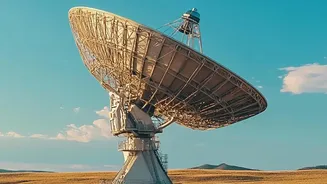
What makes NISAR truly special is that it's the world's first satellite to use two different radar frequencies simultaneously: the L-band and the S-band. Think of it like having two types of vision. The L-band, provided by NASA, has a longer wavelength (about 24 cm) that can penetrate through forest canopies and even into the top layers of soil. This is essential for understanding what's happening on the ground beneath dense vegetation. The S-band, built by ISRO, uses a shorter wavelength (about 10 cm) that is highly sensitive to surface details, like crop health and soil moisture. By combining the data from both, scientists get a comprehensive view that is far more powerful than either frequency could provide alone. This dual-frequency system allows NISAR to distinguish between different types of vegetation, measure soil water content, and track tiny movements of the ground itself.
Mapping Water Beneath the Surface
For a nation grappling with water scarcity, understanding groundwater is a matter of survival. NISAR offers a revolutionary way to monitor this hidden resource. It doesn't see the water directly, but it detects the consequences of its use. As groundwater is pumped from aquifers for agriculture and daily use, the ground level can sink slightly, a phenomenon known as subsidence. NISAR's radar is so precise it can measure these minute changes in land surface elevation. By repeatedly scanning the same area, it can create detailed maps showing exactly where groundwater is being depleted most rapidly. This gives water resource managers an early warning system, helping them identify areas under stress long before wells run dry. Furthermore, ISRO has developed algorithms to process NISAR data into high-resolution soil moisture maps, providing crucial information for irrigation planning and drought forecasting at a 100-metre scale, a massive improvement on previous capabilities.
A New Guardian for Our Forests
India's forests are vital carbon sinks and biodiversity hotspots. NISAR provides a powerful new tool for monitoring their health. The L-band radar's ability to penetrate vegetation allows it to measure 'aboveground biomass'—the total amount of organic matter, like trunks and branches, in a forest. This helps in accurately calculating how much carbon our forests are storing, a key factor in climate change mitigation. The satellite's frequent revisits can quickly detect deforestation, whether from illegal logging or urban expansion. It can also assess the extent of damage from natural disasters like forest fires and track the recovery of ecosystems afterward. The data will help forestry officials manage resources more effectively, protect vulnerable areas, and combat the drivers of land degradation across the country.
From Data to Daily Decisions
The wealth of information from NISAR is not just for scientists. The data, which is being made freely available, is designed to empower a wide range of users across India. For farmers, near-real-time soil moisture data can guide more efficient irrigation, leading to better crop yields and water conservation. For disaster management agencies, NISAR's ability to map floodplains (even under a thick tree canopy) and detect land movements can provide critical early warnings for landslides and support faster emergency response. Urban planners can monitor subsidence to ensure the safety of infrastructure like bridges and dams. In essence, NISAR translates high-tech space observations into actionable intelligence that can strengthen India's food security, water security, and resilience to climate change.