







A Constellation for Cooperation
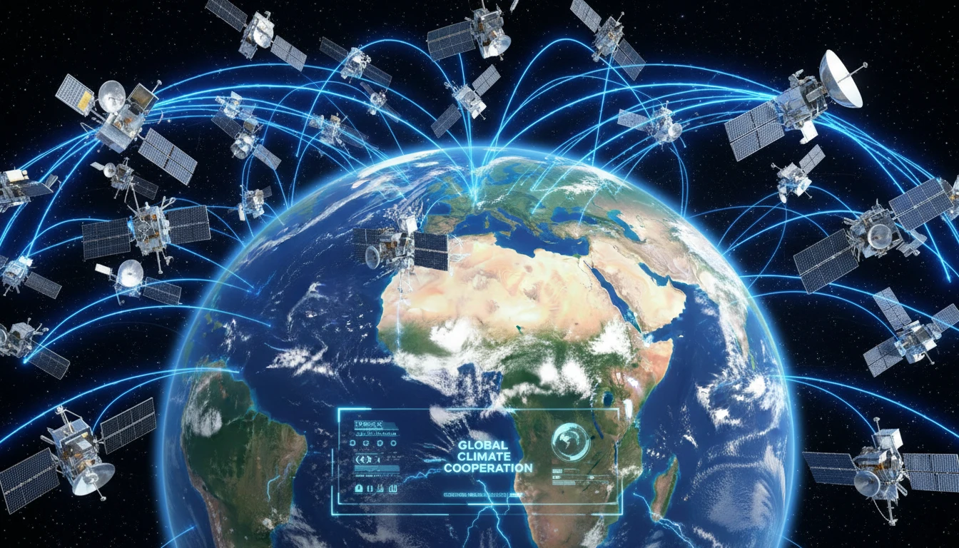
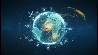
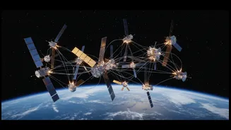
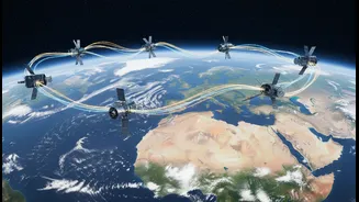
The BRICS nations—Brazil, Russia, India, China, and South Africa, along with newer members—are forging a unique alliance in space. The key initiative is the BRICS Remote Sensing Satellite Virtual Constellation, based on an agreement signed by the bloc's
space agencies. This is not about launching a single new satellite, but rather creating a powerful, data-sharing network of existing ones. Under the agreement, members contribute data from their own satellites, including India's Resourcesat-2 and 2A, to a shared pool. This creates a 'virtual constellation' that allows all participating countries to access a much richer and more varied stream of Earth observation data than any single nation could gather alone.
Seeing the Unseen from Above
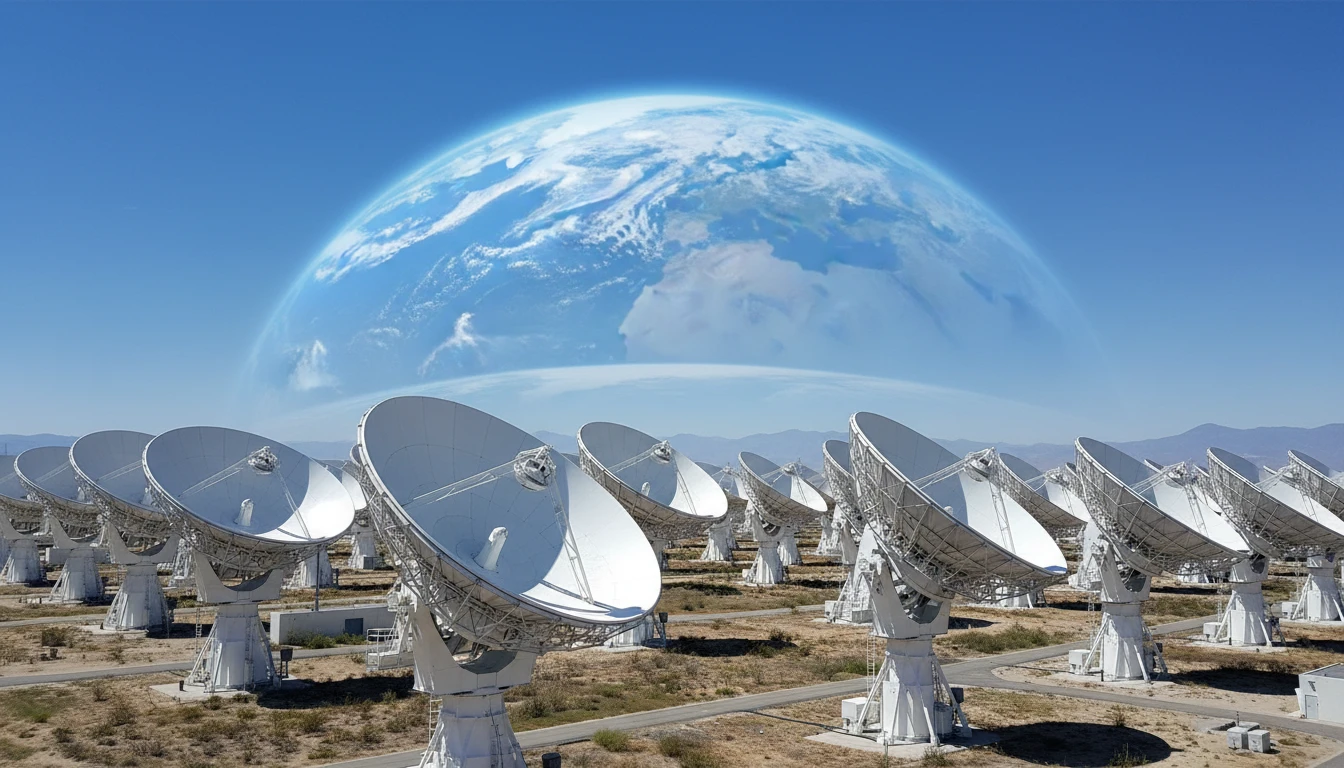
Remote sensing is essentially the science of gathering information about the Earth from a distance, primarily using satellites. These spacecraft are equipped with advanced sensors that can monitor everything from cloud patterns and atmospheric moisture to ground-level changes like soil water content and vegetation health. Technologies like Synthetic Aperture Radar (SAR) can even 'see' through clouds and at night, making them invaluable for monitoring floods and ground movement during severe weather. By capturing data across different wavelengths of light, these satellites provide critical insights that are invisible to the human eye, painting a detailed picture of environmental conditions on a massive scale.
A Shared Struggle with Nature
The need for such a collaboration is rooted in a shared vulnerability. The BRICS countries span vast and diverse territories, all of which are highly susceptible to climate-related disasters. India and China face the fury of monsoons, which can bring devastating floods and landslides. Brazil contends with both Amazon deforestation and severe droughts, while South Africa also grapples with water scarcity. Meanwhile, Russia faces challenges like widespread wildfires. This common threat has spurred a collective understanding that cooperative action and data sharing are essential for mitigating the socio-economic impacts of climate change.
Stronger Together Through Smarter Data
The primary advantage of the virtual constellation is the power of combined data. A single country's satellite might pass over a specific location once a day or every few days. By pooling data from multiple satellites, BRICS nations can dramatically increase the frequency of observation. This improved 'temporal resolution' means being able to monitor a developing cyclone or a spreading flood almost in real time. Furthermore, combining data from different types of sensors provides a more complete and accurate picture, enhancing the quality of forecasts and disaster models. Within the first year of the agreement, the countries had already exchanged data covering over 27 million square kilometres, demonstrating the system's immediate utility.
From Data to Daily Life
The ultimate goal is to translate this high-level data into tangible benefits for citizens. For India, this could mean more accurate and timely warnings for cyclones along its extensive coastline, allowing for more effective evacuations. Farmers could receive better information about soil moisture and weather patterns to optimise irrigation and improve crop yields. During a flood, satellite data can quickly identify which roads are impassable and which villages are cut off, guiding rescue teams more effectively. It represents a critical shift from simply reacting to disasters to proactively managing risks, building resilience, and saving lives and livelihoods.