





What is Persistent Satellite Monitoring?
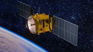
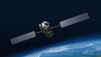
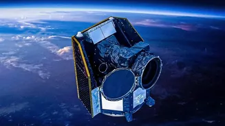
Persistent satellite monitoring refers to the capability of certain spacecraft, particularly those in geostationary orbit, to continuously observe a specific area of the Earth. Unlike satellites in lower orbits that pass over a location periodically,
a geostationary satellite orbits at about 36,000 kilometres above the equator, matching the Earth's rotation. This allows it to remain seemingly fixed over one spot, providing a constant stream of data. This capability is crucial for both national security and meteorology, enabling real-time tracking of developing situations, from troop movements along a border to the formation of a cyclone in the Bay of Bengal.
An Unblinking Eye on India's Borders
India's long and often rugged land borders present significant surveillance challenges. Traditional ground patrols can be hampered by difficult terrain, harsh weather, and the sheer scale of the area. This is where satellite surveillance becomes a game-changer. ISRO has been instrumental in developing a constellation of earth observation and imaging satellites that provide crucial intelligence. Recently, India has been fast-tracking the launch of dozens of new surveillance satellites to reduce the time it takes to revisit areas of interest from days to mere hours. For instance, the upcoming EOS-05 mission is designed to be India's first imaging satellite in geosynchronous orbit, enabling near-continuous watch over the Indian subcontinent. These 'eyes in the sky' are equipped with high-resolution cameras and advanced sensors like Synthetic Aperture Radar (SAR), which can see through clouds and at night, ensuring round-the-clock vigilance. This enhances the ability of security forces to monitor border activities, detect potential infiltrations, and maintain situational awareness in strategic areas.
From Defence to Daily Forecasts
The same fundamental technology that guards the nation also helps predict its weather with remarkable precision. Many of India's satellites are dual-use, serving both civilian and strategic purposes. The Indian National Satellite System (INSAT), a joint venture including ISRO and the India Meteorological Department (IMD), has been a cornerstone of the country's weather monitoring since the 1980s. This network of multipurpose satellites provides a constant feed of data on atmospheric conditions. By having this advanced infrastructure in space, India leverages its strategic assets for the public good, directly impacting agriculture, disaster management, and the daily lives of millions.
Revolutionizing Weather Prediction
Satellites like INSAT-3D and INSAT-3DR are dedicated meteorological workhorses, providing updates on India's weather as frequently as every 15 minutes. They carry advanced instruments called imagers and sounders, which capture detailed data on cloud cover, temperature, humidity, and wind patterns. This information is fed into supercomputers that run complex models to simulate the atmosphere and generate forecasts. The real-time, comprehensive coverage provided by satellites is invaluable for tracking the formation and movement of cyclones, predicting the intensity of monsoons, and issuing timely warnings for extreme weather events like floods and heatwaves. This capability not only saves lives by enabling early evacuations but also supports vital sectors like agriculture, aviation, and shipping, which depend on accurate weather information for safe and efficient operations.