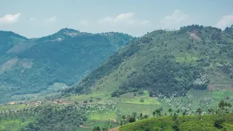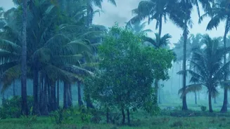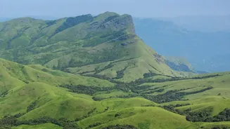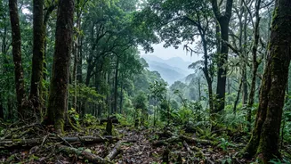



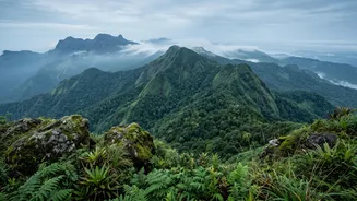
Nestled along India’s tropical Malabar Coast, Kerala is a land of stunning natural beauty, but its rich ecosystems are under constant pressure. To balance development and conservation, the state is turning to an innovative, data-driven strategy.
The Fragile Treasure
Kerala
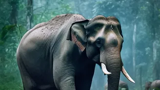
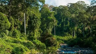
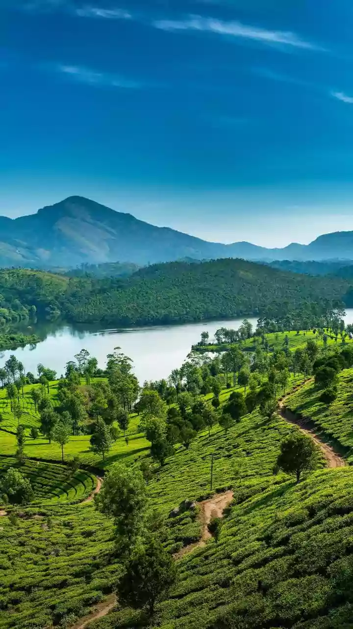
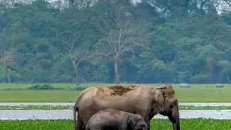
is home to a significant portion of the Western Ghats, a UNESCO World Heritage Site and one of the world's eight most important biodiversity hotspots. These mountains and forests are the source of numerous rivers, regulate the region's climate, and harbour thousands of unique species of plants and animals. However, these areas, designated as Ecologically Sensitive Areas (ESAs), face threats from urban expansion, deforestation, and climate change-induced disasters like landslides and floods. The central challenge for policymakers has been to identify precisely which areas are most at risk and how to protect them without completely halting necessary development in a state with high population density.
A Revolution in Data
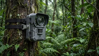
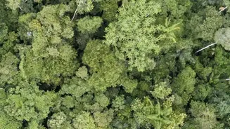
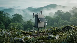
To tackle this, Kerala has embraced a multi-pronged data strategy. At the forefront is the use of Geographic Information System (GIS) and remote sensing technology. High-resolution satellite imagery helps create detailed maps that track changes in forest cover, identify illegal encroachments, and monitor land-use patterns over time. This allows authorities to see, for example, where deforestation is accelerating or where new construction encroaches on vital wildlife corridors. This geospatial data is foundational for demarcating the boundaries of ESAs, moving beyond historical maps to a dynamic, evidence-based understanding of the landscape. The debate over these boundaries, influenced by the seminal Gadgil and Kasturirangan committee reports, continues, with the state using refined data to argue for specific inclusions and exclusions.
From Data to Policy
This scientific information is not just academic; it directly informs governance. The Kerala State Biodiversity Board (KSBB), an autonomous government body, plays a crucial role in this process. Data collected on floral and faunal diversity helps pinpoint areas with rare or endangered species that require absolute protection. For instance, on October 14, 2026, the KSBB launched India's first state-level Red List Assessment of Ecosystems to formally identify and map ecosystems at risk of collapse, such as the Myristica swamps and high-altitude grasslands. The findings, including an Ecosystem Typology Atlas and ecorestoration priority maps, will be integrated into state planning portals and shared with local-level Biodiversity Management Committees, ensuring that even village-level decisions are backed by scientific evidence.
Citizen Scientists Join the Effort
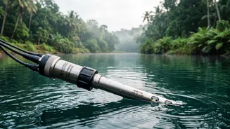
Kerala’s model is unique for its inclusion of citizen-led data collection. After the devastating floods of 2018 highlighted gaps in official data, community-led initiatives emerged. In the Chalakudy and Periyar river basins, students, farmers, and local groups now use low-cost rain gauges and tide calendars to collect real-time hydrological data. This information, once locked away in technical reports, is now openly shared, helping communities map flood risks and work with local governments on disaster preparedness. Similarly, the state is launching 'NeophyteID,' an AI-powered mobile app that allows citizens to identify and map invasive plant species, turning thousands of residents into active participants in biodiversity monitoring.
Challenges on the Horizon
The path is not without obstacles. Integrating data from different government departments, which often work in silos, remains a significant challenge. Outdated maps and a lack of standardised data can sometimes hinder effective decision-making at the local level. Furthermore, there is an ongoing political and social negotiation about where to draw the line for ESAs, balancing ecological preservation with the livelihoods of people living in and around these zones. Recent government proposals, based on more detailed studies, have sought to reduce the total ESA area by excluding inhabited lands, demonstrating the dynamic and often contentious nature of applying this data on the ground.