




An Unblinking Eye in Geostationary Orbit
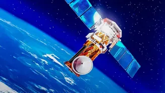
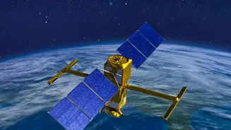
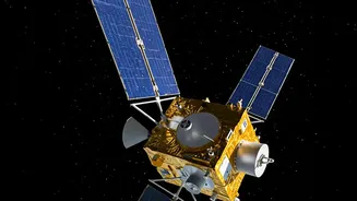
Most Earth observation satellites operate in Low Earth Orbit (LEO), circling the planet and capturing images of a specific location for only a few minutes each day. GISAT-1A, also known as EOS-05, is different. It will be placed in a geostationary orbit
nearly 36,000 kilometres above the Earth. At this altitude, its orbital speed matches the Earth's rotation, allowing it to remain seemingly stationary over the Indian subcontinent. This unique perch transforms it from a satellite that merely passes over into one that constantly watches. Instead of brief glimpses, GISAT-1A will provide near real-time imagery, capable of imaging the entire Indian landmass every half-hour and focusing on specific areas of interest every five minutes. This mission is ISRO's second attempt at this capability after the original GISAT-1 (EOS-03) was lost during a launch failure in August 2021.
A Game-Changer for Disaster Management
For a country frequently exposed to natural calamities like cyclones, floods, and forest fires, the ability to monitor developing situations in real-time is invaluable. Continuous imaging allows for the constant tracking of weather systems, such as cyclones forming over the ocean, giving authorities crucial lead time to issue warnings and plan evacuations. During floods, the satellite can provide frequent updates on the extent of inundation, helping relief agencies identify the worst-affected areas and direct resources where they are needed most. This quick, comprehensive view can significantly shorten response times, map damage to critical infrastructure like roads and bridges, and ultimately save lives by transforming reactive measures into proactive strategies.
Enhancing National and Border Security
While primarily a civilian satellite, the strategic implications of GISAT-1A are significant. A persistent eye over the region offers a powerful tool for national security. The ability to frequently monitor large areas along India's extensive land borders and coastlines provides a vital layer of surveillance. This capability can aid in detecting unauthorised movements, monitoring infrastructure development in sensitive areas, and providing the armed forces with critical intelligence for operational planning. Unlike satellites that pass over intermittently, GISAT-1A's constant presence makes it much harder for activities on the ground to go unnoticed, providing a strategic advantage in maintaining regional stability and safeguarding national interests.
A Boost for Agriculture and Infrastructure
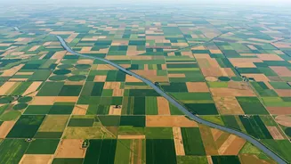
Beyond security and disasters, continuous imaging offers widespread benefits for India's economic backbone. The satellite's multi-spectral cameras can provide rich data for agricultural monitoring. This includes assessing crop health over large areas, monitoring soil moisture, and predicting yields, which can help in agricultural planning and ensuring food security. Furthermore, this technology can be used to monitor the progress of large-scale infrastructure projects, track deforestation and environmental changes, and manage water resources more effectively. By providing a steady stream of data on the country's natural and man-made assets, GISAT-1A will become a critical tool for sustainable development and resource management.