



A Groundbreaking Lunar Voyage
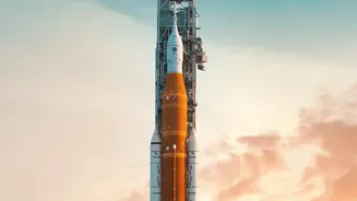
The successful ten-day flight of Artemis II, which sent astronauts Reid Wiseman, Victor Glover, Christina Koch, and Jeremy Hansen on a journey around the far side of the Moon, has been hailed as a monumental achievement for NASA. While the primary goal
was to test the Orion spacecraft's life-support systems and flight capabilities with a human crew, the mission also had a robust scientific agenda. By safely returning the first astronauts to venture beyond low-Earth orbit since the Apollo era, the mission has proven the hardware needed for a new generation of lunar exploration. Now, as the crew undergoes post-flight debriefings, scientists are eagerly diving into the data they brought back, particularly the unprecedented collection of imagery that will shape the future of the Artemis program and our understanding of Earth's closest celestial neighbour.
More Than Just Pretty Pictures
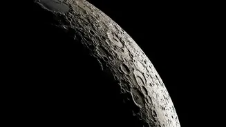
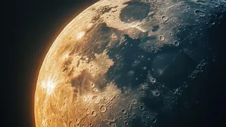
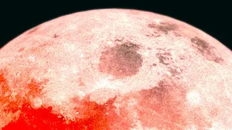
The images captured during the Artemis II flyby are far more than cosmic postcards. Taken with Orion's advanced camera systems, these photographs are data-rich resources intended for rigorous scientific analysis. Unlike robotic probes, which follow pre-programmed instructions, the Artemis II crew was able to use their own judgment to capture targets of opportunity. This 'human-in-the-loop' approach allowed for dynamic observations, with astronauts focusing cameras on geological features that appeared particularly interesting from their unique vantage point. The imagery provides detailed information on lunar topography, composition, and the harsh lighting conditions astronauts will face. Scientists are analysing these pictures to create highly detailed 3D maps of the lunar surface, which are essential for planning safe and effective future missions.
Scouting for a New Home
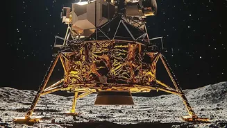
A primary application for this new visual catalogue is the selection of a landing site for Artemis III, the mission slated to land the first woman and first person of colour on the Moon. The Artemis program is focused on the lunar South Pole, a region believed to hold significant deposits of water ice in its permanently shadowed craters. Water is a critical resource for future long-term settlement, as it can be converted into breathable air and rocket fuel. The Artemis II images offer the most detailed recent survey of this challenging terrain, helping mission planners identify locations that are not only scientifically promising but also safe for landing and exploration. The crew captured extensive imagery of potential sites, charting areas of continuous sunlight for solar power while mapping the treacherous shadows that could conceal hazards.
Unlocking Ancient Geologic Secrets
Beyond mission planning, the imagery offers a fresh perspective on the Moon's geology. The free-return trajectory of the Artemis II mission provided views of both the familiar near side and the enigmatic far side of the Moon from angles not seen during the Apollo missions. These new perspectives are helping geologists refine their understanding of the Moon's violent history. By studying the structure of ancient craters, the flow of ancient lava across the vast lunar maria, and the distribution of materials kicked up by eons of meteorite impacts, scientists hope to piece together a more complete picture of how the Moon formed and evolved. The crew's direct observations supplement the images, adding qualitative notes that a machine cannot. These initial findings are already challenging some long-held assumptions and sparking new avenues of lunar research that will keep scientists busy for years to come.