





A New Generation of Earth Watchers
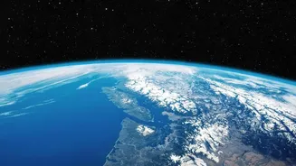
For decades, satellites have provided a bird's-eye view of our planet, but recent advancements are taking this to a new level. The key difference lies in the technology. While older optical satellites are essentially powerful cameras that can be blocked
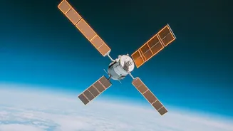
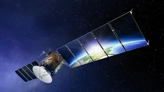
by clouds, new missions increasingly use Synthetic Aperture Radar (SAR). SAR satellites actively send microwave signals to the Earth's surface and interpret the echoes that bounce back. This allows them to “see” through clouds, smoke, and the dark of night, providing a consistent and reliable stream of data regardless of weather or time of day. A prime example of this new era is the NASA-ISRO Synthetic Aperture Radar (NISAR) mission, a landmark collaboration between the American and Indian space agencies. NISAR is uniquely equipped with two different radar frequencies (L-band and S-band), which allows it to capture an unprecedented level of detail about changes on the Earth's surface, from deep soil moisture to the structure of crops.
Revolutionising the Farm
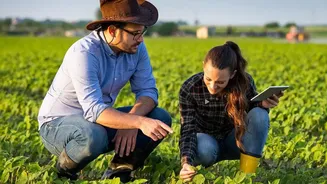
For India's agricultural sector, which employs a vast portion of the population, this new data is a game-changer. One of the most significant applications is in water management. NISAR can generate soil moisture maps with a high resolution of 100 metres, allowing for precise irrigation. Instead of watering an entire field uniformly, farmers can identify exactly which parts are dry and need attention, conserving precious water resources. This technology also enables better crop health monitoring. By analysing the radar signals, experts can assess crop growth, estimate biomass, and even detect stress from disease or pests before it's visible to the naked eye. This leads to more efficient use of fertilisers and pesticides, reducing costs for farmers and minimising environmental impact. Programmes led by ISRO, such as FASAL, are already using satellite data to forecast agricultural output, and the addition of high-resolution, all-weather radar data will make these predictions even more accurate.
A Clearer View of Climate Risks
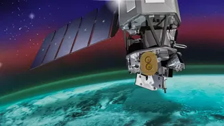
Beyond the farm, this new wave of satellite data provides critical insights for monitoring and mitigating the effects of climate change. In the Himalayas, the data can be used to track the melting of glaciers and the stability of snowpacks, which are vital sources of water for India's major rivers. The ability of radar to detect minute changes in ground level is also invaluable for disaster management. Satellites can assess ground subsidence, identify areas at risk of landslides, and map the extent of flooding during and after extreme weather events like monsoons and cyclones, enabling a faster and more targeted response. Recently launched satellites by the European Space Agency, such as Sentinel-3C and FLEX, are also dedicated to monitoring climate variables, including ocean temperatures, land use, and even the health of vegetation by measuring its faint fluorescence during photosynthesis. This global effort provides a comprehensive toolkit for understanding our changing planet.
From Data to On-the-Ground Decisions
The sheer volume of information generated by missions like NISAR, which is expected to produce about 80 terabytes of data daily, presents both an opportunity and a challenge. The key is turning this raw data into actionable intelligence for farmers, policymakers, and disaster response teams. This is where government initiatives and private innovation come in. ISRO plans to make the data from its soil moisture products widely accessible through portals like Bhoonidhi. This allows government agencies, researchers, and agritech startups to build tools and applications that translate complex satellite readings into simple, practical advice. For example, a mobile app could notify a farmer that a specific patch of their land needs watering or that conditions are ripe for a pest outbreak. Integrating this data into decision support systems is crucial for it to have a real-world impact at the grassroots level.