



The Challenge with Seeing Clearly from Space
Satellites observing Earth are our eyes in the sky, collecting vital data on everything from cloud cover to ice melt. This information fuels the climate models and weather forecasts we rely on. However, there's a persistent challenge: not all satellite
sensors see the world in exactly the same way. Over time, the harsh environment of space can cause a sensor's performance to degrade, creating tiny drifts in its measurements. Individually, these changes are small, but when combined across dozens or hundreds of satellites, they can create uncertainty in our long-term understanding of climate change. It’s like trying to measure a growing child with a tape measure that stretches a little more each year; eventually, you’re not sure how much of the change is real and how much is the tool.
What is CLARREO Pathfinder?
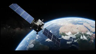
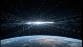
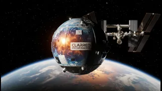
Enter NASA's CLARREO Pathfinder, a mission designed to solve this very problem. Scheduled to be installed on the International Space Station (ISS), it isn't just another camera pointing at Earth. CLARREO Pathfinder is essentially a highly stable, ultra-precise 'climate tuning fork' in orbit. Its main job isn't to provide wall-to-wall images but to take exceptionally accurate measurements of reflected sunlight, known as 'benchmark' measurements. These measurements will be five to ten times more accurate than those from most existing sensors. By being so precise and regularly calibrating itself against a known source—the Sun—it can serve as an unwavering reference point in space.
Benchmark vs. Ordinary Observations
So what makes a 'benchmark' measurement different from an 'ordinary' one? Think of it like cooking. An ordinary observation is like using a regular set of kitchen measuring cups. They get the job done, but there might be slight variations between different sets. A benchmark measurement, on the other hand, is like using a set of cups that have been scientifically calibrated to an international standard, accurate to the milliliter. Ordinary satellite observations from instruments like the Visible Infrared Imaging Radiometer Suite (VIIRS) and the Clouds and the Earth's Radiant Energy System (CERES) are the workhorses of daily weather and climate monitoring. The benchmark measurements from CLARREO Pathfinder are not meant to replace them, but to make them better. By flying over the same spot at nearly the same time, CLARREO can provide a reference measurement to help scientists identify and correct any drift in the ordinary sensors.
A Reference Standard for All
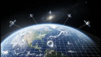
The true power of CLARREO Pathfinder is its ability to perform what scientists call 'inter-calibration'. As it orbits on the ISS, its path will cross under other satellites. During these moments, both Pathfinder and the other satellite will measure the same patch of Earth. By comparing Pathfinder’s benchmark reading with the other satellite's ordinary one, scientists can fine-tune the data from the entire constellation of Earth-observing satellites, ensuring they are all harmonized to the same, highly accurate standard. This process not only improves the data from current missions but also provides a way to better connect past and future satellite records, giving us a more reliable and consistent long-term view of our planet's climate.
How You Can Compare the Data
While directly running a complex data comparison requires a scientific background, the spirit of the headline—empowering readers—is about understanding the concept and knowing where to look. For the interested layperson, the comparison is less about crunching the numbers and more about exploring the data that this process makes more reliable. First, understand the sources. Data from missions like VIIRS and CERES, which Pathfinder will calibrate, is publicly available. NASA makes a vast amount of its information accessible through portals like NASA Earthdata and data.nasa.gov. These sites provide everything from raw data to user-friendly visualizers that let you explore climate variables. The CLARREO Pathfinder data itself will also be made publicly available through NASA's Atmospheric Science Data Center. Second, appreciate the difference. When you look at a climate data visualization—say, a map of sea surface temperature anomalies—the confidence in that data is what CLARREO enhances. Instead of trying to find two separate datasets to manually compare, the real-world application for a reader is to engage with any NASA climate data with the knowledge that this new layer of calibration is making the science more robust and trustworthy.