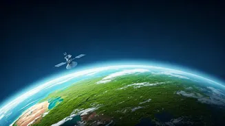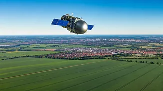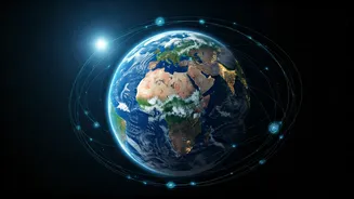


The Big Picture from Orbit
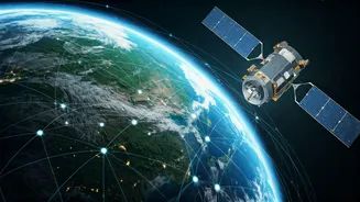
At its core, Earth observation via satellite is like taking a planetary-scale health check-up. These sophisticated machines are equipped with sensors that can see far beyond the visible spectrum of light. They measure everything from the temperature of the ocean
surface to the chemical composition of the air, the density of a forest canopy, and the moisture in the soil. By capturing this data repeatedly over the same locations, scientists can track changes over days, seasons, and decades, building an unprecedented picture of our dynamic world. Organisations like the Indian Space Research Organisation (ISRO) have developed a world-class fleet, including the Cartosat and RISAT series, dedicated specifically to this task.
Tracking a Changing Climate
One of the most critical roles for satellites is monitoring the symptoms of climate change. They provide undeniable evidence of melting glaciers in the Himalayas and shrinking polar ice caps by comparing images taken years apart. They measure the slow but steady rise in global sea levels with incredible precision, helping coastal communities in states like Kerala and West Bengal prepare for future challenges. Satellites also track greenhouse gases like carbon dioxide and methane in the atmosphere, pinpointing major sources of emissions and helping verify whether climate policies are having a real-world impact. This global-scale data is indispensable for international climate negotiations and for holding nations accountable.
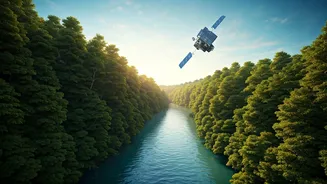
A Guardian for Forests and Wildlife
On the ground, it's nearly impossible to monitor vast, remote wilderness areas. From space, it’s a different story. Satellites help conservationists track deforestation in near real-time, allowing authorities to quickly respond to illegal logging in sensitive areas like the Western Ghats. The data can differentiate between types of vegetation, showing where forests are healthy and where they are stressed by drought or disease. This technology also indirectly aids wildlife conservation. By mapping habitats, corridors, and changes in land use, researchers can better understand the pressures on animal populations, from tigers in Central India to elephants in the south, and design more effective protection strategies.
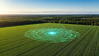
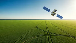
Revolutionising Indian Agriculture
For a country where agriculture is the backbone of the economy, satellite technology is a game-changer. ISRO’s Earth observation data is used to forecast crop yields with remarkable accuracy, giving the government crucial information for food security planning and price stabilisation. By analysing soil moisture and vegetation health, satellites help create advisories for farmers on when to irrigate, where to apply fertiliser, and how to detect pest attacks early. This field of 'precision agriculture' helps farmers save resources, increase their output, and become more resilient to an unpredictable climate. Furthermore, satellites are essential for monitoring droughts, mapping flood-affected areas, and assessing damage after natural disasters, enabling faster and more targeted relief efforts.
Monitoring the Health of Our Cities
The benefits of satellite data extend right into our bustling urban centres. As cities grow, they often create 'urban heat islands'—areas that are significantly warmer than their rural surroundings. Satellites can map these hotspots with precision, helping city planners identify where more green spaces and cooling initiatives are needed. Crucially, they also monitor air quality. Satellites track pollutants like particulate matter (PM2.5) and nitrogen dioxide, providing a clear picture of pollution levels across entire metropolitan regions. This data helps identify pollution sources and track the effectiveness of measures taken to clean up the air we breathe, from traffic restrictions to industrial regulations.