

A New Eye on Earth
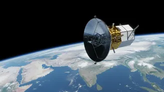
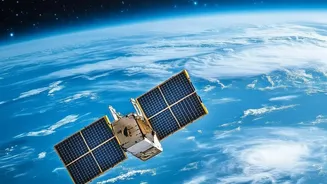
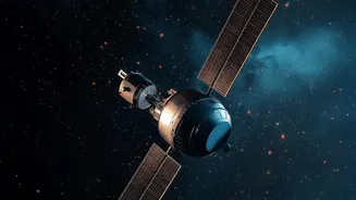
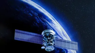
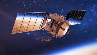
Launched in July 2025, NISAR is the result of a powerful partnership between the Indian Space Research Organisation (ISRO) and the United States' National Aeronautics and Space Administration (NASA). It is the world's most expensive Earth-imaging satellite,
designed to observe our planet's complex processes in incredible detail. Using advanced dual-frequency radar, NISAR can see through clouds and darkness, mapping Earth's land and ice surfaces every 12 days. This constant monitoring allows scientists to detect changes as small as a centimetre, offering a revolutionary tool for understanding everything from earthquakes to ecosystem shifts.
A Deluge of High-Definition Data
The sheer volume of information NISAR produces is staggering. The satellite transmits terabytes of high-resolution data daily, creating a continuous, high-definition movie of Earth's changing surface. Crucially, in line with NASA's long-standing open data policy, all of this scientific data is made freely available to the public. Provisional data from the L-band radar (provided by NASA) and S-band radar (from ISRO) has been accessible since early and mid-2026, respectively. Anyone with an internet connection can download information to study forest biomass, land subsidence, or glacial melt. This open-access policy democratises Earth observation, but it also presents a new challenge.
Seeing Climate Change in Action
NISAR's data provides critical insights for a world grappling with climate change. For India, its applications are particularly vital. Scientists can now monitor Himalayan glaciers, which are crucial for water security, with unparalleled accuracy. The S-band radar is being used to create soil moisture maps for the Indo-Gangetic plains, aiding agricultural planning, and to track groundwater subsidence in major cities. Globally, the mission is tracking the dynamics of ice sheets in Antarctica, deforestation in the Amazon, and the impacts of volcanic activity. It gives us the ability to see not just the consequences of climate change, but the processes as they happen, from the risk of floods to the health of our forests.
The Human Bottleneck in the Data Pipeline
Having a firehose of data is one thing; being able to drink from it is another. The flood of information from NISAR and other modern satellites has created a human bottleneck. Raw data, no matter how detailed, is not the same as actionable insight. It requires skilled professionals—data scientists, analysts, and researchers—to clean, process, interpret, and visualise this information. Reports indicate a growing gap between the demand for professionals with these hybrid climate and data skills and the available talent pool in India and globally. The data is here, but without a trained workforce, its immense potential to guide policy, improve disaster response, and create sustainable solutions remains locked away.
Building a Climate-Ready Workforce
NISAR's data release is therefore not just a scientific event; it is a call to action for education and training. Recognising this need, several Indian universities and organisations have begun launching new programmes. Initiatives like postgraduate diplomas in Data Science for Climate and Health are emerging to equip professionals with the necessary skills. These courses focus on teaching students how to handle large environmental datasets, apply analytical techniques, and communicate their findings effectively. By investing in these training pipelines, we can build a generation of 'data translators' capable of turning NISAR's radar echoes into meaningful strategies for climate resilience, sustainable agriculture, and national development.