



What is SAR Data, Anyway?
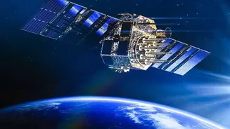
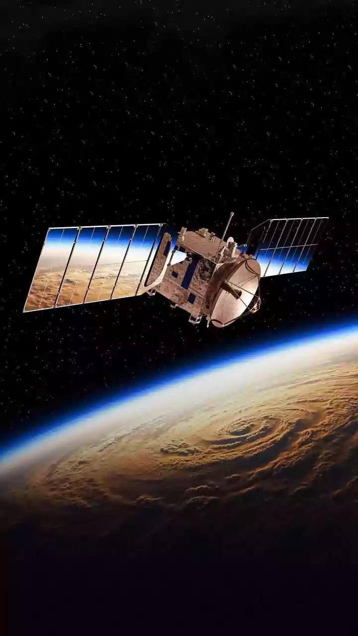
Think of a regular camera on a satellite. It's great, but it needs sunlight and clear skies to work. Synthetic Aperture Radar (SAR) is different. It's an active remote sensing technology, meaning it doesn't wait for sunlight. Instead, it sends its own
microwave pulses down to Earth and records the 'echoes' that bounce back. By processing these echoes, it creates highly detailed, high-resolution images of the planet's surface. This makes SAR a powerful tool, like giving a satellite the ability to see anytime, anywhere.
The All-Weather, Day-and-Night Advantage
The single biggest advantage of SAR is its ability to operate regardless of weather or time of day. Since it uses microwaves, it can effectively 'see' through clouds, smoke, fog, and darkness. This is a game-changer for a country like India, which experiences heavy monsoon seasons. While optical satellites are blinded by cloud cover, SAR satellites like India's own RISAT (Radar Imaging Satellite) series continue to provide crucial data. This constant monitoring capability is vital for applications that require uninterrupted observation, such as disaster management and national security.
Real-World Impact in India
SAR technology isn't just a scientific curiosity; it has major real-world applications in India. In disaster management, it is used to map flood-affected areas with precision, even during a cyclone, and monitor landslides. For agriculture, it helps in assessing soil moisture levels and monitoring crop health, which is crucial for food security. It's also used for urban planning, monitoring deforestation, and keeping an eye on our vast coastlines and borders. With the upcoming NASA-ISRO SAR (NISAR) mission, which will map the entire globe every 12 days, the volume and importance of this data are set to explode.
ISRO's Training Gateway
Recognising the growing need for skilled professionals, ISRO, through its premier training centre, the Indian Institute of Remote Sensing (IIRS) in Dehradun, regularly offers a variety of training programs. These include free online courses and more intensive academic programs on remote sensing, GIS, and specifically, SAR data processing and its applications. These courses are designed for a wide audience, from undergraduate and postgraduate students to researchers and government officials. The programs often cover the basics of SAR technology, data processing techniques, and hands-on sessions using open-source software, providing a direct learning path for aspiring students.
From Classroom to a Booming Career
Learning SAR data analysis opens up a vibrant and expanding career path. In India, the demand for data analysts is booming across sectors like IT, finance, e-commerce, and healthcare. Specialised skills in geospatial data take this to another level. A professional trained in SAR data analysis can find opportunities in government organisations like ISRO itself, the National Disaster Management Authority, and various environmental agencies. The private sector is also a major employer, with companies in agriculture technology, infrastructure monitoring, and risk management actively seeking these skills. As India's reliance on data for decision-making grows, the ability to interpret complex datasets like SAR is becoming an invaluable and highly sought-after expertise, promising excellent job security and career growth.