


An Alien World on Earth
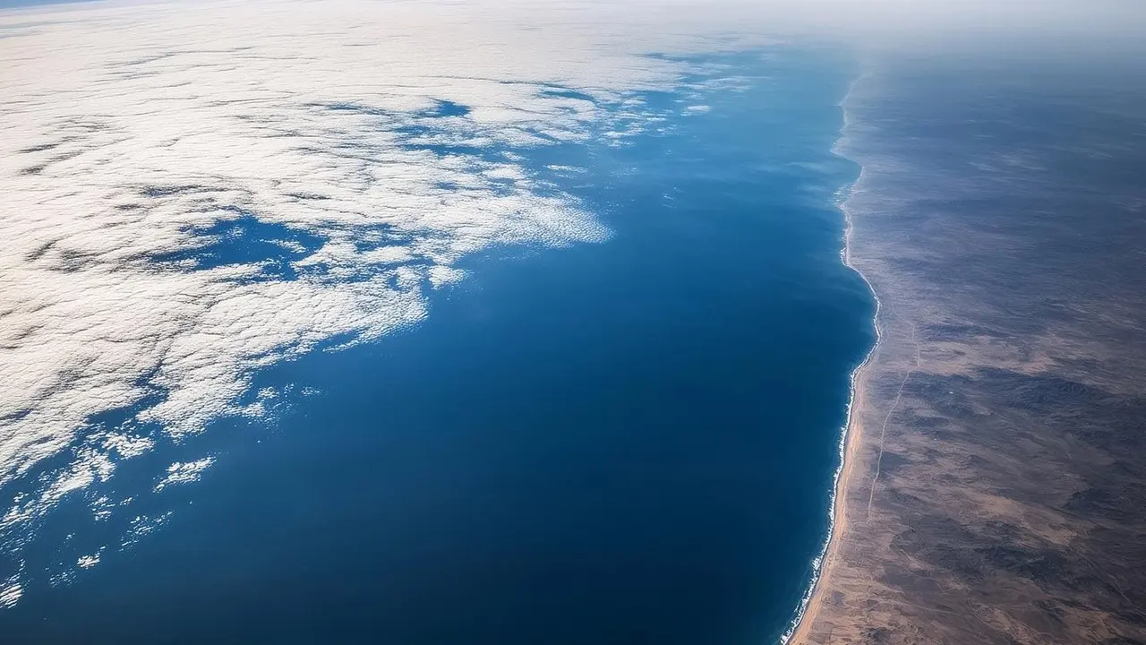
The deep ocean, beginning just 200 metres below the surface, is a realm of crushing pressure, near-total darkness, and freezing temperatures. It is the largest single habitat on Earth, but its extreme conditions make it incredibly challenging to study.
Despite the difficulty, understanding this vast environment is critical. The deep sea acts as a massive buffer against climate change, absorbing about 90% of the excess heat and a significant portion of the carbon dioxide that humans have released into the atmosphere. Tracking what happens to this heat and carbon is essential for building accurate climate models and predicting future changes to our planet.
Robots in the Abyss: ROVs and AUVs
To 'see' and sample the depths, scientists rely on sophisticated underwater robots. Remotely Operated Vehicles, or ROVs, are tethered to a ship on the surface. This connection provides power and allows pilots to control the robot in real-time, using its cameras and robotic arms to observe and collect samples of rocks, water, or marine life with great precision. Autonomous Underwater Vehicles (AUVs), on the other hand, are untethered and pre-programmed for their missions. These torpedo-shaped robots glide through the water on their own, often for days at a time, mapping vast areas of the seafloor with sonar or measuring water properties like temperature and salinity. AUVs are used for broad surveys, while ROVs are often deployed for detailed follow-up investigations.
A Global Fleet of Drifting Sensors
Perhaps one of the most revolutionary tools in modern oceanography is the Argo program, an international effort involving thousands of free-drifting robotic floats. A standard Argo float descends to a depth of 1,000 metres, drifts with the current for about ten days, then dives to 2,000 metres before rising back to the surface. During its ascent, it measures temperature and salinity, creating a detailed profile of the upper ocean. Once at the surface, it transmits its data to a satellite before starting the cycle again. Newer 'Deep Argo' floats can go even further, down to 6,000 metres, to track how heat is penetrating the abyss. This global network provides a continuous, real-time pulse of the ocean's health.
Reading History in Layers of Mud
The seafloor itself holds a library of climate history. Over millions of years, sediment, dust, and the remains of tiny marine organisms settle on the ocean bottom, forming distinct layers. Scientists use research vessels to drill and extract long cylinders of this mud, known as sediment cores. By analysing the chemical composition and the types of microscopic fossils found in different layers, researchers can reconstruct past ocean temperatures, carbon cycles, and even wind patterns. These cores provide invaluable, long-term context for the climate changes we are witnessing today, showing how Earth's systems have responded to warming and cooling in the distant past.
The View From High Above
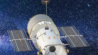
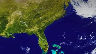
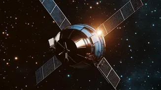
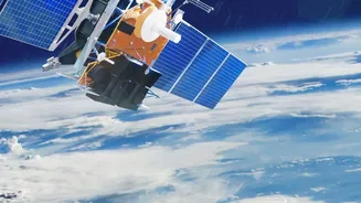
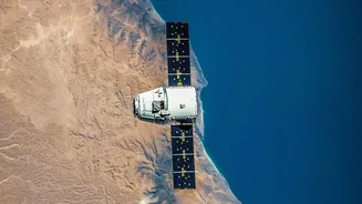
It may seem counterintuitive, but one of the best ways to study the deep ocean is from space. Satellites can't see through the water, but they can measure subtle changes on the surface that reveal what's happening below. Radar altimeters, for example, measure sea surface height with incredible precision. These measurements can detect broad bumps and dips on the ocean surface that are caused by the gravitational pull of underwater mountains and trenches, allowing for large-scale mapping of the seafloor. Satellites also track sea surface temperature and colour, which can reveal major current systems, upwelling of cold deep water, and the health of marine ecosystems that are linked to the deep ocean's carbon cycle.