



Eyes in the Sky
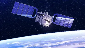
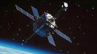
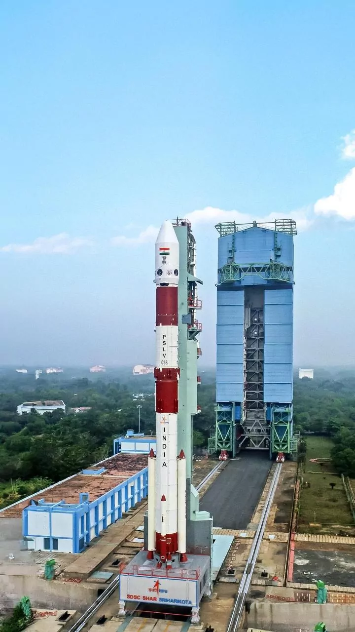
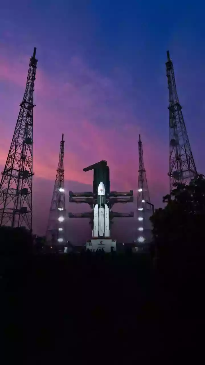
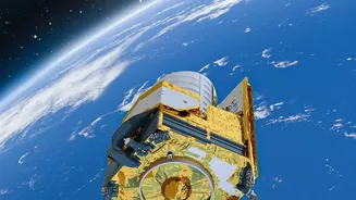
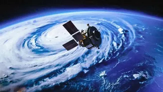
At the heart of this technology are Earth observation satellites, operated by agencies like the Indian Space Research Organisation (ISRO) and international bodies like NASA and the European Space Agency. These satellites are equipped with advanced sensors
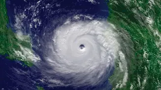
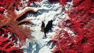
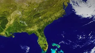
that can see far more than the human eye. Some use optical cameras, much like a powerful digital camera, to capture high-resolution images of the land below. Others use radar, which can penetrate clouds and see in the dark, making them incredibly reliable for monitoring during monsoons or at night. By analysing different wavelengths of light, including infrared, scientists can determine everything from the moisture in the soil to the amount of sediment in a river. This data is then processed and made available through platforms like ISRO's Bhuvan portal, turning complex imagery into actionable insights for governments and scientists.
Monitoring Our Liquid Lifelines
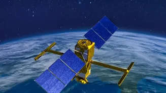
India's rivers are dynamic, constantly changing their course and volume. Satellites provide a unique vantage point to monitor these changes over vast areas, something impossible to do with ground-based methods alone. By comparing images taken over months or years, scientists can map the shifting banks of rivers like the Brahmaputra, identifying areas at risk of erosion or flooding. Satellites can also measure the width and height of rivers, allowing hydrologists to estimate water flow and volume, which is critical for managing dams and forecasting floods. Missions like the NASA-led SWOT (Surface Water and Ocean Topography) are now providing unprecedented detail on water levels, helping to track flood waves as they move downstream. This information is vital for disaster management, helping authorities to issue timely warnings and protect communities.
Guarding a Vulnerable Coastline
With a coastline stretching over 7,500 kilometres, India is highly vulnerable to erosion and the impacts of sea-level rise. Satellite monitoring has become an indispensable tool for protecting these coastal zones. India’s National Centre for Coastal Research (NCCR) uses multi-spectral satellite images to track shoreline changes systematically. Their analysis has revealed that about 34% of India's coastline is experiencing some degree of erosion. By delineating the high tide line from satellite data captured over decades, researchers can pinpoint exactly where the land is being lost to the sea and where it is accreting. This data is crucial for planning and implementing coastal protection measures, such as seawalls and mangrove plantation drives, and for regulating development in vulnerable areas to ensure the safety of coastal communities.
A New Green Revolution from Above
Agriculture, the backbone of the Indian economy, is being transformed by satellite intelligence. Programmes like ISRO's FASAL use satellite data to provide pre-harvest production estimates for major crops like rice, wheat, and cotton. Using metrics like the Normalised Difference Vegetation Index (NDVI), which acts as a 'health check' for plants, analysts can assess crop conditions across millions of hectares. This helps in forecasting yields, managing droughts, and planning procurement. The technology also supports the Pradhan Mantri Fasal Bima Yojana (PMFBY) by providing accurate data for crop insurance claims. For individual farmers, platforms are emerging that use satellite imagery to provide farm-specific advice on irrigation and fertiliser use, helping to boost yields and save resources, essentially bringing precision agriculture to even small farms.