




The View from Above
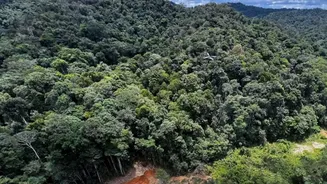
Imagine trying to patrol millions of hectares of dense forest on foot. It’s an impossible task. Satellites provide a comprehensive vantage point that ground surveys alone cannot achieve. By capturing frequent and consistent images of vast, often inaccessible
regions, these 'eyes in the sky' allow for continuous monitoring. The basic principle is change detection: by comparing images of the same area taken at different times, analysts can pinpoint exactly where forest cover has been lost or degraded. This provides objective, large-scale data that is crucial for understanding the scope of deforestation.
How the Technology Works
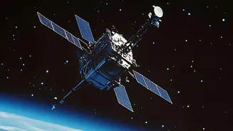
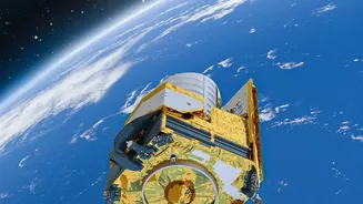
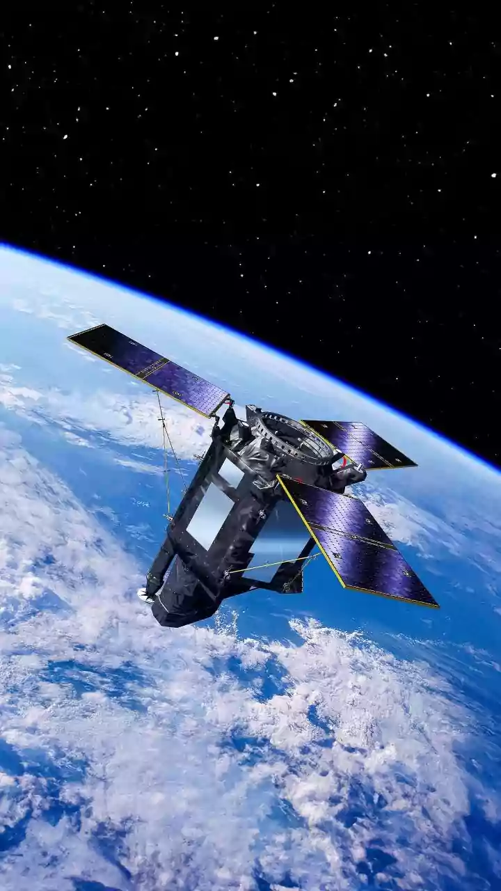
Several types of satellite technology are used to monitor forests. Optical sensors, like those on the Landsat and Sentinel satellites, capture images in visible and infrared light, much like a powerful camera. They can help assess vegetation health, canopy density, and photosynthetic activity. However, they have a major limitation: they can't see through clouds, which is a significant problem in tropical regions. This is where radar technology comes in. Synthetic Aperture Radar (SAR) can penetrate cloud cover and even capture data at night, providing uninterrupted monitoring. The upcoming NASA-ISRO Synthetic Aperture Radar (NISAR) mission, a joint project between the US and Indian space agencies, is set to be one of the most sophisticated forest-monitoring instruments ever, scanning nearly every part of India every 12 days.
India's Eyes on its Forests
In India, space technology is a cornerstone of forest management. The Indian Space Research Organisation (ISRO) and its National Remote Sensing Centre (NRSC) work closely with the Forest Survey of India (FSI). The FSI uses remote sensing data for its biennial State of Forest Report, a comprehensive assessment of the country’s green cover. Furthermore, India employs a near real-time monitoring system. ISRO uses data from satellites to detect forest fires, processing the information and sending alerts to state forest departments to enable quick responses on the ground. These systems are increasingly sophisticated, using artificial intelligence to filter out false alarms from sources like industrial areas.
The Power of Early Warnings
Perhaps the most significant advantage of satellite monitoring is its ability to provide early warnings. Platforms like Global Forest Watch (GFW), an open-access online tool, provide near real-time alerts about suspected tree cover loss. This transforms forest protection from a reactive to a proactive process. Instead of discovering large-scale clearing months after the fact, authorities can be alerted to the construction of a new logging road or a small, illegal clearing as it happens, allowing them to intervene before the damage escalates. This rapid detection is crucial for stopping illegal activities and holding entities accountable.
AI and the Future of Monitoring
The sheer volume of data generated by satellites is immense. This is where Artificial Intelligence (AI) and machine learning are game-changers. AI algorithms can analyse vast quantities of satellite imagery far faster and more accurately than a human ever could, detecting subtle changes and patterns indicative of deforestation. AI can help distinguish between natural changes, like seasonal leaf fall, and human-induced deforestation. Some advanced systems can even predict where deforestation is likely to occur by analysing risk factors like road expansion and population density, offering a chance to prevent it altogether.
Challenges on the Horizon
Despite its power, the technology is not a silver bullet. A key challenge is the gap between data detection and on-the-ground action. Even with near real-time alerts, institutional response can be slow, allowing fires to spread or logging to continue. Distinguishing between legal and illegal logging based on an image alone is also difficult without additional information on land concessions. Furthermore, while satellites can spot a clear-cut area, detecting more subtle 'forest degradation'—like the thinning of a canopy from selective logging—is more complex and requires higher resolution data and more advanced analysis. Ultimately, the data is only as good as the will and capacity to act on it.