


Beyond Ground-Level Guesses
For decades, flood prediction in India has relied on a network of ground-based river gauges and meteorological models. While vital, these methods have limitations. Gauges only measure water levels at specific points, offering little information about
the vast areas in between. Weather models can predict heavy rainfall, but forecasting precisely where and how extensively flooding will occur is a far greater challenge. This is especially true during the intense, widespread downpours of the monsoon, when rivers can swell and breach their banks with astonishing speed. The devastating Kerala floods of 2018, which impacted one-sixth of the state's population, serve as a stark reminder of how quickly disaster can strike, overwhelming traditional response mechanisms.
An Unblinking Eye in the Sky
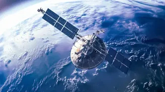
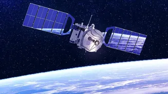
This is where Earth Observation (EO) satellites are becoming a game-changer. Orbiting hundreds of kilometers above, these satellites provide a comprehensive view of entire regions, capturing data that is impossible to gather from the ground. There are two primary types of satellite imagery proving crucial for flood management. Optical satellites, like a powerful camera in space, take detailed pictures of the Earth's surface. However, their effectiveness is limited by cloud cover—a major problem during monsoons. This is why Synthetic Aperture Radar (SAR) satellites are so revolutionary. SAR acts like a form of radar, actively sending microwave signals to the Earth and reading the echoes that bounce back. These signals can slice through clouds, darkness, and dense vegetation, providing an uninterrupted, all-weather view of the landscape below.
The Power of Radar and Collaboration
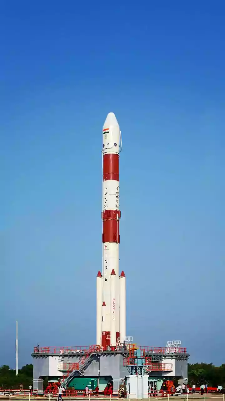
The recently launched NASA-ISRO Synthetic Aperture Radar (NISAR) mission is a prime example of this technology in action. A joint effort between the American and Indian space agencies, NISAR is designed to monitor changes on the Earth’s surface with unprecedented detail. It scans nearly the entire planet every 12 days, allowing scientists and disaster managers to track changes with incredible frequency. During a flood, SAR data is invaluable. Water surfaces reflect radar signals away from the satellite, making them appear dark in the resulting images. In contrast, land, buildings, and vegetation scatter the signal back, appearing brighter. This sharp contrast allows analysts to quickly and accurately map the full extent of an inundated area, even revealing floodwaters hidden beneath a forest canopy.
From Raw Data to Life-Saving Alerts
Collecting the data is only the first step. The real magic happens when this firehose of information is processed on the ground. Indian institutions like ISRO's National Remote Sensing Centre (NRSC) are at the forefront of this effort. They use sophisticated algorithms and artificial intelligence (AI) to analyse incoming satellite imagery, often combining it with elevation models and rainfall data. This fusion of data allows them to move beyond simple 2D flood maps. For instance, ISRO has developed a tool called FlDepth that can estimate the depth of floodwater from satellite images, providing crucial information for rescue teams and relief operations. This processed information is then transformed into actionable intelligence and relayed to disaster management agencies, who can issue timely and targeted evacuation warnings.
The Future of Flood Resilience
The road ahead involves making these systems even faster and more accessible. The combination of more frequent satellite passes and ever-smarter AI promises near-real-time flood monitoring. The goal is to create systems that can automatically detect rising water levels and predict a flood's path, giving communities precious extra hours or even days to prepare. However, challenges remain. Processing vast quantities of satellite data requires immense computing power. More importantly, the most advanced warning system is useless if it doesn't reach the most vulnerable people on the ground. Ensuring this life-saving information bridges the 'last mile' to remote and disconnected communities remains a critical hurdle for authorities to overcome.