




Peering Through Murky Waters
For marine archaeologists, exploring the seabed has traditionally been a slow and painstaking process, heavily reliant on divers working in often difficult and low-visibility conditions. While explorations off the Tamil Nadu coast have occurred since
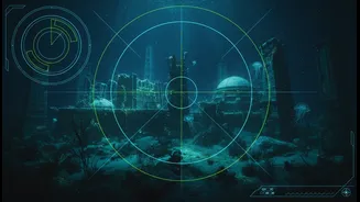
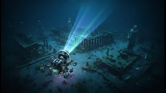
the 1980s and 90s, revealing structures at various depths, the sheer scale of the ocean has kept a comprehensive picture just out of reach. The challenge is immense: to survey vast areas of the ocean floor, identify anomalies that could be man-made, and do so with precision. This is where modern technology, specifically advanced sonar, is creating a paradigm shift in underwater discovery. It offers a way to 'see' the seafloor with unprecedented clarity and speed, transforming how researchers approach these submerged historical sites.
The Power of Sound Beams
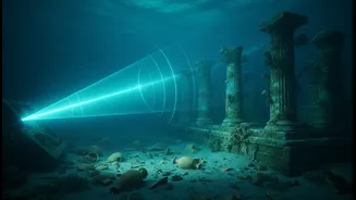
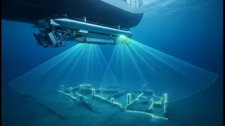
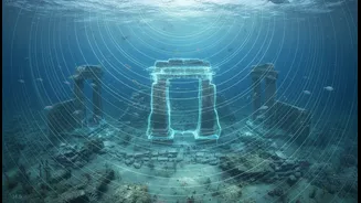
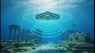
The key technology driving this new age of discovery is the Multibeam Echosounder (MBES). Unlike older single-beam sonars that record one depth point at a time, an MBES mounted on a research vessel sends out a wide, fan-shaped swath of sound pulses. As these sound waves bounce off the seabed and return to the receiver, the system measures the travel time for hundreds of points simultaneously. This process allows scientists to create a dense, high-resolution, three-dimensional map of the ocean floor topography. Alongside MBES, researchers use tools like the side-scan sonar, which provides detailed images of what lies on the seabed, and sub-bottom profilers that can reveal structures buried beneath sediment. Together, these instruments give a complete digital overview of the underwater landscape.
Mapping Poompuhar's Secrets
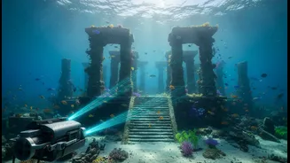
Recent efforts, particularly around the legendary port city of Poompuhar, demonstrate the power of this technology. Research vessels from the National Institute of Ocean Technology (NIOT), such as Sagar Tara and Sagar Anveshika, have been systematically surveying the region. The data collected has identified significant underwater features spread over a large area, including what appear to be man-made structures like walls, a potential harbour, and dockyards at depths ranging from 25 to 100 metres. One study suggested a harbour structure sprawling over 11 kilometres. The Tamil Nadu State Department of Archaeology (TNSDA), in collaboration with institutions like the Indian Maritime University, is also conducting surveys, using this technology to re-examine sites and analyse anomalies to determine if they are natural formations or remnants of the ancient port city mentioned in Sangam literature.
From Data to Discovery
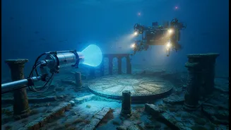
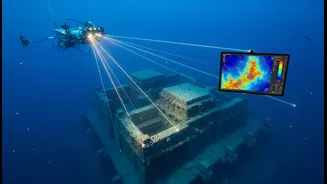
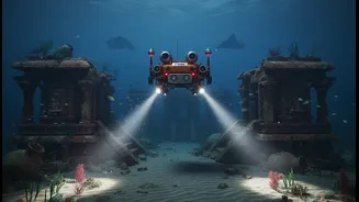
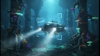
The sonar doesn't just find objects; it accelerates the entire archaeological process. Mapping thousands of square kilometres of the seabed, a task that would be impossible for divers, can now be done relatively quickly. The high-resolution data allows researchers to identify promising targets before deploying more expensive and time-consuming resources, like Remotely Operated Vehicles (ROVs). These ROVs, equipped with cameras and other sensors, can then be sent down for a closer look at specific anomalies flagged by the sonar survey. This two-step process—broad mapping with sonar followed by targeted visual inspection—is far more efficient. It allows archaeological teams to focus their efforts on the most likely locations of interest, dramatically speeding up the timeline from initial survey to potential confirmation of a submerged historical site.
A New Chapter for Indian History
The application of advanced sonar is doing more than just mapping ruins; it's pushing back the timeline of India's maritime history. While the Sangam-era port of Poompuhar was thought to be around 2,500 years old, analysis of the submerged geological features has led some researchers to propose that the area could have been inhabited as far back as 15,000 years ago, when sea levels were much lower. While these older dates are still under investigation and require physical samples for confirmation, the sonar data provides compelling evidence of a long history of human activity along the Tamil Nadu coast. By providing a clear and comprehensive map of what lies beneath the sea, sonar technology is not just accelerating a search but is foundational to rewriting the earliest chapters of the region's rich civilisational story.