






The Ocean's Usual Routine
To understand the change, we first need to know what's normal. Typically, strong trade winds blow from east to west across the vast expanse of the tropical Pacific. These winds push the warm surface water towards Asia and Australia, piling it up near
Indonesia. As the warm water moves west, cool water from the deep ocean rises to the surface in the east, near South America. This temperature difference creates a large atmospheric circulation loop called the Walker Circulation, named after Sir Gilbert Walker who discovered it while studying the Indian monsoon. The warm, moist air rises in the west (near Indonesia), travels east high in the atmosphere, cools and sinks in the east, and then flows back west along the surface as trade winds, completing the cycle.
When the Pacific Heats Up
Now, imagine this well-oiled machine sputtering. This is what happens during an El Niño event. For reasons that are still the subject of intense scientific study, the trade winds over the Pacific weaken or even reverse. Without the strong push, the massive pool of warm water that was piled up in the western Pacific starts to slosh back eastward, towards the central and eastern Pacific. This leads to a significant warming of the sea surface temperatures in a vast area of the Pacific Ocean. This phenomenon, recurring every two to seven years, is known as El Niño, the warm phase of the El Niño-Southern Oscillation (ENSO).
A Global Atmospheric Ripple Effect
This shift in ocean heat is so massive that it fundamentally alters the atmospheric circulation. The rising warm, moist air that was once over the western Pacific now moves east with the warm water. This effectively disrupts and weakens the entire Walker Circulation. The area of rising air, which causes clouds and rain, shifts away from its usual position near Indonesia and moves over the central or eastern Pacific. Consequently, the area over the western Pacific and parts of the Indian Ocean, including near India, experiences higher atmospheric pressure and sinking air, which suppresses cloud formation and rainfall.
The Direct Hit on India's Monsoon
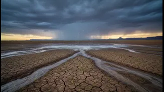
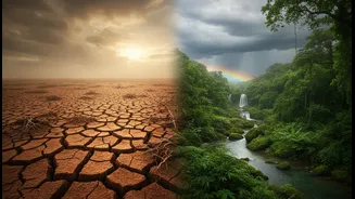
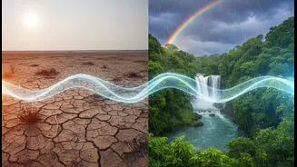
This atmospheric disruption is what connects the Pacific's temperature to India's fields and rivers. The Indian monsoon is a massive sea-breeze system driven by the temperature difference between the heating Indian subcontinent and the cooler Indian Ocean. But the changes from El Niño interfere with this. The altered pressure patterns and the weakening of the Walker Circulation can lead to a suppression of the monsoon winds that carry moisture from the ocean to the subcontinent. Historically, this has meant that El Niño years are often associated with below-average rainfall and, in some cases, severe droughts in India. While not every El Niño causes a drought, almost all of India's major droughts have occurred during El Niño years.
The Wild Card: A Factor Closer to Home
However, El Niño isn't the only player in the game. The Indian Ocean has its own climate pattern, the Indian Ocean Dipole (IOD), which can sometimes come to the monsoon's rescue. The IOD is a measure of the temperature difference between the western Indian Ocean (Arabian Sea) and the eastern Indian Ocean. During a 'positive' IOD, the western Indian Ocean becomes warmer than the east, which helps to increase moisture flow towards India and can boost monsoon rainfall. A strong positive IOD can sometimes counteract the negative effects of an El Niño, as seen in 1997 when a powerful positive IOD helped India avoid a severe drought despite a very strong El Niño. This makes forecasting the monsoon a complex task of watching both the distant Pacific and our own oceanic backyard.