






The Pacific's Great Seesaw: El Niño and La Niña
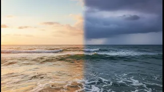
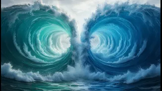
At the heart of this connection is a phenomenon called the El Niño-Southern Oscillation, or ENSO. Think of it as a massive, irregular seesaw of ocean temperatures and air pressure in the tropical Pacific. The cycle has three phases: El Niño, La Niña,
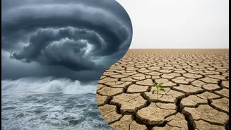
and Neutral. El Niño, Spanish for 'the little boy', happens when the surface waters in the central and eastern Pacific Ocean become unusually warm. This warming doesn't stay put; it releases vast amounts of heat into the atmosphere, disrupting normal weather patterns globally. La Niña, 'the little girl', is its opposite. It's a cooling phase, where those same ocean surface temperatures drop below average. These cycles occur irregularly, typically every two to seven years, and each phase can last for about 9 to 12 months.
How the Pacific 'Talks' to India
But how can warm water off the coast of South America affect rainfall in Maharashtra? The answer lies in the atmosphere. The ocean and atmosphere are constantly talking to each other. A change in ocean temperature affects the air pressure above it, which in turn directs the winds. During a normal year, strong trade winds blow from east to west across the Pacific, piling up warm water in the west near Asia. During an El Niño event, these trade winds weaken or even reverse. This change disrupts a major atmospheric circulation pattern known as the Walker Circulation, which affects weather systems worldwide, including the Indian monsoon. Essentially, the atmospheric chain reaction started by El Niño can weaken the winds that carry moisture to India.
The Monsoon Connection
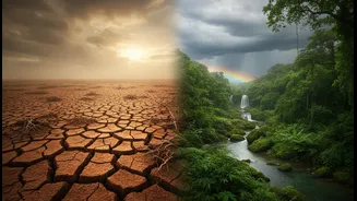
For India, the phase of ENSO often has a direct, and critical, impact. Historically, El Niño years have a strong correlation with weaker monsoon rainfall and even droughts. About half of all El Niño years have resulted in drought conditions in India. The weakened monsoon circulation means less moisture is transported from the ocean to the subcontinent, leading to reduced rainfall. Conversely, La Niña events are generally good news for the monsoon. The cooling of the Pacific tends to strengthen the circulation patterns that favour a strong monsoon, often leading to above-average rainfall across India. However, this relationship is not a perfect one-to-one guarantee; some El Niño years have seen normal or even excess rain.
The Other Player: The Indian Ocean Dipole
To make matters more complex, the Pacific isn't the only ocean with a say. The Indian Ocean has its own version of a temperature seesaw, called the Indian Ocean Dipole (IOD). The IOD has positive, negative, and neutral phases. A 'positive' IOD, with warmer waters in the western Indian Ocean near Africa and cooler waters in the east near Indonesia, can actually boost the Indian monsoon. Sometimes, a positive IOD can counteract the negative effects of an El Niño, saving the monsoon from complete failure. Understanding the interplay between ENSO in the Pacific and the IOD in our own backyard is crucial for accurate monsoon forecasting.
An Uncertain Future
Climate change is adding a new layer of complexity to these long-standing patterns. As global temperatures rise, oceans are warming, which can alter the behaviour and intensity of both ENSO and the IOD. Some climate experts believe that the link between El Niño and the Indian monsoon has been weakening or changing in recent decades. Climate change may be making weather systems more intense and volatile. For instance, even in a year with a weak monsoon overall, we might see short bursts of extremely heavy, destructive rainfall. This new reality means that preparing for water scarcity and managing sudden floods are becoming equally important challenges for India.