


Optical Satellites: A Camera in the Sky
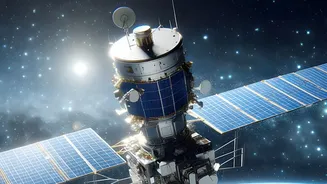
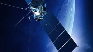
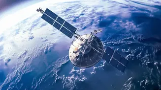
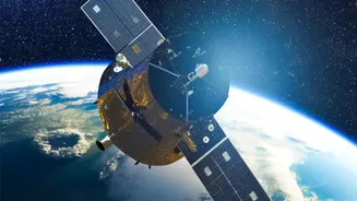
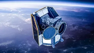
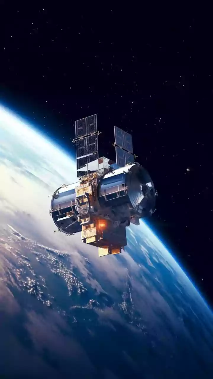
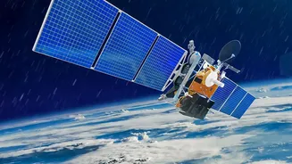
Think of an optical satellite as a very powerful camera orbiting our planet. These satellites are passive sensors, meaning they rely on an external source of light—the sun—to capture images. They record reflected sunlight across various parts of the spectrum,
including visible light that our eyes can see, as well as near-infrared bands. This is why their images are often photorealistic, intuitive, and easy for the human eye to interpret. We can clearly see cities, roads, forests, and rivers in vibrant detail. Because of their high resolution and visual clarity, they are excellent for urban planning, monitoring crop health, and mapping land use during clear, sunny days. However, this reliance on sunlight is also their biggest weakness. Optical satellites are effectively blind at night and cannot see through clouds, heavy smoke, or dust, which poses a significant challenge in tropical regions or during emergencies like floods and forest fires.
Key Differences at a Glance
The core difference lies in how they 'see'. Optical satellites capture reflected sunlight, giving us a visual, photo-like representation of the Earth's surface. Radar (SAR) satellites send out their own microwave signals and interpret the echo, providing data on physical properties like texture and moisture. This leads to key operational distinctions. Optical imaging is dependent on daylight and clear skies, while radar works anytime, in any weather. An optical image is easy for anyone to understand, showing a field as green or a river as blue. A radar image requires more expertise to interpret but can reveal if that green field is actually waterlogged or if the ground beneath a building is slowly sinking.
Applications for India: From Monsoons to Mountains
In a country like India, with its diverse geography and weather patterns, both technologies are crucial. During the monsoon season, when persistent cloud cover can render optical imagery useless for days, radar satellites like ISRO's RISAT series are indispensable. They can map the extent of flooding in states like Assam and Bihar in near real-time, allowing disaster management agencies to direct rescue efforts effectively. For agriculture, optical satellites help in assessing crop health across vast plains, but SAR data can provide vital information on soil moisture, which is critical for yield prediction. In national security and infrastructure monitoring, SAR's ability to detect minute changes in the ground—known as interferometry—can identify subsidence under railway tracks or monitor activity in strategic locations, regardless of weather or time of day.
Better Together: The Power of Fusion
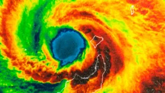
While it was once a case of choosing one or the other, the modern approach is to combine, or fuse, the data from both optical and radar satellites. This synergy provides a far more comprehensive understanding than either could alone. For example, an optical image might show a forest, but combining it with SAR data can help estimate the biomass and health of the trees beneath the canopy. In disaster management, an optical image can show the visible damage after a cyclone has passed, while SAR data, captured during the storm, can show the extent of the initial flooding. By layering these different data sets, analysts can overcome the limitations of each technology to get a complete, actionable picture, from tracking volcanic ash clouds to ensuring urban development is sustainable.