



A Tectonic Collision Course
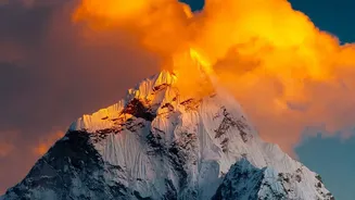
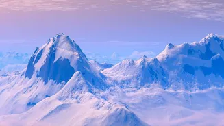
The primary reason for Nepal's vulnerability lies deep beneath the earth's surface. The country sits directly on the collision zone between two massive tectonic plates: the Indian plate and the Eurasian plate. For the last 50 million years, the Indian plate has
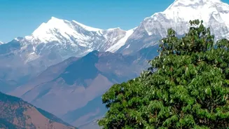
been pushing relentlessly northwards into the Eurasian plate at a rate of about five centimetres per year. This slow-motion continental crash is what created the Himalayan mountain range. However, this process also builds up enormous geological stress. When this stress is suddenly released along fault lines, the ground shakes violently, resulting in powerful earthquakes. The devastating 7.8 magnitude Gorkha earthquake in 2015 was a stark reminder of this immense power, which not only claimed thousands of lives but literally reshaped the landscape.
A Landscape Built to Slide
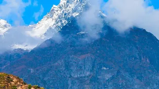
The same tectonic forces that cause earthquakes have created a landscape that is inherently unstable. Nepal's terrain features some of the steepest slopes in the world, dropping from the highest Himalayan peaks to the flat Terai plains in a very short distance. This young, fragile geology means that the mountainsides are prone to collapse. Earthquakes often act as a trigger, shaking loose rock and soil and causing catastrophic landslides and avalanches. But the annual monsoon is an equally powerful force. From June to September, Nepal receives about 80% of its annual rainfall. This intense precipitation saturates the steep hillsides, making them heavy and unstable, leading to frequent and deadly landslides that can bury entire villages.
Rivers of Life and Destruction
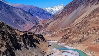
Nepal is crisscrossed by more than 6,000 rivers and streams, most flowing from north to south. These waterways are vital for life and agriculture, but during the monsoon, they transform into destructive torrents. The combination of steep valleys and intense rainfall means that flash floods can occur with terrifying speed, giving communities little time to react. These events are often made worse by landslides, which can temporarily dam a river. When the natural dam bursts, it releases a sudden, powerful surge of water, mud, and debris downstream, a phenomenon known as a cascading hazard. The southern Terai plains, while flatter, are highly exposed to river flooding as these powerful Himalayan rivers swell and break their banks.
The Climate Change Amplifier
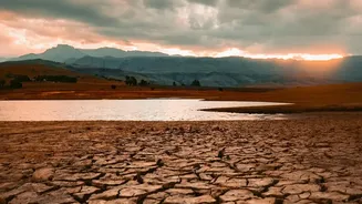
Adding another dangerous layer to this geographical mix is climate change. Nepal is one of the world's most vulnerable countries to its effects. Rising global temperatures are causing Himalayan glaciers to melt at an accelerated rate, creating large, unstable glacial lakes. A breach in one of these lakes can cause a Glacial Lake Outburst Flood (GLOF), a sudden and massive release of water with devastating consequences downstream. Climate change is also making monsoon patterns more erratic and extreme. Longer droughts can be followed by more intense bursts of rainfall, increasing the risk of both flash floods and landslides as the dry, hard ground cannot absorb the sudden deluge.
The Human Factor in the Trap
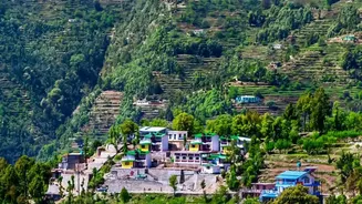
Natural forces alone don't complete the picture. Human activity often turns these hazards into full-blown disasters. Rapid and often unplanned urbanisation, particularly in the Kathmandu Valley, has led to construction on floodplains and unstable slopes. Deforestation weakens the ability of hillsides to absorb water, increasing runoff and landslide risk. The haphazard construction of roads and other infrastructure, without proper geological consideration, can further destabilise fragile terrain. This combination of a naturally hazardous environment and growing human vulnerability is what truly creates the 'disaster trap,' where communities are repeatedly exposed to risks that are compounded by both geography and development patterns.