





More Than a Slow Crawl
For decades, the concept of seafloor spreading—the process where tectonic plates pull apart and new oceanic crust is born from rising magma—was something geologists understood more through inference than direct observation. The process was thought to be
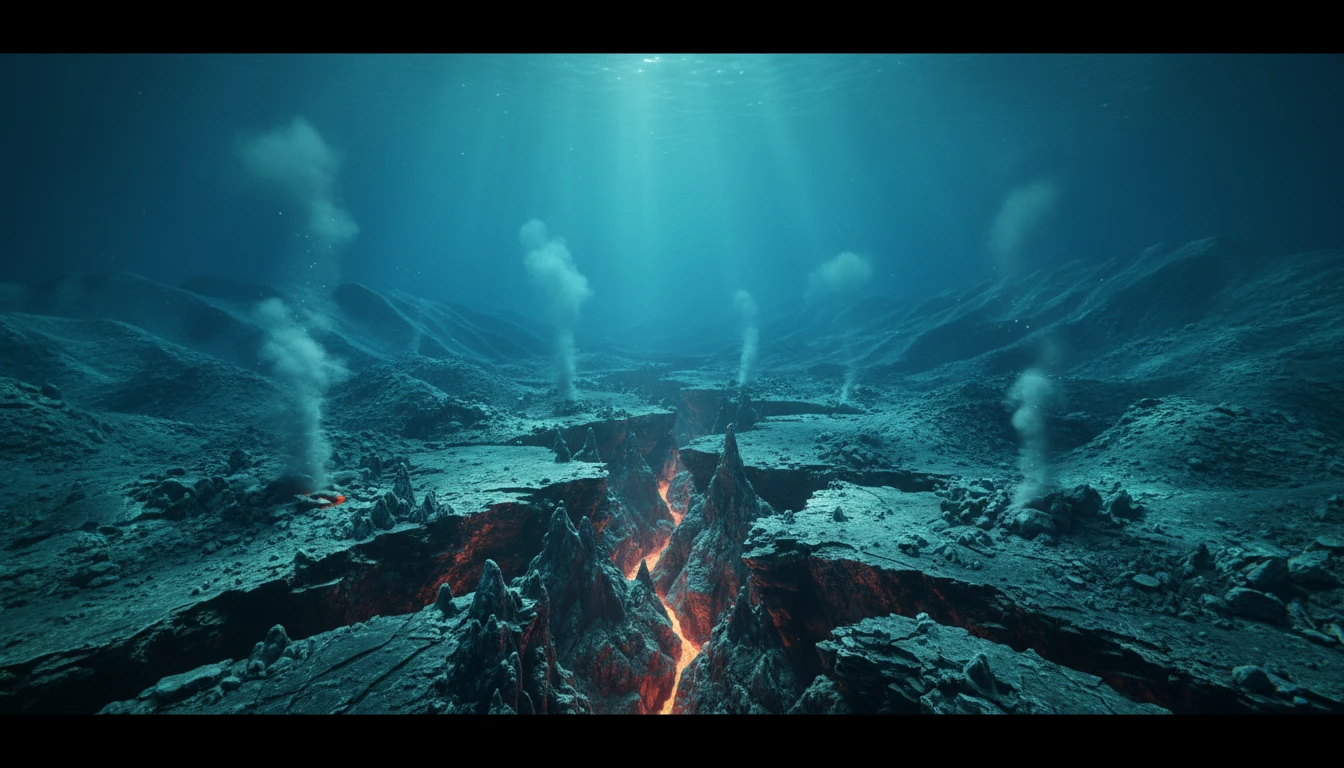
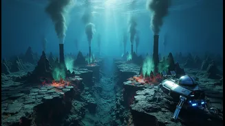
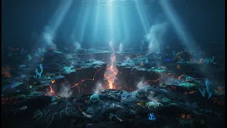
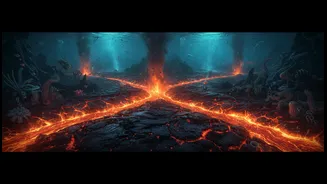
a slow, steady crawl happening over immense timescales. But stunning new evidence from the Indian Ocean has turned this idea on its head. In an event described as a geological 'holy grail', scientists for the first time captured a seafloor spreading event happening in real-time. Along the Southeast Indian Ridge, instruments recorded the seabed splitting apart by more than two metres in just a few days, an amount of movement that would normally take decades. This proves that the Earth's crust often grows in sudden, violent lurches rather than a steady creep.
A Plate Boundary is Born
The drama isn't just happening at existing ridges. In another part of the Indian Ocean, near the Wharton Basin, scientists believe they are witnessing the birth of an entirely new plate boundary. The massive Indo-Australian plate, long considered a single unit, is actively breaking in two. This theory gained significant traction after two of the largest intraplate earthquakes ever recorded struck the region in 2012. These were not typical quakes at a plate edge, but powerful strike-slip events happening in the middle of the plate, indicating immense internal stress. Using seismic data and high-resolution seafloor maps, researchers have identified a complex new fault system, a scar over 1,000 kilometres long, where the plate is fracturing. While the full separation will take millions of years, this nascent boundary is already a site of significant geological activity.
Listening to the Deep Earth
Capturing these events required incredible timing and advanced technology. An international team had deployed an array of sophisticated instruments, including underwater microphones (hydrophones), seafloor beacons, and pressure sensors, just two months before a major spreading event began in April 2024. These tools allowed them to record a swarm of earthquakes racing along the ridge and measure the subsequent sinking of the valley floor by several metres. By comparing bathymetric maps from before and after the event, they identified enormous new lava flows, some over 90 metres thick, and estimated that up to 160 million cubic metres of lava erupted to form new planetary crust. This direct observation provides an unprecedented anatomical view of how the Earth's surface is constructed.
Smarter Observatories for a Restless Planet
This detailed, real-time data is invaluable for designing the next generation of ocean observatories. Understanding that geological changes can happen in rapid, forceful bursts rather than slow, predictable movements changes how and where we should monitor the seafloor. Future observatories will need to be more robust and strategically placed to capture these dynamic events. The research highlights the need for networks of sensors—including acoustic telescopes, sonar systems, and high-resolution cameras—that can provide continuous, real-time data from the most active and inaccessible parts of our oceans. This allows scientists to move from reactive expeditions to persistent monitoring, ready to catch events as they unfold.
Improving Hazard Research for India
For a country like India with a vast coastline on the Indian Ocean, this research is more than academic. The 2004 tsunami, which originated from a massive earthquake in this region, serves as a stark reminder of the area's geological volatility. Understanding that the seafloor can move horizontally in these strike-slip ruptures, and not just vertically, is changing how scientists model tsunami potential. Detailed mapping of these new and reactivated fault systems, like the one splitting the Indo-Australian plate, provides a clearer picture of where future large earthquakes could occur. While predicting the exact timing of an earthquake remains impossible, this knowledge allows for a much better assessment of regional risk, helping to refine early warning systems and protect coastal communities.