








A Landmark India-US Collaboration
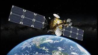
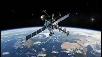
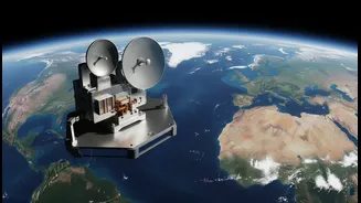
The NISAR mission represents one of the most significant collaborations between the Indian Space Research Organisation (ISRO) and the National Aeronautics and Space Administration (NASA). This ambitious project combines the expertise of both agencies
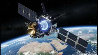
to create the world's first satellite to use two different radar frequencies to observe our planet. ISRO provided the S-band radar, the spacecraft itself, and the powerful GSLV launch vehicle, while NASA contributed the L-band radar and other advanced systems. This partnership not only showcases India's prowess in space technology but also strengthens international cooperation in tackling global challenges like climate change and disaster management. All data from the mission is freely and openly available, democratising access to critical environmental information for scientists, policymakers, and the public worldwide.
The Power of Two Frequencies
The true genius of the NISAR mission lies in its dual-frequency Synthetic Aperture Radar (SAR). Think of it as having two different types of vision. The L-band radar, with its longer wavelength (about 24 cm), can penetrate through things like forest canopies and even dry soil. This makes it invaluable for studying the structure of forests, measuring biomass, and detecting changes in the ground surface itself. The S-band radar has a shorter wavelength (about 9 cm) and is more sensitive to surface details. It excels at monitoring things like crop health, the extent of snow cover, and subtle shifts in the land. By combining the data from both, scientists can assemble a far more complete and detailed picture of Earth’s surface and its processes than any single-frequency radar could provide. This allows for continuous monitoring, day or night, and regardless of cloud cover.
A New Era for Disaster Management
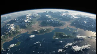
One of the most critical applications of NISAR is in the field of natural hazards. The satellite can detect tiny changes in the Earth’s surface—as small as a centimetre. This incredible sensitivity allows it to spot ground deformation that might signal an impending earthquake, volcanic eruption, or landslide. For a country like India, with its vast and varied topography, including the seismically active Himalayan region, this capability is a game-changer. By providing early warnings, NISAR can help authorities take pre-emptive action, potentially saving countless lives and minimising damage. In the aftermath of a disaster, the satellite can quickly produce damage maps, guiding first responders to the areas most in need of assistance.
Revolutionising Agriculture and Resource Management
For India's vast agricultural sector, NISAR is like a super-powered advisor in the sky. The satellite's ability to measure soil moisture across wide areas can lead to smarter farming practices, optimising irrigation and improving crop yields. It can track crop growth and health, giving farmers and policymakers vital information for ensuring food security. Beyond the fields, the mission is crucial for managing India's precious natural resources. It can monitor the health of forests, track the alarming rate at which Himalayan glaciers are melting, and observe changes in wetlands and coastal regions. This comprehensive data is essential for sustainable development and creating effective policies to protect our environment for future generations.