





What Exactly is a Foundation Model?
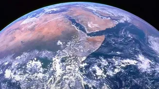
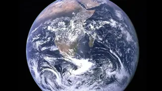
Think of a foundation model as a highly educated trainee. Instead of being programmed for one specific job, it's trained on a colossal amount of broad data—in this case, decades of NASA's satellite imagery of Earth. This gives the AI, named Prithvi (from
the Sanskrit word for Earth), a deep, foundational understanding of the planet's systems. This initial, intensive training means it doesn't have to start from scratch for every new problem. Once the base knowledge is there, scientists can quickly adapt, or 'fine-tune', the model for very specific tasks with much less data and effort.
From Raw Data to Real-World Insight
For years, scientists have been swimming in a sea of data. NASA's satellites collect petabytes of information, but turning those pixels into actionable insights has been a monumental challenge. The Prithvi family of models, a collaboration between NASA and IBM, changes the game. By learning the intricate patterns of our planet from over a decade of harmonised satellite data, the AI can identify and predict complex events. This includes everything from mapping the extent of floodwaters after a storm to identifying the burn scars left by wildfires, often before the data even reaches the ground. Recently, a version of Prithvi became the first geospatial foundation model to be deployed and run on satellites in orbit, a major leap in processing data directly in space.
A Major Leap for Climate Prediction
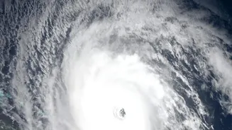
Traditional climate and weather models are incredibly complex, requiring massive supercomputers and significant time to run simulations. The new AI models offer a more agile and efficient approach. They can perform tasks like 'downscaling' global climate simulations to a regional level with far greater speed, providing insights relevant to local communities. For example, one version of the model, Prithvi-WxC, is focused specifically on weather and climate, trained on 40 years of NASA data to improve forecasts for severe weather, seasonal rainfall, and even urban heatwaves. This could lead to more accurate and timely warnings for cyclones, droughts, and other extreme events that put lives and livelihoods at risk.
The Open-Source Advantage for India
Crucially, NASA has made these powerful models open-source, available on platforms like Hugging Face. This means researchers, governments, and organisations across the globe—including in India—can access and adapt them for free. For a country like India, the potential applications are immense. Scientists at Indian research institutions could fine-tune the models to deliver more accurate monsoon predictions, critical for the nation's agriculture. State disaster management authorities could use them to better forecast and map flood-prone areas, enabling faster, more effective responses. The models could also be used to monitor the health of vital ecosystems, from Himalayan glaciers to coastal mangroves, providing data essential for conservation and policy-making.
Smarter Decisions, Not a Silver Bullet
While this technology is revolutionary, it's important to see it as a powerful tool, not a magic solution. The AI models are only as good as the data they are trained on and the expertise of the scientists who use them. Their true value lies in augmenting human decision-making, not replacing it. By providing faster, more accurate, and more localised environmental insights, NASA's AI gives policymakers and communities a clearer picture of the challenges ahead. The goal is to move from reacting to climate-driven events to proactively preparing for them, armed with better information.