








The Silent Threat of Space Junk
Space may seem vast and empty, but the orbits around Earth are increasingly cluttered with debris. This ‘space junk’ consists of everything from defunct satellites and spent rocket stages to tiny fragments from past collisions and anti-satellite tests.
There are an estimated 900,000 pieces of debris larger than 1 cm orbiting our planet. While small, they travel at incredible speeds, averaging 27,000 km/h in Low Earth Orbit (LEO). At that velocity, a collision with even a centimetre-sized object can be catastrophic, capable of destroying a multi-crore satellite and creating thousands of new pieces of debris, worsening the problem in a chain reaction.
India's Critical Eyes in the Sky
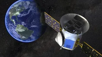
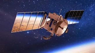
India operates one of the world's largest constellations of remote sensing satellites. These aren't just scientific instruments; they are critical national infrastructure. This fleet of Earth-observation (EO) spacecraft provides vital data for everything from weather forecasting and cyclone warnings to agricultural monitoring, urban planning, and national security. They help manage natural resources, track climate change impacts, and provide crucial imagery for defence purposes. With India’s space economy valued at USD 9 billion and projected to grow significantly, protecting these high-value assets is a paramount economic and strategic priority.
From Manual Scans to AI Precision
Until now, protecting these satellites has been a labour-intensive process. ISRO, like other space agencies, relies on data from ground-based tracking systems to generate alerts about potential close calls, known as conjunctions. In 2023 alone, ISRO received over 137,000 such alerts. Analysts at ISRO's System for Safe and Sustainable Space Operations Management (IS4OM) in Bengaluru would manually sift through this data to assess the risk. This process is time-consuming and challenging, given the sheer volume of data. The introduction of AI-powered systems marks a significant leap forward, automating the analysis of these massive datasets to identify true threats with greater speed and accuracy.
How the AI Shield Works
The new AI-based system acts as an intelligent filter and predictive tool. It leverages machine learning algorithms to analyse orbital data from multiple sources, calculating the probability of a collision with unprecedented speed. Instead of just flagging a potential close approach, the AI assesses the risk level, predicts the trajectory of both the satellite and the debris, and can recommend the optimal collision avoidance maneuver (CAM). These manoeuvres involve firing the satellite's thrusters to slightly alter its orbit, moving it safely out of the debris's path. By automating this process, the AI reduces the decision-making time from hours to minutes, a critical advantage when an object is hurtling towards a billion-rupee asset. This allows for more efficient use of satellite fuel and minimises disruption to the satellite's mission.
A New Era for Sustainable Space Operations
This technological advancement is more than just a defensive measure; it’s a proactive step towards sustainable space operations. The number of CAMs ISRO has to perform has been rising, with 23 conducted in 2023 and 20 in 2025. By improving the efficiency and accuracy of collision avoidance, ISRO not only safeguards its current fleet but also enhances the viability of future missions. This capability is crucial as India aims for 'Debris-Free Space Missions by 2030'. It positions India as a responsible space power, contributing to the safety and long-term usability of Earth's orbit for all nations. This home-grown expertise in space situational awareness is a key pillar in India’s ambition to become a global space leader.