




The Engine of the Monsoon
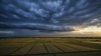
At its heart, the Indian monsoon is a gigantic sea breeze, powered by a temperature difference between the land and the ocean. During summer, the vast landmass of India and the Tibetan Plateau heats up much faster than the surrounding Indian Ocean. This
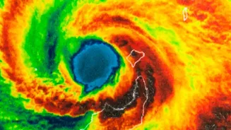
creates a low-pressure area over the land, while cooler, high-pressure air sits over the ocean. Nature abhors a vacuum, so moisture-laden winds from the ocean rush towards the land to fill this gap. This seasonal reversal of winds is the fundamental driver of the monsoon, bringing the subcontinent the bulk of its annual rainfall between June and September. A powerful, fast-moving airstream called the Somali Jet, which forms over the Arabian Sea, plays a crucial role by pulling this moist air from the ocean towards India, kickstarting the deluge.
Global Phenomena Pulling the Strings
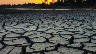
While the basic engine is consistent, the monsoon's performance varies each year, and much of that is dictated by phenomena happening thousands of kilometres away. The most famous of these is the El Niño-Southern Oscillation (ENSO) in the Pacific Ocean. An El Niño event, characterized by warmer-than-usual water in the central and eastern Pacific, typically weakens the monsoon winds, often leading to reduced rainfall and even drought conditions in India. Conversely, its counterpart, La Niña, which involves cooler Pacific waters, generally strengthens the monsoon and brings above-average rainfall. Another key player is the Indian Ocean Dipole (IOD), sometimes called the Indian Ocean's own El Niño. A 'positive' IOD phase means the western Indian Ocean is warmer than the east, which tends to enhance monsoon rainfall over India. A 'negative' phase does the opposite, suppressing the rains. The interplay between ENSO and the IOD often determines whether India faces a season of floods or scarcity.
The City’s Own Weather Machine
Cities don't just experience the weather; they actively create it. The 'Urban Heat Island' (UHI) effect is a major local factor influencing urban monsoons. Concrete, asphalt, and dense buildings absorb and retain far more heat than natural landscapes like forests and fields. This makes cities significantly warmer than their surrounding rural areas, especially at night. This pocket of warm air over a city can intensify rainfall. The hot air rises, forcing the moist monsoon air upwards, causing it to cool and condense into clouds, which can lead to short, intense downpours. Studies have shown that rainfall can increase downwind of major metropolitan areas, suggesting cities can wring more rain out of the passing monsoon clouds. In some cases, the disturbance caused by tall buildings can also alter wind flow, further enhancing rainfall.
A Complication of Pollutants
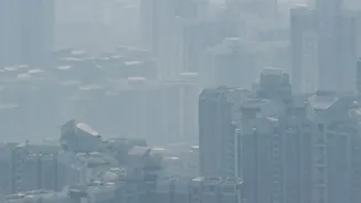
Urban air pollution adds another layer of complexity. The atmosphere over cities is filled with aerosols—tiny particles of dust, soot (black carbon), and chemicals from traffic and industry. These particles can have conflicting effects on rainfall. On one hand, they act as nuclei around which water vapour can condense to form cloud droplets. However, a high concentration of aerosols can lead to a larger number of smaller droplets, which are less likely to merge and fall as rain, potentially delaying or suppressing precipitation. On the other hand, absorbing aerosols like black carbon can heat the mid-atmosphere, which can alter air circulation and sometimes lead to heavier, more concentrated bursts of rain when it finally does fall. Research has linked high aerosol levels to more frequent and longer breaks in the monsoon, potentially increasing drought risk in polluted regions.