







The Monsoon's Fury on the Ground
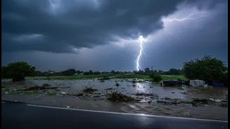
Across the country, the 2026 monsoon has been relentless. In recent days, states like Maharashtra, Gujarat, Goa, Karnataka, and parts of North and Northeast India have been experiencing heavy to extremely heavy rainfall. Cities and towns, particularly
along the Konkan coast, have seen significant waterlogging, and authorities have issued warnings for floods and landslides. The India Meteorological Department (IMD) has placed several regions on high alert, forecasting persistent, widespread rain as active monsoon conditions prevail over both the Arabian Sea and the Bay of Bengal. This surge in rainfall follows a dramatic turnaround after a drier-than-usual June, with the first week of July seeing significant excess rain across the nation.
ISRO's Eyes in the Sky
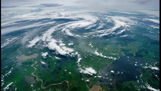
Providing critical insights into this weather onslaught are the Indian Space Research Organisation's (ISRO) geostationary satellites, primarily INSAT-3D and INSAT-3DR. Positioned high above the Earth, these satellites are equipped with advanced instruments called Imagers and Sounders. Unlike a simple camera, these instruments 'see' in multiple wavelengths—including visible light and infrared—to measure various atmospheric parameters. They continuously monitor cloud development, track their movement, and measure key properties that are invisible to the naked eye but are crucial for forecasting severe weather. This data is transmitted in near real-time, providing a constant stream of information to meteorologists on the ground.
How Satellites Decode the Downpour
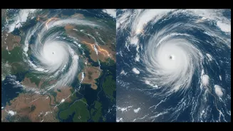
So, how does a satellite image translate into a rainfall warning? The key is in interpreting the infrared data, which measures temperature. When it comes to rain, colder is more significant. Satellites can measure the temperature of cloud tops; very cold cloud tops indicate that the cloud has grown vertically to a great height in the atmosphere. These towering, deep convective clouds are turbulent and packed with moisture, making them capable of producing intense, heavy rainfall. Satellite imagery from recent days has shown large clusters of these clouds with extremely cold tops over the Arabian Sea, feeding moisture directly into the western coast, and a similar powerful system in the Bay of Bengal affecting the eastern and northeastern states.
What the Satellites See Now
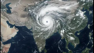
Recent imagery from ISRO's INSAT-3DR has captured sprawling cloud systems responsible for the current weather. One massive system is seen stretching from the Arabian Sea into the coasts of Gujarat and Maharashtra, driven by strong southwesterly monsoon winds. This is the engine behind the exceptionally heavy rainfall recorded in places like Mahabaleshwar and Lonavala. Simultaneously, another system over the Bay of Bengal is fueling the deluge in West Bengal, Sikkim, and the northeastern states. The satellites don't just see clouds; they help estimate the rate of rainfall using techniques like the Hydro-Estimator (HE), providing a quantitative measure of the downpour over vast, unmonitored areas like the sea.
From Data to Actionable Warnings
The data gathered by ISRO's satellites is the foundational input for the IMD's forecasts and warnings. This information is fed into sophisticated weather prediction models that simulate atmospheric conditions to forecast the weather in the coming hours and days. The ability to see the formation and intensification of weather systems in near real-time allows for 'nowcasting'—the forecasting of weather in the immediate short term. This is vital for issuing timely alerts about flash floods, thunderstorms, and other severe weather events. This critical information enables agencies like the National Disaster Management Authority (NDMA) to prepare and deploy response teams, helping to mitigate the impact on lives and property.