


A Forest That Breathes for the Planet
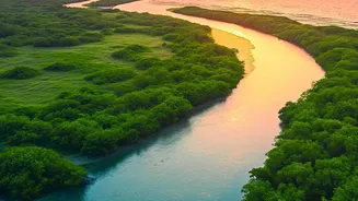
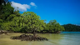
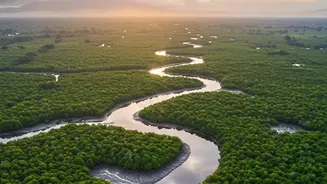
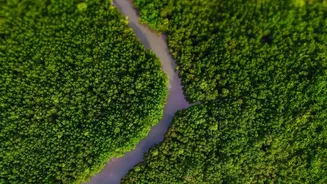
Stretching across India and Bangladesh, the Sundarbans is the world's largest mangrove forest, a UNESCO World Heritage Site, and a vital shield for millions of people against storms and tidal surges. But its importance goes far beyond physical protection.
This unique ecosystem is a powerhouse of 'blue carbon,' a term for the carbon stored in coastal and marine environments. Mangrove forests are exceptionally efficient at this, capturing and storing carbon at a rate up to four or five times higher than terrestrial forests. The carbon gets locked away in the trees and, most importantly, in the deep, waterlogged soil, where it can remain for centuries. However, this crucial ecosystem is under immense pressure from rising sea levels, increased salinity, and human activity, threatening to release vast amounts of stored carbon and diminish its protective capabilities.
The Old Challenge: Measuring an Unruly Forest
For decades, assessing the health of a forest and quantifying the carbon it holds was a painstaking, labour-intensive process. It involved sending teams of researchers into the field to manually measure trees in designated plots—a method known as forest inventory. They would measure trunk diameters and tree heights to estimate the biomass and, by extension, the carbon stored. While accurate for a small area, this method is incredibly difficult, expensive, and slow to scale, especially in a terrain as complex and inaccessible as the Sundarbans. Getting a comprehensive, real-time picture of the entire forest's health and its carbon-capturing performance was nearly impossible, creating a significant hurdle for effective, large-scale conservation planning.
A New Eye in the Sky
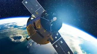
This is where precision satellite technology changes the game. Modern satellites, equipped with advanced sensors like LiDAR and multispectral imagers, can now do what ground crews cannot: see the entire forest in high resolution. These satellites don't just take a flat picture; they can measure the three-dimensional structure of the forest, including canopy height and density. By combining this data with machine learning algorithms, scientists can produce detailed maps that estimate the amount of aboveground biomass across vast areas. This process, known as carbon sequestration mapping, provides a dynamic and quantifiable assessment of how much carbon the forest is actively removing from the atmosphere. It allows for consistent monitoring, revealing where the forest is thriving and where it is degrading.
Precision, Proof, and Investment
The primary benefit of this technology is its ability to turn ecological health into verifiable data. This proof is the key to unlocking crucial funding for restoration. Conservation is expensive, and international climate funds, corporations seeking to offset their emissions, and philanthropic organisations want to see a return on their investment. Precision mapping provides exactly that. It can quantify the amount of carbon sequestered by a restored mangrove patch, which can then be sold as 'blue carbon credits' on the voluntary carbon market. This creates a direct financial incentive for restoration, making projects like India’s MISHTI scheme (Mangrove Initiative for Shoreline Habitats & Tangible Incomes) more attractive to investors. It transforms the Sundarbans from just an environmental treasure into a quantifiable, investable asset in the fight against climate change.
From Data to Action on the Ground
This high-tech data has very practical, on-the-ground applications. Satellite maps can pinpoint specific degraded zones that are prime candidates for reforestation, ensuring that resources are sent where they are most needed. By analysing the data over time, conservation groups and forest officials can monitor the success of their planting efforts, understanding which native species are thriving and how the restored areas are contributing to the overall carbon sink. This continuous feedback loop allows for adaptive management, making restoration efforts more efficient and effective. It ensures that the work being done—often by local communities whose livelihoods are intertwined with the forest's health—has a lasting and measurable impact, securing both the ecosystem and the people who depend on it.