




India’s Guardians in Orbit
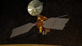
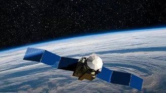
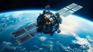
The Indian Space Research Organisation (ISRO) operates a sophisticated fleet of satellites that form the backbone of this technological revolution. The Indian National Satellite (INSAT) system, one of the largest in the Asia-Pacific region, provides multipurpose
support for meteorology, broadcasting, and communications. Working alongside them are the Indian Remote Sensing (IRS) satellites, including the Resourcesat and RISAT series, which are designed to observe and manage the nation's natural resources. Satellites like INSAT-3D and INSAT-3DR are dedicated to meteorology, equipped with advanced imagers and sounders that provide a constant stream of data about the Indian subcontinent. This network creates a comprehensive, real-time picture of our land and atmosphere.
Revolutionising the Farm
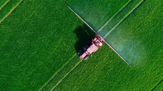
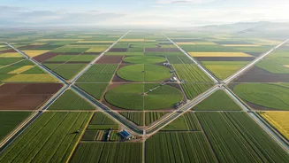
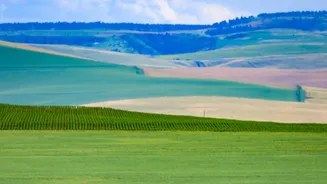
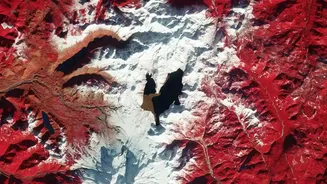
For the agricultural sector, which employs a vast portion of India's population, this data is transformative. Satellites help in ways that go far beyond simple observation. They enable precision agriculture by providing detailed information on soil health, moisture levels, and crop development. Government programmes like FASAL (Forecasting Agricultural output using Space, Agro-meteorology and Land-based observations) use this data to generate pre-harvest production forecasts for major crops. This helps in strategic planning and ensuring food security. Furthermore, satellite imagery is crucial for the Pradhan Mantri Fasal Bima Yojana (PMFBY), the government's flagship crop insurance scheme. By assessing crop health and damage from pests or natural calamities remotely, claims can be settled more quickly and accurately, providing a vital safety net for farmers.
From Data to Actionable Advice
The raw data captured by satellites is powerful, but its true value is unlocked when it's translated into actionable advice. This is where initiatives like the Krishi Decision Support System (Krishi-DSS) come in. This platform integrates satellite data with information on weather, soil, and crop signatures to provide farmers with specific guidance through mobile apps. A farmer can receive an alert about potential pest infestation, advice on when to irrigate, or recommendations for optimal fertiliser use. This shift towards data-driven farming helps reduce input costs, minimise environmental impact, and improve crop yields, sometimes by as much as 5 to 10 percent. It empowers even smallholder farmers with the kind of insights once reserved for large agricultural corporations.
Predicting Nature's Fury
The same satellites are indispensable for the India Meteorological Department (IMD). Since the launch of the first INSAT satellite in the 1980s, India’s weather forecasting capabilities have made a quantum leap. Meteorological satellites like INSAT-3D and 3DR provide continuous, high-resolution imagery of cloud cover, wind patterns, and sea surface temperatures. This data is the lifeblood of modern weather forecasting. It enables the IMD to issue timely and accurate warnings for cyclones, monsoons, and other extreme weather events. The ability to track a cyclone's path and intensity with precision allows disaster management agencies to evacuate coastal populations effectively, saving countless lives.
The Future is Integrated
The next frontier is the deeper integration of satellite data with other emerging technologies. The government is increasingly deploying drones, Artificial Intelligence (AI), and the Internet of Things (IoT) to build on the foundation laid by satellites. AI and machine learning algorithms are being used to analyse vast datasets and provide even more accurate yield predictions and risk assessments for insurance schemes. The upcoming NASA-ISRO Synthetic Aperture Radar (NISAR) mission promises to provide even more detailed insights, using advanced radar to monitor crop growth and soil moisture regardless of cloud cover. This fusion of technologies ensures that India's space programme will continue to be a critical driver of progress on the ground.