







What Makes EOS-05 Different?
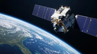
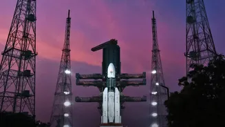
Launched in early September 2026, EOS-05, also known as GISAT-1A, is not just another satellite. It is the Indian Space Research Organisation's (ISRO) first imaging satellite placed in a geosynchronous orbit, approximately 36,000 kilometres above the Earth.
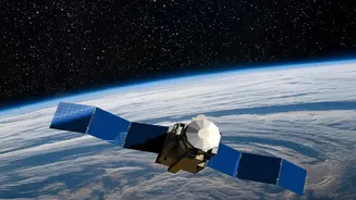
Unlike previous Earth observation satellites in Low Earth Orbit (LEO) that circle the planet rapidly and can only view a specific location for a few minutes at a time, EOS-05's high orbit allows it to match the Earth's rotation. This unique position enables it to hover over the Indian subcontinent, providing a constant and unwavering watch. After a series of successful engine burns to raise its orbit, the satellite is now positioned for its mission, marking a significant milestone for India's space programme.
The Power of a Persistent Gaze
The true game-changer for EOS-05 is its ability to provide near real-time imagery. The satellite is designed to capture images of a selected area of interest every five minutes, and it can scan the entire Indian landmass every half hour. This high frequency of observation is a massive leap forward from the intermittent coverage provided by LEO satellites, which might pass over the same spot only once every few days. For a country managing a vast and dynamic geography, this capability means being able to monitor rapidly unfolding events, from threatening weather patterns to movements along its borders, with unprecedented clarity and speed. Dubbed an 'eye in the sky,' EOS-05 provides a persistent stare that was previously unavailable.
A New Shield for National Security
The strategic implications of EOS-05 are profound. Described by ISRO officials as a "strategic satellite," its continuous monitoring capabilities are a significant asset for national security. It allows for constant surveillance of India's extensive land and maritime borders, offering a tool to track adversary movements and enhance situational awareness. In a complex geopolitical landscape, the ability to maintain an unblinking eye on areas of interest provides a critical advantage, enabling more timely and informed decisions. The satellite is expected to provide valuable data for the armed forces, including the Indian Navy, strengthening the country's defensive posture.
A Frontline Defence Against Disasters
Beyond its military applications, EOS-05 is poised to become a vital tool for civilian protection and disaster management. Its ability to frequently image large areas is invaluable for tracking the progress of natural disasters like cyclones, floods, and forest fires in near real-time. By observing the formation of a cyclone or the spread of floodwaters with high-resolution imagery every few minutes, authorities can issue more accurate warnings, plan more effective evacuation routes, and deploy emergency resources more efficiently. This can translate directly into saved lives and reduced economic damage, making the satellite a guardian for vulnerable communities across the nation.
Boosting Agriculture and the Environment
The data from EOS-05 will also filter down to key sectors of the Indian economy. In agriculture, its multi-spectral and hyper-spectral cameras can monitor crop health, soil moisture levels, and vegetation stress over large farmlands, providing insights for improving yields and managing resources. For urban planners and environmental agencies, the satellite will help track changes in land use, monitor forest cover, and assess the impact of climate change. By providing a consistent and detailed picture of the nation's natural resources, EOS-05 will empower a smarter, more data-driven approach to governance and economic planning.