



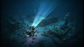


Legends Beneath the Waves
For generations, tales have been told of ancient cities and temples lost to the sea along India's southeastern coast. The most famous legends speak of the 'Seven Pagodas' of Mahabalipuram, six of which are said to be submerged, and the flourishing port
city of Poompuhar, described in Sangam literature as being swallowed by the ocean. These stories, long dismissed by some as folklore, have inspired decades of scientific curiosity and exploration, prompting researchers to ask: what really lies beneath the waters?
The Digital Eyes of Discovery
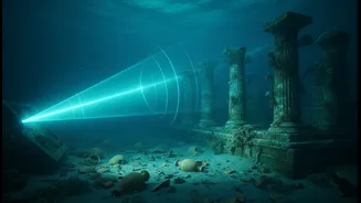
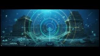
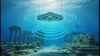
The primary tool for modern underwater explorers is SONAR, which stands for Sound Navigation and Ranging. In simple terms, a sonar device sends out pulses of sound through the water. When these sound waves hit an object—like the seafloor or a man-made wall—they bounce back as an echo. By measuring the time it takes for the echo to return, scientists can calculate the depth and create a picture of what's below. This acoustic technology allows research vessels from institutions like the National Institute of Oceanography (NIO) and National Institute of Ocean Technology (NIOT) to systematically scan vast areas of the seabed without ever getting wet.
The Advanced Toolkit: Sonar Types
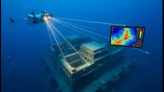
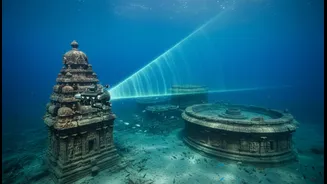
Not all sonar is the same. For detailed archaeological work, scientists use a combination of specialised systems. A Multibeam Echosounder (MBES) is a key tool, sending out a fan-shaped swath of hundreds of sound beams. This technique creates detailed, three-dimensional bathymetric maps of the seafloor's topography. It’s like draining the ocean to see its hills and valleys. Complementing this is Side-Scan Sonar. Often towed behind a ship in a 'towfish', this device sends out beams to the sides, generating incredibly detailed images of the seafloor's surface texture. While it doesn't measure depth as precisely as a multibeam system, it excels at detecting objects and features, like scattered stone blocks or the outline of a wall.
From Sound Pulses to Ancient Maps
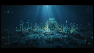
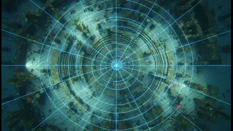
The mapping process is a meticulous one. A research vessel sails in a pre-planned grid pattern over the target area, ensuring complete coverage. Onboard, the sonar systems continuously send and receive sound pulses, collecting millions of data points. This raw data is then processed using sophisticated software that corrects for the ship's motion, water salinity, and temperature, all of which can affect the speed of sound. The result is a high-resolution mosaic—a digital image or 3D model of the seabed. Archaeologists and geologists then analyse these maps, looking for unnatural, geometric shapes or linear patterns that suggest man-made structures.
What the Sonar Reveals
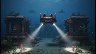
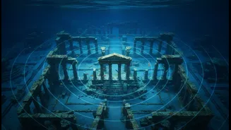
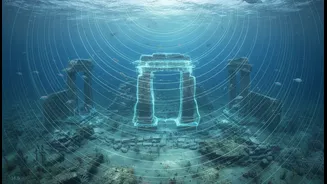
The sonar surveys off the Tamil Nadu coast, particularly at Mahabalipuram and Poompuhar, have transformed legend into tangible evidence. While they haven't found pristine, intact cities, the sonar has identified submerged walls, dressed stone blocks, what appear to be foundations, and U-shaped structures lying at depths from 5 to 23 metres. In some cases, these findings have been physically verified by divers from the Archaeological Survey of India (ASI). The sonar data confirms that a significant complex of man-made structures does exist offshore, likely submerged over centuries due to a combination of coastal erosion, tsunamis, and rising sea levels.