



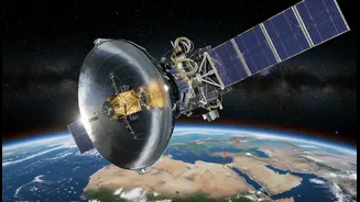


An Eye in the Sky Like No Other
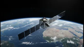
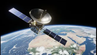
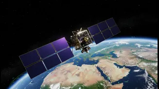
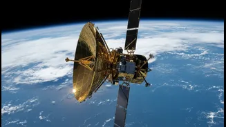
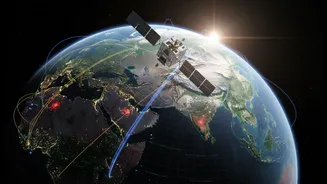
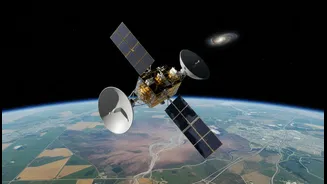
NISAR is a joint Earth-observation mission between India’s ISRO and the USA’s NASA, and it's one of the most sophisticated and expensive Earth-imaging satellites ever built. Its primary goal is to monitor our planet's complex processes with unprecedented
detail. Think of it as a systematic, repeating scan of Earth’s land and ice surfaces. The satellite will map the entire globe every 12 days, creating a time-lapse view of the changes happening to our world. This constant monitoring is key to understanding everything from the flow of glaciers to the subtle shifts in the ground that might signal a future hazard. The collaboration is a landmark, with NASA providing the L-band radar and ISRO contributing the S-band radar and the launch vehicle, making it a true partnership in space.
Seeing Through Clouds and Darkness
What makes NISAR a game-changer is its core technology: Synthetic Aperture Radar (SAR). Unlike a regular camera that needs light and clear skies, SAR can see through clouds, dust, and darkness. This is absolutely critical for a country like India, which experiences heavy cloud cover during the monsoon season—a time when the risk of floods and landslides is at its highest. SAR works by sending microwave pulses towards the Earth and interpreting the signals that bounce back. NISAR is the first satellite mission to use two different radar frequencies (L-band and S-band). The L-band can penetrate deeper into vegetation, giving us a clearer picture of what's happening on the ground surface, while the S-band is excellent for studying soil moisture and agricultural health.
From Early Warnings to Rapid Response
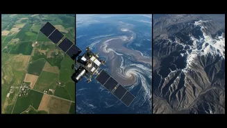
The most direct benefit of NISAR for everyday safety is in disaster management. Its ability to detect tiny changes in the Earth's surface—as small as a centimetre—can provide early warnings for a host of natural disasters. For India's Himalayan region, which is prone to earthquakes and landslides, NISAR can track ground deformation that could precede a seismic event or a catastrophic landslide. In the event of a flood, SAR imagery can quickly and accurately map the extent of the inundation, even through thick clouds, helping authorities plan evacuation routes and deliver aid to the most affected areas. After an earthquake, it can help create damage maps within hours, identifying collapsed buildings and broken infrastructure, which is vital for emergency responders.
More Than Just Disasters
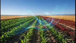
While disaster response is a headline application, NISAR's contribution to safety goes much deeper. Its data will be invaluable for managing India's critical resources. The satellite will monitor agricultural land, helping to assess crop health and estimate yields, which directly impacts food security. It can track changes in groundwater levels, a critical concern for vast swathes of the country, and monitor coastal erosion, protecting coastal communities. By observing changes in forest cover and wetlands, NISAR will provide crucial data for environmental protection and climate resilience efforts. Essentially, it provides the intelligence needed for smarter, safer, and more sustainable national planning.
A Leap for India's Security
ISRO already operates a constellation of satellites dedicated to the safety and security of the nation, continuously monitoring India's vast coastline and borders. NISAR dramatically enhances these capabilities. The dual-band radar provides a unique dataset that complements existing systems, offering a more complete picture of the landscape. For a nation grappling with a wide spectrum of natural hazards, from cyclones on the east coast to earthquakes in the north, this kind of comprehensive, all-weather monitoring is not a luxury—it's a necessity. The data from NISAR will empower Indian agencies to build more accurate risk models, implement stronger mitigation strategies, and ultimately, save lives and protect livelihoods.