





An Unblinking Eye in the Sky
For disaster management agencies, the biggest challenges during a flood or landslide are chaos and uncertainty. Traditional ground surveys are slow, expensive, and often impossible when roads are cut off and weather is hostile. This is where Earth observation
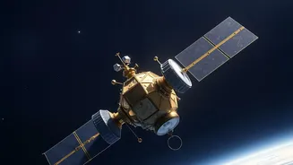
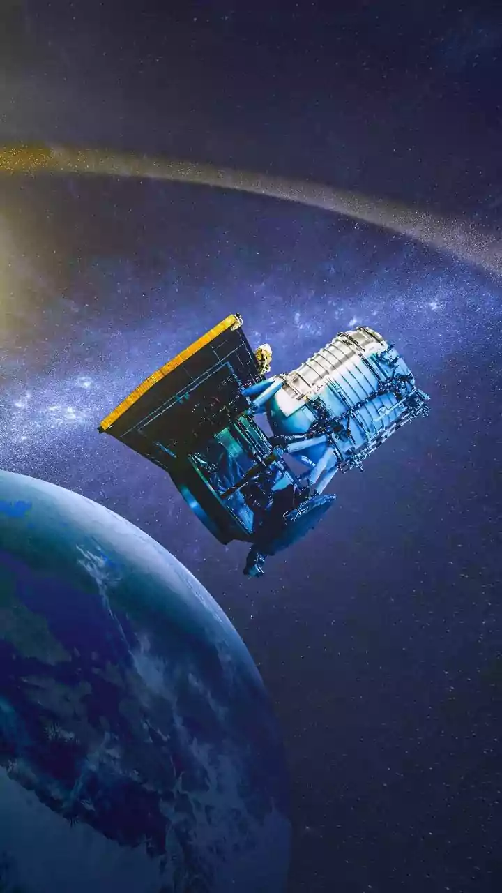
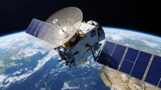
satellites become indispensable. Orbiting the planet, they provide a synoptic view of vast, inaccessible areas, day and night, regardless of cloud cover. This near real-time information is critical for rescue authorities to understand the scale of a disaster, allocate resources effectively, and save lives.
Mapping the Waters: How Satellites See Floods
Detecting floodwater from space, especially during cloudy monsoon conditions, relies on a special technology called Synthetic Aperture Radar (SAR). Unlike optical cameras that need light, SAR satellites send microwave pulses towards the Earth and measure the signals that bounce back. Calm, standing water acts like a mirror, reflecting the signal away from the satellite, making it appear as a dark patch in the resulting image. In contrast, rough land scatters the signal, appearing much brighter. By comparing images taken before and during a flood, analysts can quickly create detailed maps showing the exact extent of inundation. This all-weather capability is what makes SAR so valuable for monsoon-related disasters.
Sensing the Shift: Detecting Landslide Risk
While floods are about detecting water, landslides are about detecting movement. Here too, radar satellites play a key role using a technique called Interferometric SAR (InSAR). By comparing two radar images of the same slope taken at different times, InSAR can detect tiny, millimetre-scale changes in the ground surface. This subtle deformation can be an early warning sign that a hillside is becoming unstable and could collapse. Additionally, satellites monitor factors that trigger landslides, such as intense rainfall and soil moisture levels, providing another layer of data for predictive models. By combining data on slope, geology, land use, and rainfall, scientists can create detailed landslide susceptibility maps that highlight vulnerable areas before a disaster strikes.
India's Orbital Sentinels
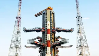
The Indian Space Research Organisation (ISRO) operates a sophisticated fleet of satellites crucial for disaster management. The RISAT (Radar Imaging Satellite) series, with its SAR capability, is a workhorse for flood mapping, while the INSAT series provides meteorological data for tracking cyclones and heavy rainfall. High-resolution Cartosat satellites help in detailed damage assessment after an event. ISRO disseminates this information through portals like Bhuvan and the National Database for Emergency Management (NDEM) to support state and central authorities. Furthermore, projects like the Satellite Integrated Landslide Assessment and Alert System (SILAAS) are being implemented in vulnerable regions like Jammu and Kashmir to provide village-level alerts.
A Global Effort for Local Relief
Disaster management is also a collaborative global effort. India, through ISRO, is a founding member of the International Charter 'Space and Major Disasters'. This framework allows 17 member space agencies to voluntarily provide satellite data to any country affected by a major disaster, at no cost. When a large-scale event like the Kerala floods or a major cyclone occurs, the Charter can be activated to task a virtual constellation of satellites, ensuring a continuous stream of imagery. This international cooperation provides a much higher frequency of observation than any single country could achieve alone, drastically improving the quality and timeliness of information for relief operations on the ground.