



Understanding the Unique Dangers
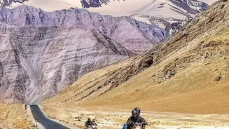
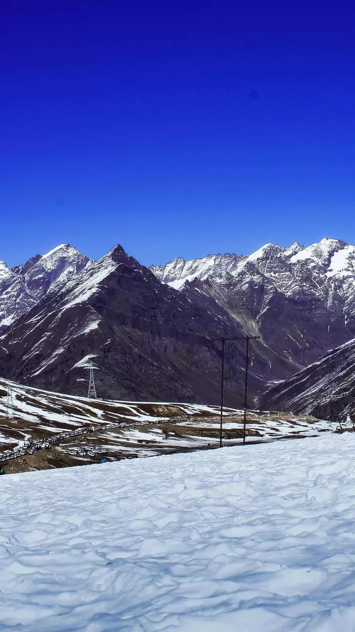
Winter driving in high-elevation areas involves more than just snow. Mountain passes are notorious for rapidly changing microclimates, where clear skies can give way to a blizzard in minutes. The primary threats include black ice, which is invisible on the
pavement; freezing fog that drastically reduces visibility; and powerful crosswinds that can destabilize high-profile vehicles. Steep grades and sharp turns, common on roads like Colorado's I-70 or California's Donner Pass, become exceptionally treacherous when icy. Furthermore, heavy snowfall increases the risk of avalanches, which can close roads or, in a worst-case scenario, sweep vehicles away. These combined hazards mean that a standard weather forecast is not enough; drivers need specific, route-based information.
Decoding Official Alerts and Advisories
Government agencies like the National Weather Service (NWS) and state Departments of Transportation (DOTs) issue tiered alerts to help travelers make informed decisions. It’s crucial to understand the difference between them. A 'Winter Weather Advisory' is the least severe, signaling that conditions like light snow or freezing rain are expected to make travel difficult. A 'Winter Storm Watch' means conditions are favorable for a significant storm, giving you time to prepare and monitor updates. A 'Winter Storm Warning' is the most serious, issued when a major storm with heavy snow or ice is imminent or already occurring, making travel difficult or impossible. Heeding these warnings and delaying travel plans accordingly is a critical safety measure.
Your Go-To Sources for Real-Time Information
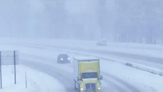
Before you even get in the car, the first step is to check the latest conditions. Nearly every state with mountain passes offers a 511 traveler information system. These services are accessible via phone, a dedicated website, or a mobile app and provide real-time updates on road closures, accidents, chain requirements, and construction. State DOT websites are invaluable resources, often featuring interactive maps with color-coded road conditions and live camera feeds from critical passes. This allows you to visually inspect a route like Snoqualmie Pass in Washington or Monida Pass in Montana before you commit to it. Some social media accounts managed by DOTs also provide live updates.
Technology That Sees What You Can't
Beyond official state-run sites, modern technology offers another layer of protection. Many state DOTs now equip their snowplows with advanced sensors that measure road temperature, humidity, and surface conditions. This data is transmitted in near real-time, allowing maintenance crews to target dangerous stretches proactively. AI-driven systems are also emerging, which analyze data from embedded road sensors and weather forecasts to predict where icy conditions will form before they become a hazard. For the driver, GPS apps like Google Maps and Waze increasingly integrate real-time hazard alerts reported by other users and official sources. Specialized services for commercial drivers even provide geo-fenced emergency messages about impending closures or debris.
Turning Information Into Action
Having access to updates is only half the battle; you must act on them. If advisories mention chain requirements, it is a non-negotiable instruction. Ensure your vehicle is properly winterized with adequate tires, antifreeze, and a functioning heater. Pack a winter emergency kit containing blankets, water, snacks, a flashlight, and a shovel. When on the road, reduce your speed significantly—what’s safe on dry pavement is reckless on ice. Increase your following distance to at least eight to ten seconds and never use cruise control on slick surfaces. If you see a warning for a snow squall, which can cause sudden whiteout conditions, the safest action is to exit the highway or pull over until it passes.