



An Invisible Climate Threat
Methane is a powerful greenhouse gas, with a heat-trapping potential over 80 times that of carbon dioxide in the short term, making it a critical target for slowing near-term climate change. The Permian Basin, straddling Texas and New Mexico, is the largest
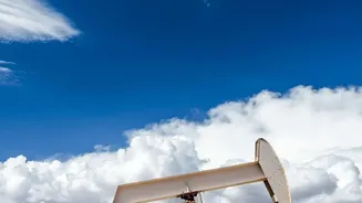
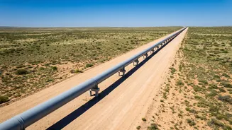
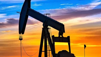
oil-producing region in the United States and a major source of these emissions. For years, methane leaking from pipelines, wells, and other equipment was an invisible problem, difficult to quantify and locate across such a vast area. Traditional monitoring involved ground crews or flyovers, which were often slow and couldn't provide a complete picture. This resulted in significant amounts of methane, a saleable product, being lost to the atmosphere while accelerating global warming.
The New Eyes in the Sky
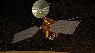
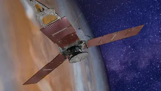
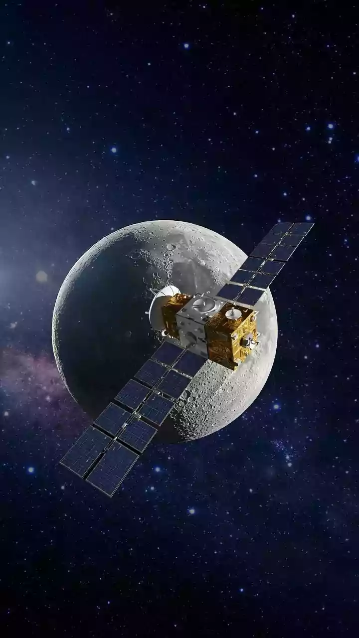
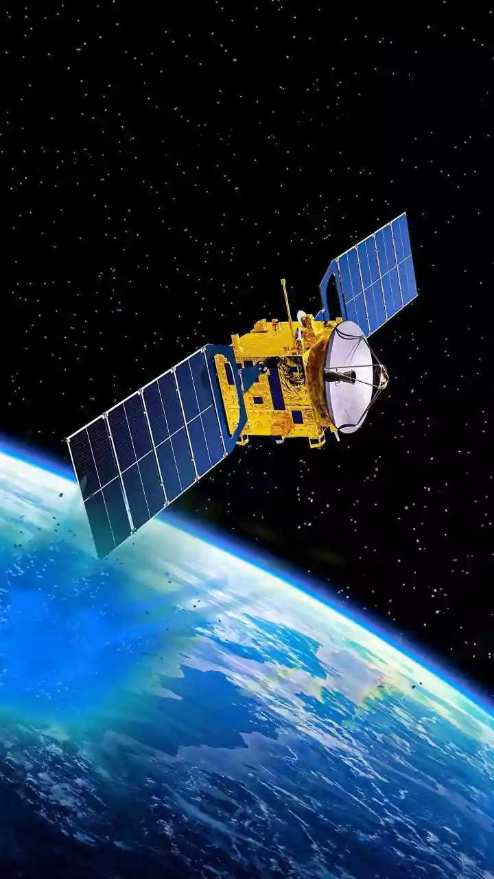
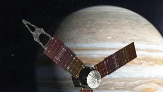
A new generation of satellite technology is changing the game. Organizations and companies like Carbon Mapper, MethaneSAT, and GHGSat have launched sophisticated satellites designed specifically to detect methane plumes from space. These instruments work by measuring how sunlight reflecting off the Earth is absorbed by methane in the atmosphere. By analysing this light signature, they can pinpoint the location and even estimate the size of a leak with remarkable precision, sometimes down to a specific piece of equipment. There are two main types of satellite approaches: area-flux satellites that provide a wide-angle view of an entire region's emissions, and point-source imagers that zoom in to identify individual high-emission sites, often called "super-emitters."
From Data to Action
Detecting a leak is only the first step; the real innovation is turning that data into swift action. This is where "methane intelligence" comes in. When a satellite identifies a significant plume, the data is processed and an alert is generated. These alerts are increasingly being shared directly with oil and gas operators. This process cuts through the ambiguity of older estimation methods. Instead of relying on calculations and factors, companies receive near real-time, location-specific evidence of a leak. This allows them to dispatch repair crews to the exact location of the problem, a major shift from speculative, time-consuming ground searches. The goal is to create a seamless pipeline from detection to mitigation.
The Impact of Rapid Repair
The implementation of these rapid repair protocols is having a tangible impact. By quickly fixing leaks that might have otherwise persisted for months or even years, companies can significantly reduce their overall emissions. This is not just an environmental win; it's also economic. Every repaired leak means more natural gas is captured and sold, which can offset the cost of the repairs. Studies have shown that a small number of super-emitters are often responsible for a disproportionately large share of total emissions. Targeting these specific sites using satellite data offers a cost-effective way to achieve substantial emission reductions quickly. The data also enables verification, as subsequent satellite passes can confirm that a repair has been successful.
A New Era of Accountability
This technology ushers in a new era of transparency and accountability for the energy sector. With data from groups like MethaneSAT and Carbon Mapper often being made publicly available, it's no longer just companies policing themselves. Regulators, investors, and the public can now see a more accurate picture of emissions performance across a region. For example, recent satellite observations over the Permian Basin highlighted that the New Mexico side, which has stricter emissions rules, has a significantly lower methane intensity than the Texas side. While challenges like cloud cover and response rates to alerts remain, the trend is clear: satellite intelligence is creating powerful incentives for companies to monitor their infrastructure more effectively and act decisively to curb emissions.