


Panic in the Valley
The initial event was registered by seismographs and felt by people on the ground, prompting an immediate earthquake alert. The United States Geological Survey (USGS) first reported a magnitude 4.4 seismic event near the Nepal-China border. In a country
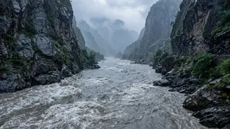
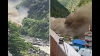
where the memory of devastating earthquakes is deeply embedded, the reaction was instinctual fear of a tectonic disaster. Official statements in the immediate aftermath even suggested an earthquake had likely triggered a landslide. However, as a colossal wave of water, mud, and debris began thundering down the Bhote Koshi river and its tributaries, it became clear this was a different kind of catastrophe.
The Real Culprit: A Glacial Collapse
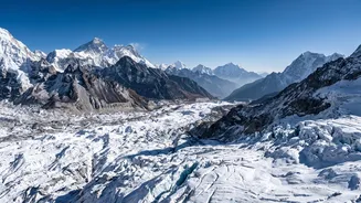
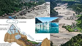
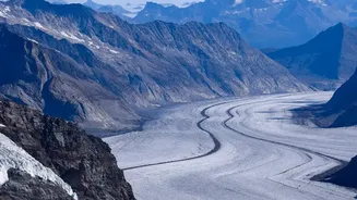
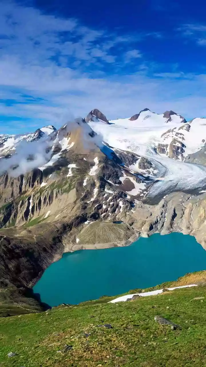
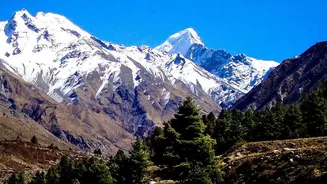
Subsequent analysis by the USGS and other international scientists revealed the truth: there was no tectonic earthquake. Instead, the seismic tremors were generated by a massive glacial collapse. A huge mass of ice and rock sheared off a mountain in the Himalayas, triggering what is known as a rock-ice avalanche. This avalanche cascaded into the Lhende River, a tributary of the Bhote Koshi, unleashing a powerful debris flow. The sheer force of this event was so immense that it registered on seismometers as a magnitude 5.2 event. So, it wasn't an earthquake that caused the landslide; the landslide itself generated the earthquake-like seismic waves.
The Science of Seismic Deception
How can a flood feel like an earthquake? The answer lies in the immense energy released by a debris flow. Unlike a normal flood of water, a flash flood triggered by a glacial collapse is a thick, heavy slurry of water, mud, sediment, and massive boulders. As this torrent moves at high speed down steep mountain valleys, it scours the riverbed and banks, and the constant collision of large rocks and debris generates intense ground vibrations. These vibrations travel through the earth as seismic waves, the same kind of waves produced by an earthquake. Seismometers are sensitive enough to detect ground motion from various sources, including avalanches and lahars (volcanic mudflows). While experts can differentiate the seismic "signatures" of these events from tectonic quakes, the initial signal can be misleading. A landslide's signal often has a different frequency and duration than a classic earthquake, which is how scientists were ultimately able to correct the initial report.
A Region Primed for Confusion
The confusion is also psychological and geographical. Nepal lies in one of the world's most seismically active regions, making earthquakes a constant and primary concern for both its people and its disaster management authorities. When tremors are felt, an earthquake is the most logical and immediate assumption. Furthermore, the Himalayan region is experiencing the profound effects of climate change, which is leading to more frequent and intense extreme weather events. Glaciers are melting at an accelerated rate, destabilising the surrounding rock and creating vast glacial lakes. These events, known as Glacial Lake Outburst Floods (GLOFs), alongside landslides and avalanches, create a complex chain of hazards where one disaster can trigger another, making early warning incredibly challenging.
Improving Detection for a Safer Future
This tragic event highlights a critical challenge for disaster management: quickly and accurately distinguishing between the seismic signals of an earthquake and those of a massive landslide or flash flood. An earthquake warning might advise people to move into open spaces, away from buildings. However, in the case of a flash flood, being in an open space in a valley floor is the most dangerous place to be. The correct advice would be to seek higher ground immediately. Scientists are continuously working to refine their analysis of seismic data to provide faster and more accurate warnings. Understanding the unique signatures of these different catastrophic events is crucial for giving communities the correct life-saving instructions in the vital first few minutes of a disaster.