





A New Sentinel in Geostationary Orbit
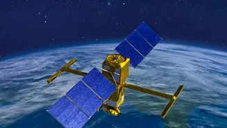
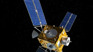
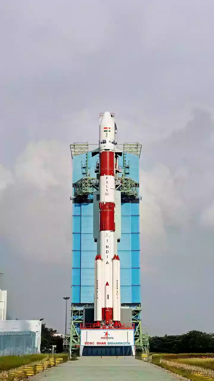
The Indian Space Research Organisation (ISRO) is targeting a September 4, 2026, launch for its highly anticipated Earth Observation Satellite, EOS-05. Also known as GISAT-1A, this satellite is not just another addition to India's space assets; it represents
a significant leap in the nation's ability to monitor its own territory. Unlike most Earth observation satellites that orbit the planet and pass over a specific area periodically, EOS-05 will be placed in a geostationary orbit approximately 36,000 km above the equator. This unique position allows it to remain fixed over the Indian subcontinent, providing continuous, near real-time imagery of a vast area. This capability is a game-changer for tracking rapidly developing events, transforming how authorities see and respond to everything from weather patterns to natural disasters. The mission is also strategically important, as it is a successor to the GISAT-1 mission, which was lost in a launch failure in August 2021.
The Technology Behind the Vision
EOS-05 is described by ISRO as an “agile geo-imaging satellite”. Its primary strength lies in its ability to capture images of the entire Indian landmass every 30 minutes, and for specific areas of interest, it can revisit and provide updated images in as little as five minutes. This rapid refresh rate is crucial for disaster management. The satellite is equipped with multi-spectral and hyper-spectral imaging instruments, which can see the Earth in different wavelengths of light, revealing details invisible to the naked eye. While originally conceived for monitoring natural resources and environmental changes, its most powerful application is in observing dynamic events. For disaster management agencies, this means having the ability to watch a cyclone form over the ocean, track its intensity, and predict its path with greater precision. It allows for the monitoring of cloud cover, weather systems, and conditions that could lead to flash floods.
From Satellite Data to Saving Lives
Raw satellite data is just the first step. The real magic happens when this information is processed and turned into actionable intelligence for disaster response teams on the ground. ISRO has a well-established Disaster Management Support (DMS) programme that already leverages a fleet of satellites to assist national and state authorities. Data from satellites like those in the INSAT and Resourcesat series is fed into platforms like the National Database for Emergency Management (NDEM). This system acts as a central hub, providing crucial information for preparedness, damage assessment, and emergency response. When a cyclone or flood occurs, ISRO’s National Remote Sensing Centre (NRSC) processes incoming satellite images to create near real-time maps of the affected areas. These maps, showing the extent of flooding or potential landslide zones, are disseminated to agencies like the National Disaster Management Authority (NDMA), helping them plan evacuation routes and deploy resources effectively.
Enhancing India's Climate Resilience
The addition of EOS-05 to this framework is expected to make the entire process faster and more proactive. India is highly vulnerable to a range of natural disasters, including floods, cyclones, and droughts. A geostationary satellite offers the advantage of persistent surveillance, which is vital for early warnings. For example, by providing continuous updates, EOS-05 can help authorities monitor river water levels that are rising dangerously or track the precise movement of a cyclone's eye wall. This capability complements other specialised satellites already in orbit, such as Oceansat-3 (also known as EOS-06), which provides crucial data on ocean surface winds and temperature that are key to understanding cyclone formation and intensification. The goal is to move from a reactive to a more predictive and prepared stance, reducing the loss of life and property by giving people and governments more time to act.