







What Exactly Is El Niño?
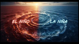
At its heart, El Niño is a significant warming of the ocean surface in the central and eastern tropical Pacific Ocean. This isn't just a minor temperature tweak; it's a large-scale shift that can last for nine to twelve months, or even longer, and occurs
irregularly every two to seven years. This phenomenon is the warm phase of a larger cycle known as the El Niño-Southern Oscillation (ENSO), which is one of the most influential climate drivers on Earth. The name El Niño, Spanish for "the little boy," was coined by South American fishermen centuries ago who noticed the warming waters around Christmas time.
The Normal Situation: A Tale of Two Pacifics
To understand what El Niño changes, we first need to know what's 'normal'. Typically, strong trade winds blow from east to west across the tropical Pacific, from South America towards Asia. These winds push the warm surface water, heated by the sun, towards the western Pacific, piling it up around Indonesia and Australia. As a result, the sea level in the west can be up to 40 cm higher than in the east. This pool of warm water heats the air above it, causing it to rise and form rain clouds, which is why this region is typically rainy. Meanwhile, in the eastern Pacific, the departing warm water is replaced by cool, nutrient-rich water from the deep ocean in a process called upwelling.
The Great Reversal: How El Niño Unfolds
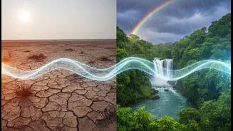
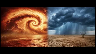
During an El Niño, this entire system gets disrupted. The trade winds weaken and can even reverse direction, blowing from west to east. Without the strong push westward, the massive pool of warm water sloshes back eastward, across the Pacific towards the coast of South America. This is the journey from ocean currents to rain clouds. This massive shift in ocean heat changes the atmospheric circulation above it. The rising, moist air that usually creates rain over Indonesia and Australia now shifts to the central and eastern Pacific. Consequently, regions like Peru and Ecuador experience unusually heavy rainfall and floods, while Southeast Asia and Australia can face severe drought and increased wildfire risk.
The Indian Connection: A Weaker Monsoon
For India, the primary concern is El Niño's impact on the southwest monsoon, the lifeline for its agriculture-dependent economy. The same atmospheric changes that cause drought in Australia can weaken the circulation patterns that support India's monsoon. The altered heat and pressure systems disrupt the flow of moisture from the ocean to the subcontinent, often resulting in below-normal rainfall. Historically, many El Niño years have correlated with weaker monsoons and drought conditions in India, impacting crop sowing, lowering yields of key crops like rice and pulses, and straining water reservoirs and hydropower generation. This can lead to higher food prices and slower economic growth.
La Niña and The Current Outlook
The ENSO cycle also has a cold phase, La Niña (“the little girl”), which is essentially the opposite of El Niño. During La Niña, trade winds become stronger than usual, pushing more warm water west and increasing the upwelling of cold water in the east. This often brings opposite weather effects, including a higher chance of above-average monsoon rainfall for India. As of July 2026, forecasts from international agencies like the World Meteorological Organization (WMO) and NOAA indicate that strong El Niño conditions are not only present but are expected to intensify through the remainder of the year. Multiple models suggest this could become a historically strong event, increasing the likelihood of extreme weather globally. Reports for India already show a significant rainfall deficit in June 2026, impacting the sowing of Kharif crops.