



The Silent Threat of Storm Surges
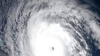
When a cyclone makes landfall, we often focus on the destructive force of its winds. However, the greatest loss of life and property frequently comes from storm surges—a massive, abnormal rise in sea level pushed ashore by the storm. It’s not a tsunami,
but a vast dome of water that can extend for kilometres inland, flooding coastal communities with devastating speed and force. This surge, combined with regular tides, can raise the sea level by several meters, overwhelming defences and leaving little time for escape. For a country with over 7,500 kilometres of coastline and densely populated coastal cities and villages, the ability to predict these events isn't just a scientific goal; it's a national imperative.
ISRO’s Watchful Eyes from Above
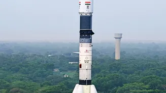
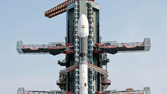
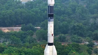
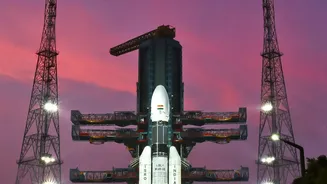
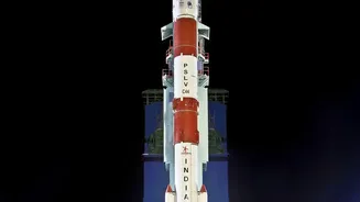
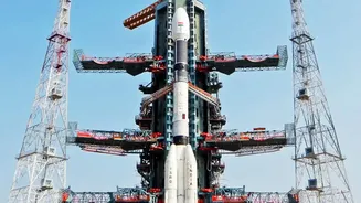
This is where the Indian Space Research Organisation (ISRO) plays a pivotal role. A fleet of sophisticated Earth observation satellites, particularly from the Oceansat and SCATSAT series, are constantly monitoring our oceans. These are not just cameras in the sky; they are equipped with highly specialised instruments designed to measure key oceanic and atmospheric parameters that are the building blocks of a storm surge forecast. Satellites like Oceansat-3, SCATSAT-1, and the joint Indo-US mission NISAR provide an unprecedented view of the ocean's surface, day and night, regardless of cloud cover. This continuous stream of data allows scientists to see the subtle changes in the sea that signal an approaching disaster.
How Satellites See the Ocean
Two key types of instruments on these satellites are crucial: radar altimeters and scatterometers. A radar altimeter works by bouncing a microwave pulse off the ocean's surface and measuring the time it takes to return. This provides incredibly precise measurements of the sea surface height. An unusual bulge in the water, even in the open ocean, can be an early indicator of a developing storm surge. Scatterometers, on the other hand, measure the roughness of the ocean surface by analysing the scattered microwave signals they send out. This data is then used to calculate the speed and direction of winds blowing over the sea with remarkable accuracy. Measuring wind is critical because strong, sustained winds are the primary engine that drives a storm surge. Together, these instruments give a detailed picture of the storm's energy and its effect on the ocean.
From Pixels to Predictions
Collecting the data is only the first step. The raw satellite information is beamed down to ground stations and fed to organisations like the Indian National Centre for Ocean Information Services (INCOIS). At INCOIS, scientists and forecasters input this wealth of data—sea surface height, wind vectors, and sea surface temperature—into complex computer models. These models simulate how the ocean will respond to the cyclone's forces, predicting where, when, and how high the storm surge will be. The collaboration between ISRO, which provides the space-based observations, and INCOIS, which translates that data into actionable warnings, forms the backbone of India’s early warning system. This partnership ensures that alerts about potential flooding and dangerous sea conditions reach disaster management authorities and coastal communities in time.
The Human Impact of Early Warnings
The impact of this technological advancement is measured in lives saved. Accurate, location-specific warnings issued 24 to 48 hours in advance give authorities crucial time to evacuate vulnerable populations, move fishing fleets to safety, and prepare emergency response teams. Mobile apps like SAMUDRA, developed by INCOIS, help disseminate these alerts directly to fishermen and seafarers, providing real-time updates on ocean hazards. With the recent public release of data from the advanced NISAR satellite, which can track coastal changes and flooding with incredible precision, the system is only getting stronger. This flow of information, from a satellite orbiting hundreds of kilometres above Earth to a fisherman's smartphone, represents a monumental leap in our ability to coexist with the powerful forces of nature. The silent, tireless work of ISRO's satellites provides the knowledge needed to turn potential catastrophes into manageable events.