



The Reality of a Rain-Shadow Region
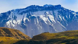
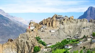
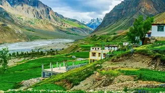
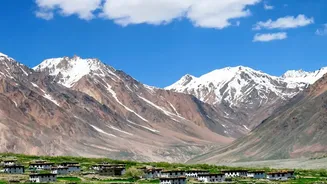
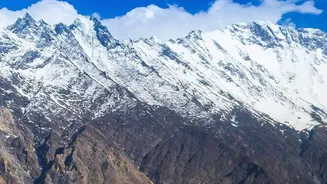
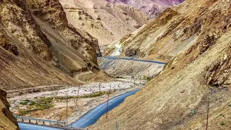
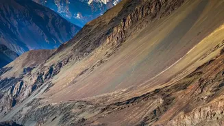
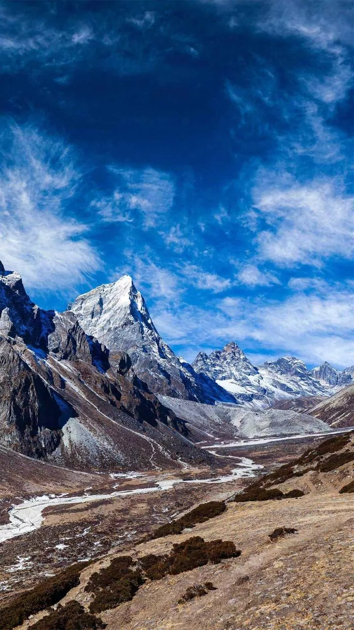
Spiti Valley itself is a cold desert that lies in a rain-shadow region, meaning it receives minimal rainfall. The real danger lies in the journey to get there. The approach roads from both Manali and Shimla are highly susceptible to the monsoon's fury.
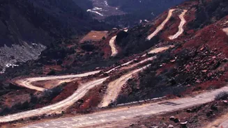
Heavy rains trigger frequent landslides, flash floods, and rockfalls, making these routes unpredictable and hazardous. A road that is clear in the morning can be blocked by afternoon, leaving travelers stranded.
Before You Go: Check, Check, and Re-Check
Do not begin your journey without consulting official sources. Check the daily weather forecast from the India Meteorological Department (IMD). Postpone travel if an orange or red alert is active. Monitor road status updates from the Lahaul & Spiti district administration and Himachal Pradesh Police. It is also wise to speak with local taxi drivers or hotel owners in the region, as they often have the most current, ground-level information on route conditions.
Choosing Your Route: Shimla Over Manali
During peak monsoon, the route from Shimla to Kaza via Kinnaur is generally considered safer than the Manali-Kaza highway. The Manali route involves crossing Rohtang Pass and Kunzum Pass, where the risk of landslides, slippery roads, and dangerous water crossings (nallahs) is significantly higher in heavy rain. The ascent via Manali is also much faster, which increases the risk of Acute Mountain Sickness (AMS). The Shimla road allows for a more gradual acclimatization. While the Shimla highway is not without its own landslide-prone spots, it is generally more stable during the rains.
Rules for the Road: Vehicle and Driver Readiness
Your vehicle must be in top condition. Ensure your tires have good grip, brakes are sound, and wipers are working perfectly. A high ground clearance vehicle is strongly recommended. If you are driving yourself, you must be experienced in navigating treacherous mountain roads. Strictly avoid driving at night; poor visibility can be fatal when it comes to spotting fallen boulders or mudflows. Always give way to ascending traffic on narrow stretches. For bikers, gumboots are essential for navigating water crossings and muddy patches.
On the Pass: Navigating Kunzum and Rohtang
When crossing passes like Kunzum or Rohtang, timing is everything. Start as early as possible, ideally by 6:00 AM. Water levels in glacial streams are lowest in the morning and swell dangerously as the day progresses. Do not stop in areas marked as landslide-prone or with loose overhanging rocks. Maintain a safe distance from the vehicle ahead. If authorities have put up barricades or are directing traffic, follow their instructions without question; they are there for your safety.
Essential Packing and Emergency Protocol
Pack for delays. Carry extra food, water, warm and waterproof clothing, and essential medicines. A power bank and downloaded offline maps are non-negotiable, as mobile networks are patchy at best. In an emergency, contact the District Disaster Control Room. Before you lose signal, inform a trusted contact of your route, vehicle details, and expected check-in time. If you get stuck due to a landslide, stay in your vehicle unless it is in an obviously dangerous spot. Do not attempt to cross a landslide on foot.