




A New Generation of Eyes in the Sky
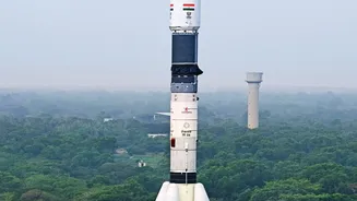
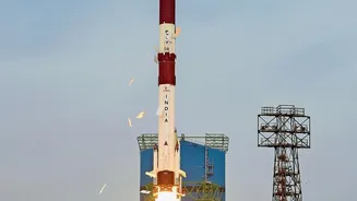
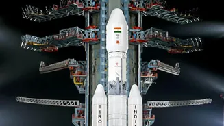
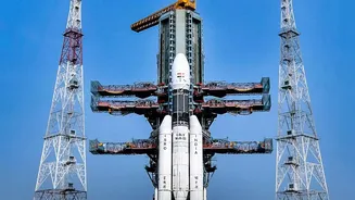
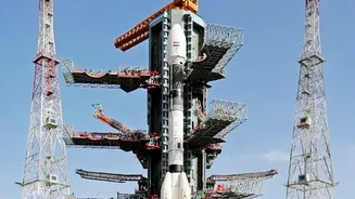
The latest leap forward in India's weather monitoring isn't an upgrade to a single satellite, but a strategic enhancement of its Earth observation capabilities, most notably through the NASA-ISRO Synthetic Aperture Radar (NISAR) mission. Launched in mid-2025,
NISAR is now entering its full science phase, providing a stream of invaluable data. This joint venture represents a significant step up from previous generations of satellites, which primarily relied on optical sensors or lower-resolution instruments. The key technology is Synthetic Aperture Radar, or SAR, a powerful system that provides an all-weather, day-and-night view of the Earth's surface. This is a game-changer for a country that sees its skies almost entirely covered by clouds during the peak monsoon season.
How Radar Pierces Through Clouds
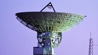
Conventional weather satellites use optical cameras, which are essentially like taking a picture from space. They are excellent in clear weather but are blinded by the very clouds that define a cyclone. SAR technology works differently. It actively sends microwave pulses down to the Earth's surface and then records the signals that bounce back. Because these radio waves can penetrate clouds, haze, and darkness, satellites equipped with SAR can 'see' the ocean surface right in the heart of a developing storm. The NISAR satellite is particularly advanced as it carries two different radar frequencies, an L-band and an S-band, which work together to provide incredibly detailed information about the planet's surface, from ice sheets to subtle shifts in land. For storm tracking, this means gathering precise data on wind and wave patterns that were previously obscured.
From Data to More Accurate Warnings
So, how does a radar image from 747 kilometres up save lives on the coast? The data from SAR instruments allows meteorologists to measure the roughness of the ocean surface, which can be translated into wind speed and direction with remarkable accuracy. By observing the structure of a cyclone and measuring its wind fields, scientists can better forecast its path and, crucially, its intensity. Previous satellites like Oceansat-2, which carried a scatterometer, laid the groundwork for this, providing vital data for tracking cyclones like Hudhud and Phailin. The new generation of SAR sensors provides much higher resolution data, allowing for a more detailed analysis of the storm's dynamics. This enhanced clarity can lead to more reliable and timely warnings, giving authorities a longer lead time to conduct evacuations and prepare for a storm's impact.
The Human Impact of Better Forecasts
The ultimate goal of this technology is to protect lives and property. More accurate cyclone predictions have a direct human impact. They enable disaster management agencies to issue specific, credible warnings, reducing panic and ensuring that evacuation orders are taken seriously. For India's millions of coastal residents and the large fishing community, early warnings about wind speeds and sea conditions are critical for safety and livelihood. Furthermore, precise tracking helps protect vital infrastructure, from ports and power plants to coastal highways. The data provided by satellites like NISAR can also be used post-cyclone to map the extent of flooding and assess damage, even through lingering cloud cover, helping to guide relief and recovery efforts more efficiently.
Part of a Broader Observation Strategy
This enhancement with high-resolution radar is part of ISRO's comprehensive strategy for Earth observation and climate monitoring. The agency operates a fleet of satellites, including the INSAT series and the Oceansat series, that work in concert to provide a complete picture of weather patterns over the Indian subcontinent. The data from the NISAR mission, which is now being made publicly available through ISRO's Bhoonidhi portal, will complement these existing systems. By combining radar data with information from optical and thermal infrared sensors, scientists can build more robust and sophisticated models for weather forecasting. This integrated approach strengthens India's capacity not just for cyclone prediction, but also for monitoring monsoon patterns, agricultural health, and long-term climate change.