



A New Sentinel for India's Forests
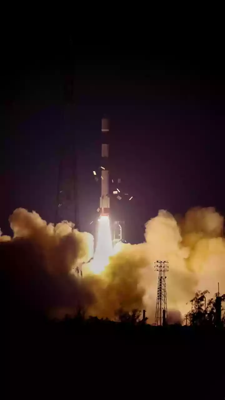
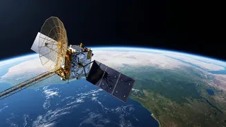
NISAR, which stands for NASA-ISRO Synthetic Aperture Radar, is a sophisticated Earth observation satellite born from a landmark collaboration between the US and Indian space agencies. Launched in mid-2025, this mission is a game-changer for environmental
monitoring. Unlike traditional optical satellites that are essentially cameras in space, NISAR uses radar to paint a detailed picture of the Earth's surface. Its primary goal is to make global measurements of land surface changes, which includes everything from the slow creep of glaciers to the dynamic life of forests and wetlands. For India, a nation with ambitious conservation goals and significant forest resources, NISAR represents a powerful new tool in its environmental stewardship arsenal.
The All-Weather, Day-and-Night Advantage
One of the biggest challenges in monitoring India's forests with optical satellites is the weather. For months during the monsoon, vast stretches of the country are obscured by cloud cover, leaving gaps in the data. NISAR elegantly solves this problem. Its radar signals operate at microwave frequencies that can penetrate clouds, haze, and smoke. Furthermore, it doesn't rely on sunlight, allowing it to gather data day and night. This all-weather, 24/7 capability is crucial. It means that for the first time, agencies like the Forest Survey of India can receive a consistent, uninterrupted stream of data, mapping nearly the entire country every 12 days. This rapid revisit cycle allows for near real-time tracking of changes, a massive leap forward from older methods.
Like an X-Ray for the Forest
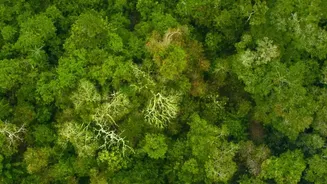
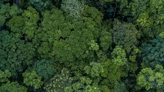
What makes NISAR truly unique is its dual-frequency radar system. It's the first satellite to carry both an L-band and an S-band radar. Think of it like having two different types of X-ray vision for the forest. The S-band radar, built by ISRO, is sensitive to the upper canopy, mapping the leaves and smaller branches. The L-band radar, from NASA, uses a longer wavelength that can pierce through the dense canopy of leaves and branches to see the forest's underlying structure. It bounces signals off of tree trunks and the forest floor itself. This ability to see 'through' the canopy provides a three-dimensional perspective, revealing not just where the forest is, but also its density, structure, and the amount of biomass (wood) it holds.
From Accurate Data to On-Ground Action
This detailed data has profound implications for forest management in India. By providing highly accurate estimates of forest biomass, NISAR can help halve the uncertainty in carbon stock calculations, which is critical for tracking progress towards India's climate goals under the Paris Agreement. The technology allows officials to distinguish between different types of disturbances. For example, it can help differentiate between a clear-felled patch of land and an area that is merely degraded, where some tree cover remains but the forest's health is declining. This level of detail enables more targeted and effective conservation and afforestation efforts. Furthermore, the 12-day repeat cycle is a powerful tool against illegal logging, as unauthorised clearings can be detected and flagged to authorities much faster than before.
Beyond Forests: A Holistic View
NISAR's capabilities extend beyond just counting trees. The L-band radar is exceptionally good at detecting moisture in the soil and even seeing waterlogged ground hidden beneath a dense forest canopy. This has been demonstrated in studies of wetland areas like Jhilmil Jheel in Uttarakhand, where NISAR could identify flooded forests that were invisible to optical cameras. This helps in better management of India's crucial wetland ecosystems, which are vital for biodiversity and water security. The satellite's data will also be used for monitoring agricultural landscapes, tracking the health of crops, and providing early warnings for natural disasters like landslides and subsidence. It provides a holistic picture of the entire landscape.