






A New Era of Hyper-Local Weather
The days of relying on city-wide weather predictions that may or may not reflect the conditions in your specific neighbourhood are numbered. The IMD has introduced new artificial intelligence (AI) powered systems designed to provide hyper-local weather information.
For the first time, this includes monsoon onset predictions at the block level, covering over 3,000 sub-districts across 16 states. A pilot program in Uttar Pradesh is even generating rainfall forecasts with a stunning 1-kilometre resolution. This move from broad, district-level outlooks to granular, village-level data marks a significant leap in making weather information more personal and actionable for everyday citizens.
The Technology Driving Precision
This newfound accuracy isn't magic; it's the result of a major technological upgrade. The IMD is combining traditional numerical weather prediction models with advanced AI and machine learning. These systems process vast amounts of data from an expanding network of sources, including Doppler weather radars, automatic rain gauges, and satellite imagery. This integration allows the models to learn and improve, leading to more precise forecasts that can predict weather changes not just for the day, but with hourly predictions for the next day and a half, 3-hourly forecasts for the next five days, and even outlooks up to four weeks in advance for monsoon progression. It’s part of a broader national initiative, Mission Mausam, aimed at boosting forecast accuracy and creating a seamless alert system from seasonal outlooks to hourly updates.
How to Plan Your Journey
So, how does this translate to your door-to-door commute? Imagine you’re planning a two-wheeler ride across town. Instead of just knowing it might rain, you can now check hourly forecasts on platforms like the IMD’s MausamGram portal to find a dry window. You can search for your specific PIN code or even gram panchayat to get tailored predictions on rainfall, temperature, wind speed, and cloud cover. The IMD has also developed a Route Forecast Tool, which provides real-time weather updates mapped across your entire travel route, not just the start and end points. This is invaluable for longer road trips, helping you anticipate conditions like poor visibility due to fog or heavy rain and plan safer journeys by choosing better routes or travel times.
More Than Just an Umbrella Alert
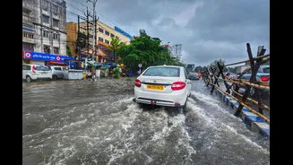
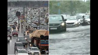
The impact of these forecasts extends far beyond personal convenience. For commuters, it means fewer surprises from sudden downpours causing traffic jams and waterlogging. For parents, it provides a clearer picture of air quality (AQI) before children go out to play. For those involved in outdoor events or business, from street vendors to large-scale construction, hyper-local weather data allows for better planning and risk mitigation. The primary focus of these new AI models has been to support the agricultural sector, helping farmers make critical decisions on sowing, irrigation, and harvesting with unprecedented local precision. This broader application underscores the system's role in strengthening national disaster preparedness and economic planning.