

A New Eye in the Sky
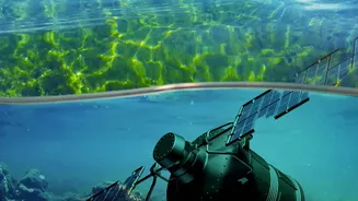
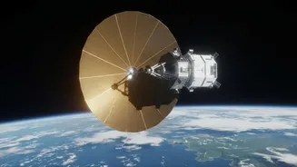
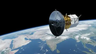
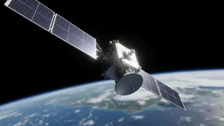
The NISAR satellite, a joint mission between NASA and the Indian Space Research Organisation (ISRO), is one of the most sophisticated Earth-observing satellites ever launched. Its primary goal is to track changes on our planet's surface with astonishing
detail. Unlike standard cameras that can be blocked by clouds or require daylight, NISAR uses a powerful technology called Synthetic Aperture Radar (SAR). This allows it to scan the Earth day and night, in any weather. The mission is set to scan nearly all of Earth’s land and ice surfaces twice every 12 days, generating a massive and continuous stream of data. This frequent, reliable coverage is what scientists are so excited about.
Why Radar Is a Game-Changer for Wetlands
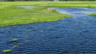
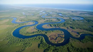
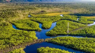
Wetlands are notoriously difficult to monitor. They can be vast, remote, and often covered by dense vegetation. This is where NISAR's specific technology shines. The satellite uses two different radar frequencies: a long-wavelength L-band and a shorter S-band. The L-band is particularly special because it can penetrate through the leaves and branches of a forest canopy. This allows scientists to see what's happening on the ground underneath—specifically, it can detect the presence of water. When radar signals hit flooded forests or swamps, they bounce between the tree trunks and the water's surface before returning to the satellite, creating a uniquely bright signal in the data. This 'double-bounce' effect lets researchers map the exact extent of flooding, even in the densest jungles.
The Power of the Daily Pulse
While NISAR's orbit brings it over the same spot every 12 days, the sheer volume of data it collects and releases is creating a near-daily pulse of information about the planet's health. The data is made freely available to the public within days of observation, and in cases of natural disasters, within hours. For wetlands, this constant flow of information is transformative. Previous satellites could only offer snapshots in time, often months or years apart. With NISAR, scientists can track the seasonal and even weekly ebb and flow of water in wetlands around the globe. This allows for a much more dynamic understanding of how these ecosystems function, breathe, and respond to both natural cycles and human pressures.
Tracking Carbon, Water, and Biodiversity
So, what specific questions can this data answer? One of the biggest involves carbon. Wetlands are immense carbon sinks, storing vast quantities in their soil. However, they are also the planet's largest natural source of methane, a potent greenhouse gas released when areas are flooded. By precisely tracking inundation—when and for how long an area is flooded—scientists can build much more accurate models of the global carbon cycle. The data will also reveal how human activities, like agriculture and urban development, are altering water flow and wetland health. This is vital for managing water resources and protecting biodiversity, as many species of fish, birds, and other wildlife depend entirely on healthy wetland habitats.
From Data to Action in India and Beyond
The NISAR mission, with ISRO's deep involvement, has a particular relevance for India. The country has a vast and diverse range of wetlands, from the high-altitude lakes of the Himalayas to the coastal mangroves and lagoons like Chilika and Vembanad-Kol. These ecosystems are vital for everything from flood control to supporting local economies through fishing and tourism. The dual-frequency radar, with ISRO's S-band instrument, will provide tailored data for monitoring Indian landscapes, helping to manage resources, monitor hazards like landslides in the Himalayas, and support agricultural planning. The ability to monitor soil moisture with high precision will also be a major asset for a country where the monsoon is a critical lifeline.