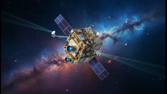



Meet the Ultimate Reference Point
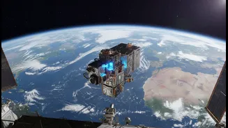
GRITSS stands for Geodetic Reference Instrument Transponder for Small Satellites. Launched in early July 2026 aboard a SpaceX rocket, this suitcase-sized satellite is on a mission to solve a fundamental problem in geodesy—the science of measuring Earth's
shape and orientation. Its job isn't to be a new GPS, but to make the entire global positioning grid dramatically more accurate. It does this by acting as a single, unified target in space that can be seen by three different and traditionally separate measurement systems on the ground. Think of it as a master key designed to unlock a new level of precision for our planet.
The Millimetre-Level Problem
Virtually all modern Earth observation, from your phone's map to scientific climate models, relies on the International Terrestrial Reference Frame (ITRF). This is the planet's official grid system, a highly precise virtual scaffolding. The ITRF is built by combining data from thousands of ground stations using three main techniques: Global Navigation Satellite Systems (GNSS) like GPS, Satellite Laser Ranging (SLR) which bounces lasers off satellites, and Very Long Baseline Interferometry (VLBI) which uses radio telescopes to observe distant cosmic objects. The problem is that tiny errors, down to the millimetre, creep in when trying to stitch the data from these separate systems together. Scientists call these 'site tie' errors, and they have limited how accurately we can measure our world.
A Three-in-One Solution From Orbit
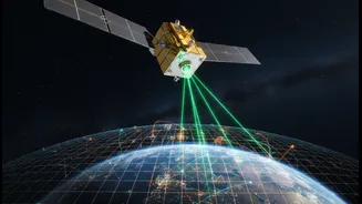
GRITSS solves this by becoming the common denominator. As it orbits Earth, it communicates with all three networks simultaneously. It carries a sophisticated GPS receiver, but instead of just using the signal for location, it captures it and rebroadcasts it on frequencies that the massive radio dishes of the VLBI network can understand. At the same time, it is equipped with a laser retroreflector, a special mirror that allows SLR ground stations to bounce laser beams off it to measure distance with incredible precision. By having one object talking to all three systems, scientists can finally nail down the exact distances between the different ground stations, effectively erasing those stubborn millimetre-level errors and strengthening the entire ITRF.
Redefining Mapping and Navigation
While you might not notice a millimetre's difference on your daily commute, this improved accuracy is transformative for specialised fields. For industries like autonomous vehicle development, advanced drone logistics, and precision agriculture, a more stable and reliable reference frame is critical. It enables the creation of next-generation topographic maps that are more detailed and accurate than ever before. This has profound implications for urban planning, infrastructure development, and managing land use in a country as dynamic as India. It provides a stronger foundation for systems like India's own NavIC, ensuring that as our reliance on geospatial data grows, the quality of that data keeps pace.
A Sharper Lens on Climate Change
Perhaps the most significant impact of GRITSS will be on climate science. Many of the most critical indicators of a changing planet involve tiny movements that are difficult to track. A super-accurate ITRF is essential for monitoring the subtle but crucial changes in sea levels, the melting of ice sheets in Antarctica and Greenland, and the rise or fall of land masses. For India, which has a vast coastline and is heavily reliant on monsoon patterns and Himalayan glacial melt, this capability is vital. Enhanced precision will allow scientists to better measure groundwater depletion, track land subsidence in major cities, and refine models that predict the impact of climate events like El Niño, leading to better-informed policy and disaster management strategies.