



A Constant Watch From 36,000 Kilometres
Most Earth observation satellites orbit our planet at a relatively low altitude, which means they pass over a specific location only at certain times. Think of them as photographers flying on a fixed airline route; they can only take pictures when their
plane is directly overhead. A geosynchronous satellite is different. By orbiting at an altitude of nearly 36,000 kilometres, its speed matches the Earth's rotation. This allows it to remain seemingly stationary over one region, providing a continuous, dedicated stream of imagery. It’s like having a security camera permanently fixed on your property, rather than one on a passing bus. This constant watch is a game-changer for monitoring rapidly developing situations like cyclones or floods.
EOS-05: India’s Milestone in the Sky
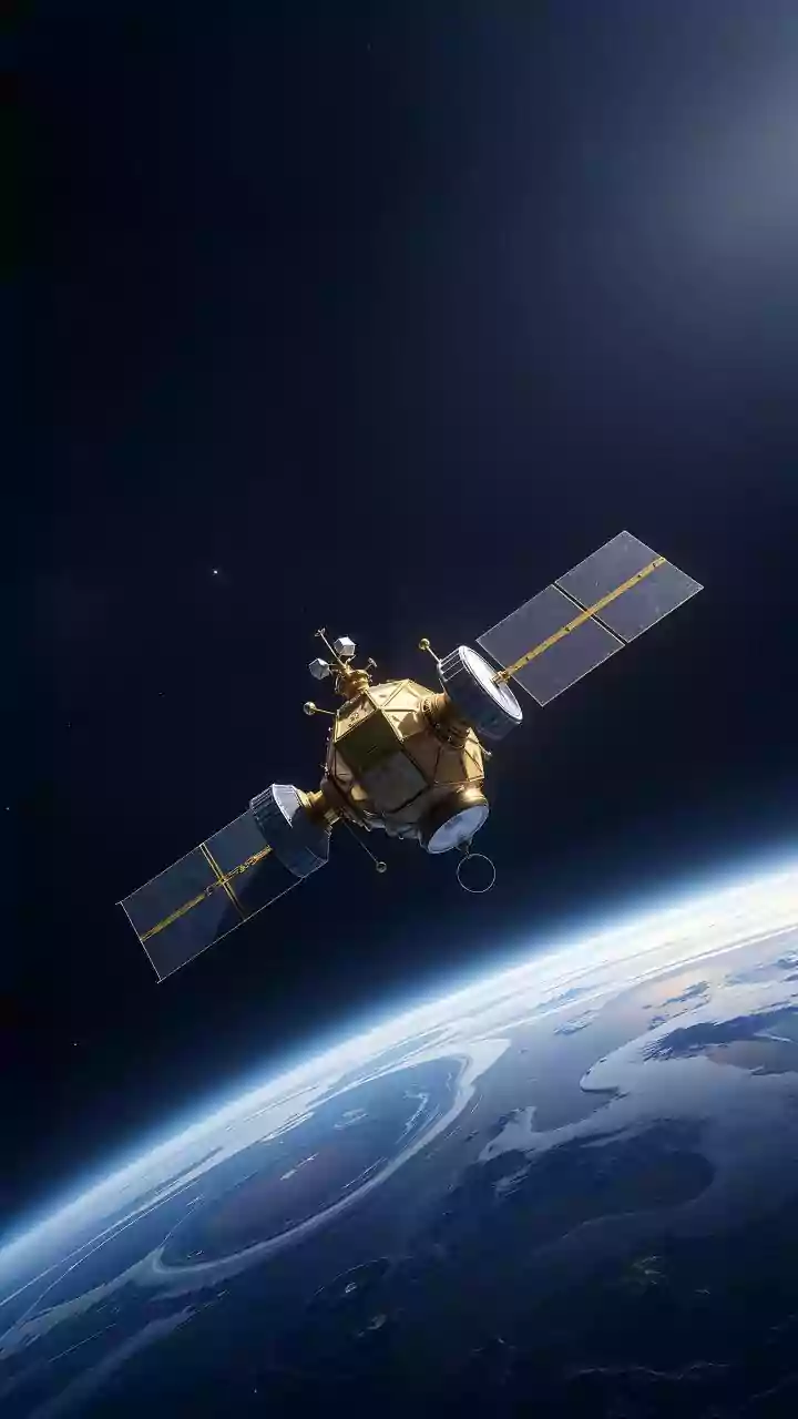
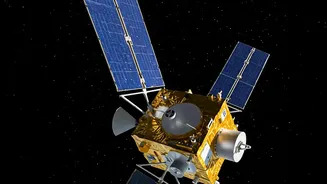
The Indian Space Research Organisation (ISRO) successfully launched the EOS-05 satellite, also known as GISAT-1A, on September 4, 2026. This state-of-the-art spacecraft is India's first imaging satellite designed to operate from a geosynchronous orbit. The launch of EOS-05 aboard the GSLV-F17 rocket marks a significant milestone, especially as it is the replacement for the GISAT-1 (EOS-03) mission, which was lost due to a launch vehicle anomaly in 2021. EOS-05 is designed to provide near real-time images of the Indian subcontinent, with the ability to capture pictures of a selected area every five minutes and the entire landmass every 30 minutes. This capability represents a major leap forward for the country's space-based observation assets.
How Imaging from Orbit Saves Lives
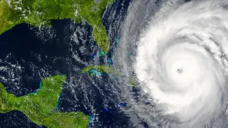
The true power of EOS-05 lies in its direct application to disaster management. For a nation prone to floods, cyclones, landslides, and forest fires, timely information is the most critical asset for saving lives. Before a disaster, the satellite can track the formation and movement of cyclones, allowing authorities to issue early warnings and plan evacuations more effectively. During a crisis, it provides real-time monitoring of flood inundation or the spread of forest fires, guiding rescue and relief teams to the most affected areas. After a disaster, the high-resolution imagery helps in assessing the extent of damage to infrastructure, homes, and agriculture, which is crucial for planning recovery and reconstruction efforts. This technology bridges the gap between a crisis unfolding on the ground and the ability of decision-makers to respond swiftly and effectively.
Beyond Disasters: A Multipurpose Guardian
While disaster management is a primary objective, the capabilities of EOS-05 extend to several other critical areas. The continuous monitoring it offers is invaluable for national security, allowing for enhanced surveillance of border regions and maritime areas. Its multi-spectral and hyperspectral cameras can provide detailed insights for agriculture, helping to monitor crop health, assess water stress, and manage natural resources more efficiently. Furthermore, it will aid in environmental monitoring by tracking changes in forests, water bodies, and glaciers. This makes EOS-05 a versatile national asset, contributing to economic planning and strategic security in addition to public safety.