


Permits: Who Needs What?
The most common point of confusion for travellers is permits. Let's simplify it. For Indian citizens, no special permit like an Inner Line Permit (ILP) is required to visit the main tourist areas of Spiti Valley, including Kaza, Tabo, Key Monastery, and
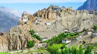
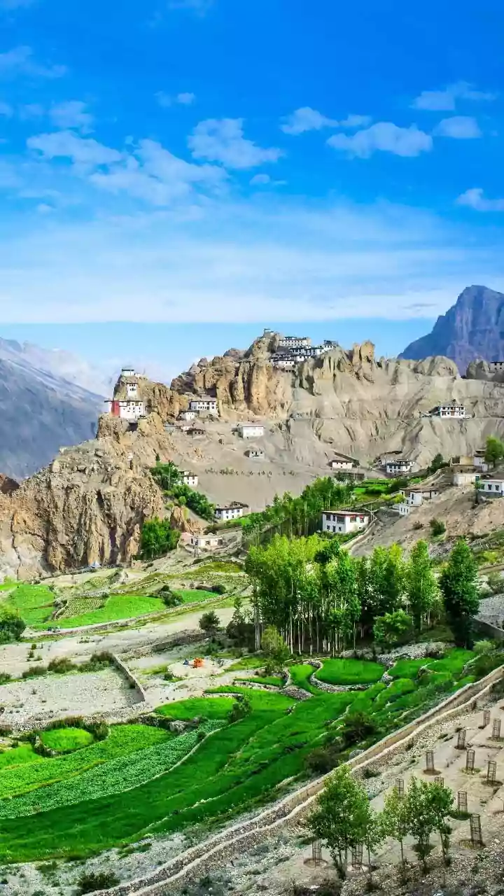
surrounding villages. You must, however, carry a valid government-issued photo ID like an Aadhaar card, driver's license, or passport. You will need to present this for registration at police checkposts, notably at Jangi and Sumdo if you are travelling from the Kinnaur side. This is a standard registration process, not a permit application. For foreign nationals, the rules are different. A Protected Area Permit (PAP), often colloquially called an Inner Line Permit, is mandatory to travel into the restricted areas of Spiti beyond Jangi (from the Kinnaur side). This applies to popular destinations like Kaza, Tabo, and Dhankar. The permit must be obtained offline before entering the restricted zone.
How to Get Your Permit
For foreign nationals requiring a Protected Area Permit (PAP), the application is an offline, in-person process. As of 2026, there is no reliable online system for the Spiti PAP. Permits are issued at the District Magistrate (DM) or Sub-Divisional Magistrate (SDM) offices. The most convenient offices for travellers on the popular Shimla-Spiti route are in Shimla or, more commonly, at the SDM office in Reckong Peo, the district headquarters of Kinnaur. Applying at Reckong Peo is practical as it is the last major town before the restricted area begins.
To apply, you will typically need photocopies of your passport and visa, passport-sized photographs, and a detailed itinerary. Officially, permits are often issued to groups of two or more, sometimes sponsored by a registered travel agency, though enforcement of this can vary. The process usually takes a few hours, and it's wise to carry multiple copies of the issued permit to submit at various checkposts.
Decoding Spiti's Weather in August
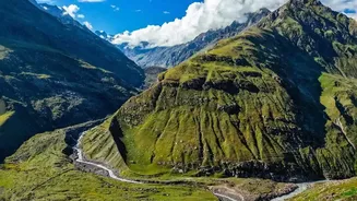
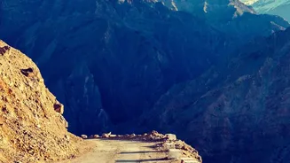
August is monsoon season in much of Himachal Pradesh, but Spiti Valley lies in a rain-shadow area, meaning it receives significantly less rainfall than regions like Kullu or Kinnaur. While Kaza itself might be relatively dry and sunny, the approach roads are highly susceptible to weather-related disruptions. The Shimla-Kaza highway (NH-05) via Kinnaur is particularly vulnerable to landslides and blockades during heavy rains, especially on the stretches between Wangtu and Sumdo. The Manali-Kaza route, while shorter, has its own challenges with treacherous water crossings that swell with rain and afternoon snowmelt. A key takeaway for August travel is to build several buffer days into your itinerary to account for potential road closures, which can last from a few hours to a couple of days.
Finding Real-Time Road & Weather Updates
Given the volatile conditions, relying on outdated information is a significant risk. Google Maps is often unreliable for real-time landslide updates in these remote areas. For the most current information, it is best to use a combination of official sources and local intelligence. The Lahaul & Spiti Police and District Disaster Management Authority (DDMA) often post road status updates on their official social media pages, especially during adverse weather events. These are invaluable for alerts on closures at high passes like Kunzum La or blockades on the highways. Additionally, before starting your day’s journey, always speak with local taxi drivers, hotel staff, or guesthouse owners in towns like Reckong Peo, Kaza, or Keylong. They have the most up-to-date, ground-level information on the condition of the road ahead, which is often more current than any website.
Choosing Your Route: Shimla vs. Manali
Travellers have two primary routes into Spiti: from Shimla via Kinnaur or from Manali via the Atal Tunnel and Kunzum Pass. For an August trip, the Shimla-Kaza highway is generally considered the more reliable, albeit longer, option. It allows for gradual acclimatisation to the high altitude, reducing the risk of altitude sickness. While this route is exposed to monsoon rains and landslides, it typically remains the primary access road.
The Manali-Kaza route, though shorter, involves a rapid ascent to the high-altitude Kunzum Pass (over 14,900 feet). This road is known for being extremely rough, particularly the stretch between Gramphu and Losar, which features numerous water crossings and is often recommended only for 4x4 vehicles. As of late July and early August 2026, both routes are reported to be open, but the Shimla side is often preferred for a safer, more gradual entry during the unpredictable monsoon season.