
Why Lunar Water is a Game-Changer
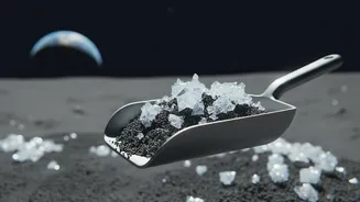
Finding water on the Moon is not just about quenching an astronaut's thirst. Water (H₂O) can be split into hydrogen and oxygen, providing breathable air and, crucially, the two key components of rocket propellant. The ability to 'live off the land' and refuel
spacecraft far from Earth would dramatically reduce the cost and complexity of deep-space exploration, making long-term lunar bases and missions to Mars more feasible. It is the single most valuable local resource for future explorers, which is why space agencies globally, including ISRO, are intensely focused on locating it.
The Challenge of Finding Hidden Ice
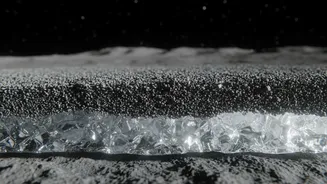
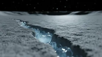
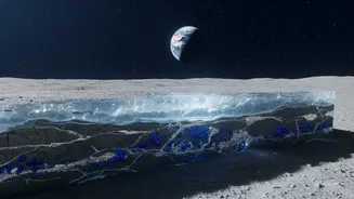
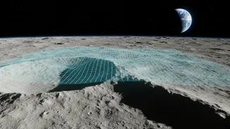
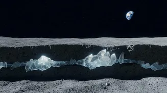
Lunar ice isn't sitting on the surface in plain sight. It’s primarily concentrated in 'Permanently Shadowed Regions' (PSRs) near the poles—craters and depressions where sunlight has not reached for billions of years, keeping temperatures cold enough to preserve ice. Most of this ice is thought to be mixed with the dusty lunar soil, known as regolith, or potentially buried in thicker layers deep underground. Orbiting spacecraft can only get a limited view of the very top surface, meaning scientists have to rely on clever indirect methods to peer beneath the ground and map what lies beneath.
Listening for Ice with Moonquakes
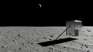
A groundbreaking new method involves using seismology—the study of vibrations—to detect subsurface ice. Research published in mid-2026 suggests that seismic waves, like those from small 'moonquakes' or artificially created by rover drills, travel differently through frozen and dry soil. Ice makes the regolith stiffer, allowing these vibrations to move two to three times faster than through dry material. By placing seismometers on the surface, scientists can listen to these vibrations and analyze their speed and path. This data allows them to build a model of the subsurface, identifying areas that are likely stiff with ice, much like conducting an ultrasound on the Moon. This technique is set to be tested by upcoming missions, including China's Chang'e-7, which is expected to land in late 2026 with a seismometer on board.
Finding Hydrogen with Neutrons
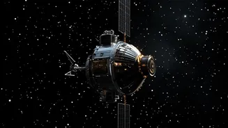
One of the most established methods for detecting lunar water from orbit or the surface is using a neutron spectrometer. The lunar surface is constantly bombarded by high-energy cosmic rays, which create a spray of particles, including neutrons. These neutrons bounce around within the lunar soil. When they collide with hydrogen atoms—the 'H' in H₂O—they lose a significant amount of energy. A neutron spectrometer is designed to count these neutrons at different energy levels. If the instrument detects fewer medium-energy neutrons than expected in a particular area, it's a strong sign that hydrogen is present below the surface, slowing them down. This doesn't confirm water directly, but a high concentration of hydrogen in a frigid PSR is a very strong indicator of water ice.
Seeing Below the Surface with Radar
Another powerful tool is subsurface radar, which has been used effectively on missions like India's Chandrayaan-2. An instrument like a Synthetic Aperture Radar (SAR) sends radio waves into the ground. The way these signals bounce back reveals clues about the material they passed through. Most lunar soil reverses the polarization of the radar signal. However, thick deposits of water ice, a low-loss material, can cause the signal to scatter multiple times internally before returning to the sensor, resulting in a distinctively high Circular Polarization Ratio (CPR). Scientists look for craters that have a high CPR on their permanently shadowed floors but not on the surrounding terrain. This anomaly helps them distinguish the signature of ice from that of rough, rocky surfaces.
From Signals to Maps
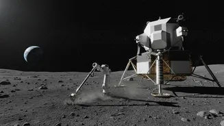
No single instrument tells the whole story. The process of mapping lunar ice involves combining data from multiple sources. For example, temperature data from an orbiter like NASA's Lunar Reconnaissance Orbiter (LRO) can identify the coldest traps where ice is stable. This can be overlaid with neutron data pointing to high hydrogen concentrations and radar data suggesting subsurface ice deposits. By integrating these different layers of information, scientists can build detailed, three-dimensional maps that not only show where the ice is likely located but also offer estimates on its concentration and depth. These maps are essential for planning future robotic and human missions, like NASA's VIPER rover, which is designed to drill into these mapped hotspots and provide the ultimate confirmation.