


The Sun’s Unseen Threat
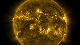
The Sun, our life-giving star, has a volatile side. It frequently releases immense bursts of energy and matter. The two main events we worry about are solar flares and Coronal Mass Ejections (CMEs). A solar flare is a giant flash of radiation, while a CME is a massive
eruption of magnetised plasma from the Sun's outer atmosphere, the corona. While solar flares travel at the speed of light and reach us in minutes, CMEs are slower, taking anywhere from 15 hours to several days to arrive. These events hurl charged particles into space, and when Earth is in the line of fire, our technological infrastructure is at risk.
Why GPS Is Vulnerable
Global Navigation Satellite Systems (GNSS), which include GPS, rely on a delicate dance of timing signals sent from satellites to receivers on the ground. For these signals to be accurate, they must travel through Earth's ionosphere, a layer of the atmosphere filled with charged particles. When a CME hits Earth's magnetic field, it can cause a geomagnetic storm, dramatically disturbing the ionosphere. This turbulence can delay and distort the satellite signals, a phenomenon known as scintillation. This can lead to navigation errors of several meters or, in severe cases, cause a receiver to lose the signal entirely. For industries like aviation, shipping, and precision agriculture, even minor errors can have significant consequences.
The Coronagraph: An Artificial Eclipse
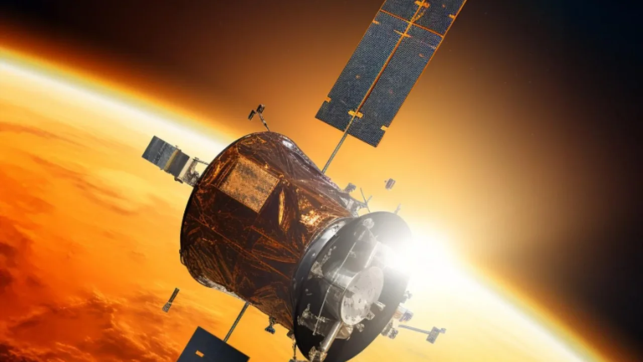
To protect our systems, we first need to see the threat coming. This is where the coronagraph comes in. It’s a special instrument designed to block the overwhelming glare of the Sun's surface, allowing scientists to see the much fainter corona. Think of it as creating an artificial solar eclipse inside a telescope. French astronomer Bernard Lyot invented the first one in the 1930s. Today, coronagraphs are mounted on satellites, like the Solar and Heliospheric Observatory (SOHO), where they have a clear, uninterrupted view of the Sun without interference from Earth's atmosphere. These instruments allow forecasters to spot CMEs as they erupt and track their journey through space.
From Data to Advanced Warning
Satellite coronagraphs, such as the Large Angle and Spectrometric Coronagraph (LASCO) on SOHO, continuously capture images of the Sun's corona. When a CME erupts, it appears in these images as an expanding cloud of material. By analysing a series of these images, space weather forecasters can determine the CME's size, speed, and direction. This allows them to predict if it's heading toward Earth and, if so, estimate when it will arrive. Additional satellites positioned between the Earth and Sun, like the Deep Space Climate Observatory (DSCOVR), can provide a final, more immediate warning, typically 15 to 60 minutes before the storm's impact.
Taking Protective Measures
This advanced warning is crucial. With hours or even days of notice, satellite operators and infrastructure managers can take steps to mitigate damage. For GNSS satellites, this might involve temporarily putting them into a 'safe mode' to protect sensitive electronics from damaging radiation. Power grid operators can prepare for induced currents that could overload their systems. Furthermore, the data helps in creating more accurate models of the ionospheric disturbance, allowing advanced GNSS receivers to better correct for the signal errors caused by the storm. Airlines can also reroute flights away from polar regions where the effects of space weather are strongest, protecting both navigation equipment and passengers from increased radiation.