


The New Rules of the Game
The U.S. Environmental Protection Agency (EPA) has rolled out stringent new regulations targeting methane emissions from the oil and gas sector. Methane is a greenhouse gas with a warming potential more than 80 times that of carbon dioxide over a 20-year
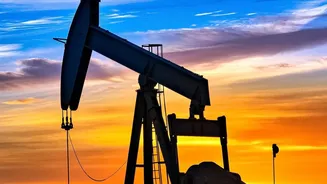
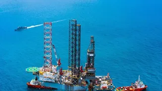
period, making it a critical target for climate action. These new rules, finalized in 2024, require operators to aggressively monitor for and repair leaks from both new and existing facilities. The Permian Basin, an immense oil- and gas-producing region spanning West Texas and southeastern New Mexico, is at the epicenter of this shift. It has historically been one of the largest sources of methane emissions in the country, but the new regulatory landscape, which includes a 'super-emitter' program to rapidly address large leaks, is changing how business is done. Companies now face not only potential fines but also increased pressure from investors and the public to clean up their operations.
Eyes in the Sky: How the Technology Works
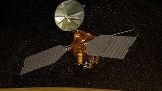
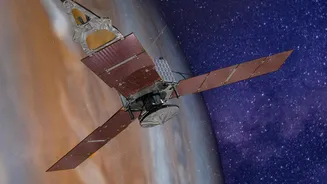
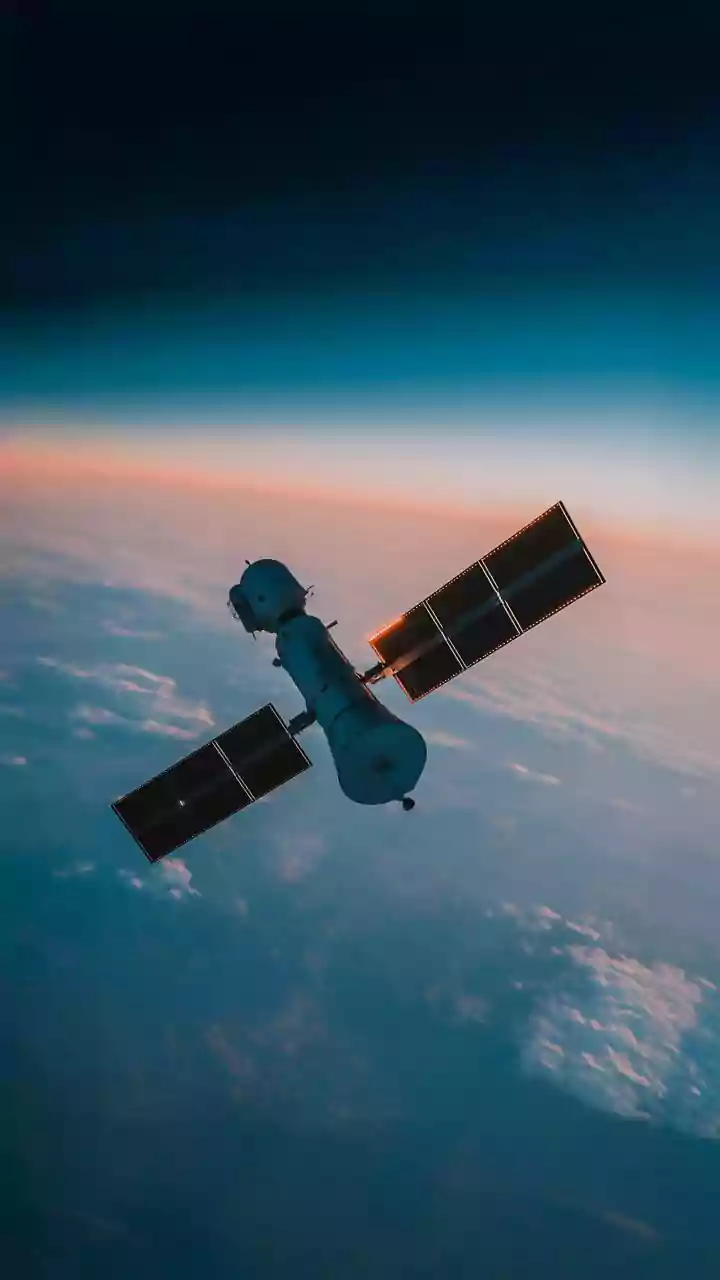
You can't fix a leak you can't see. This is where a growing fleet of specialized satellites comes into play. Companies like GHGSat, Carbon Mapper, and data from public missions like the European Space Agency's Sentinel satellites are providing an unprecedented level of oversight. These satellites are equipped with advanced imaging spectrometers that can detect the unique spectral fingerprint of methane in the atmosphere. When sunlight reflects off the Earth's surface, these instruments analyze the light spectrum. Methane absorbs light at specific infrared wavelengths, creating a signature that the satellite can identify and quantify. Some satellites offer wide-area monitoring to identify regional hotspots, while others can zoom in with high precision to pinpoint the exact facility—or even the specific piece of equipment—that is leaking. This turns the invisible threat of methane into actionable data.
From Data to Action
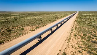
For pipeline operators in the Permian, this satellite data is transforming their maintenance and repair workflows. Instead of relying solely on periodic ground-based inspections, which can be slow and miss intermittent leaks, companies now receive near-real-time alerts about emissions. When a satellite detects a significant methane plume, the data is shared with the operator, often through collaborative initiatives or direct subscription services. This allows companies to dispatch repair crews to the precise location of the leak far more quickly and efficiently. This proactive approach not only ensures compliance with the stricter EPA rules but also carries a significant business benefit. Methane is the primary component of natural gas; therefore, every leak represents lost product and revenue. By plugging leaks faster, companies can save millions of dollars in wasted gas, turning a regulatory burden into an operational efficiency.
A Global Blueprint for Accountability
The use of satellite scrutiny in the Permian Basin serves as a potential blueprint for environmental regulation and corporate accountability worldwide. The data collected from orbit is increasingly being used by researchers, advocacy groups, and governments to verify self-reported emissions data from companies, which have sometimes been found to be significantly underestimated. Recent satellite campaigns have already highlighted discrepancies between reported emissions and observed reality, creating pressure for greater transparency. As the technology becomes more sophisticated and widespread, it will become harder for polluters to hide. This new era of radical transparency could be applied to other industries and other types of emissions, creating a global standard where environmental performance is constantly monitored from above, ensuring that climate goals are backed by verifiable action on the ground.